Uphill
76m
Length
4km
Duration
1h
Elev gain
76m
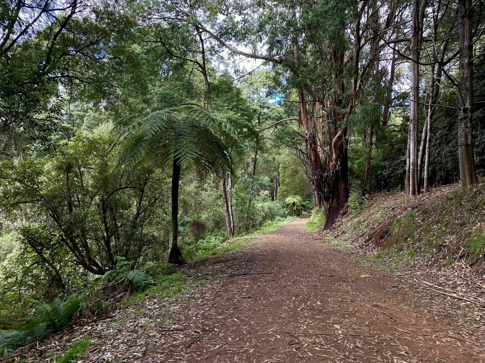
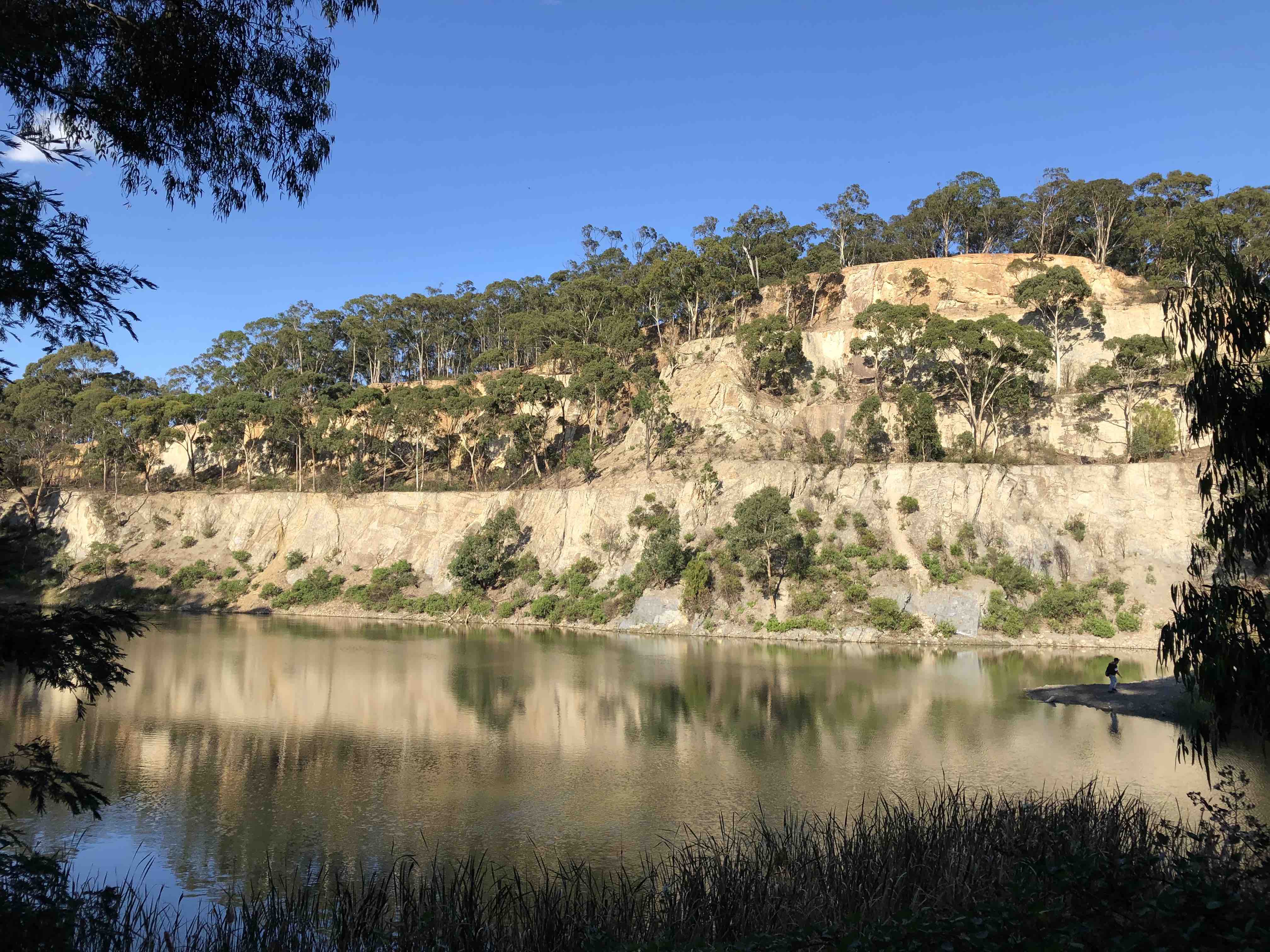
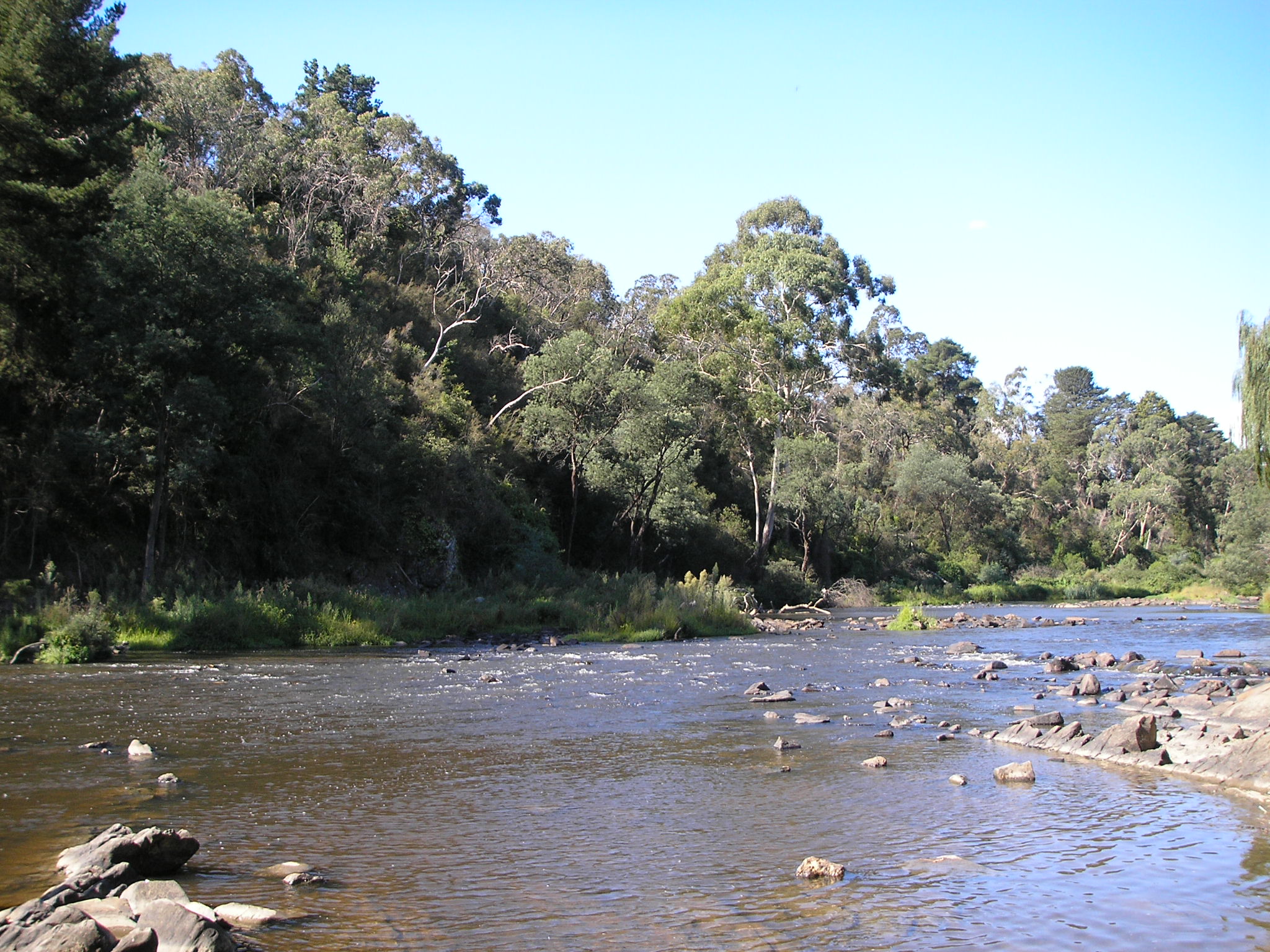
This is a lovely loop in the Warrandyte State Park on the outskirts of Melbourne, following the Yarra River, making it the perfect hike for a short excursion away from the city bustle. The trail is easy, snaking along the river bend on footpaths with a few small step sections. The rich flora and fauna of the Warrandyte State Park are the best part of this hike along with the scenic views of the river framed by the vibrant vegetation. The chances of spotting kangaroos, wallabies and a wide variety of birds are high!

Already more than 200,000 users!
Uphill
76m
Highest point
73m
Downhill
76m
Lowest point
25m
Route type
Loop
Download the map on your smartphone to save battery and rest assured to always keep access to the route, even without signal.
Includes IGN France and Swisstopo.
I indicate whether dogs are allowed or prohibited on this trail
All year
0 ratings
Also enjoy:

Already more than 200,000 users!