Uphill
356m
Length
12km
Duration
4h
Elev gain
356m
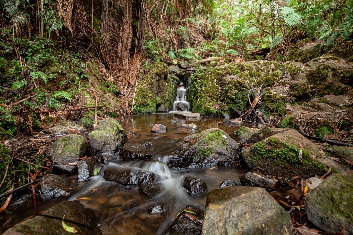
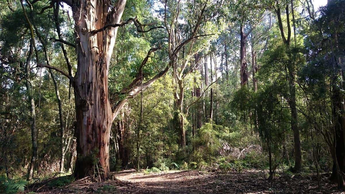
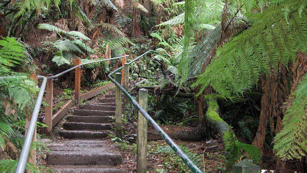
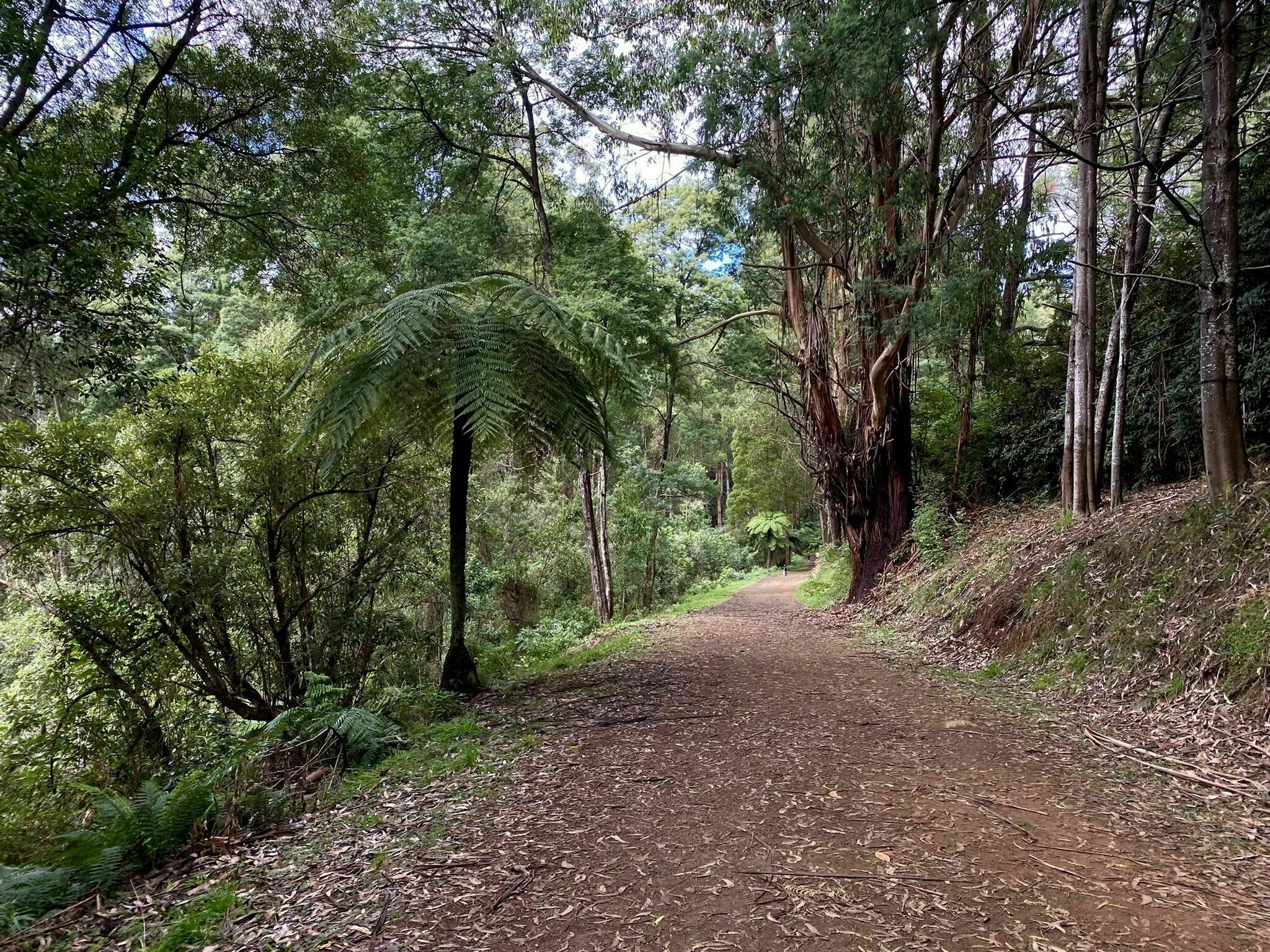
This is a walk in the Dandenong Ranges National Park, East of Melbourne. The trail is comfortable with a few uphill passages, and the terrain varies a lot, between gravel track, paved road, dirt trail… The wildlife is vibrant in the forest and there are many opportunities for birdwatching on this track. The views in the tree openings and at the top are lovely and lush, well with the effort!

Already more than 200,000 users!
Uphill
356m
Highest point
485m
Downhill
356m
Lowest point
225m
Route type
Loop
Download the map on your smartphone to save battery and rest assured to always keep access to the route, even without signal.
Includes IGN France and Swisstopo.
I indicate whether dogs are allowed or prohibited on this trail
All year
0 ratings
Also enjoy:

Already more than 200,000 users!