Uphill
226m
Length
6km
Duration
2h
Elev gain
226m
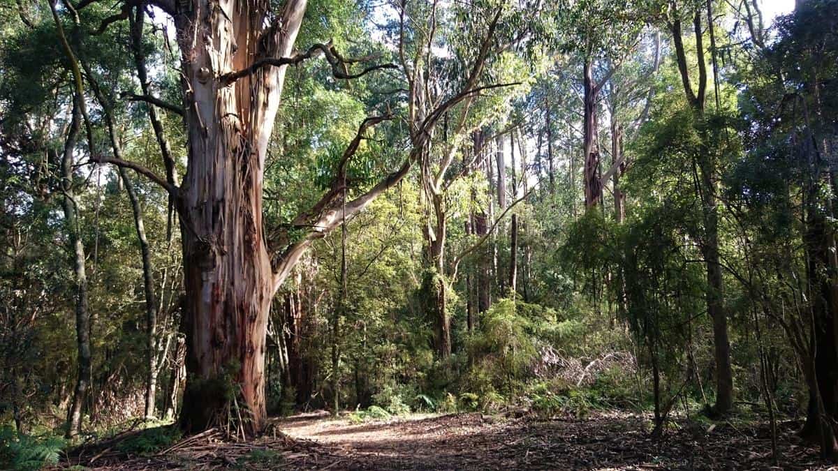
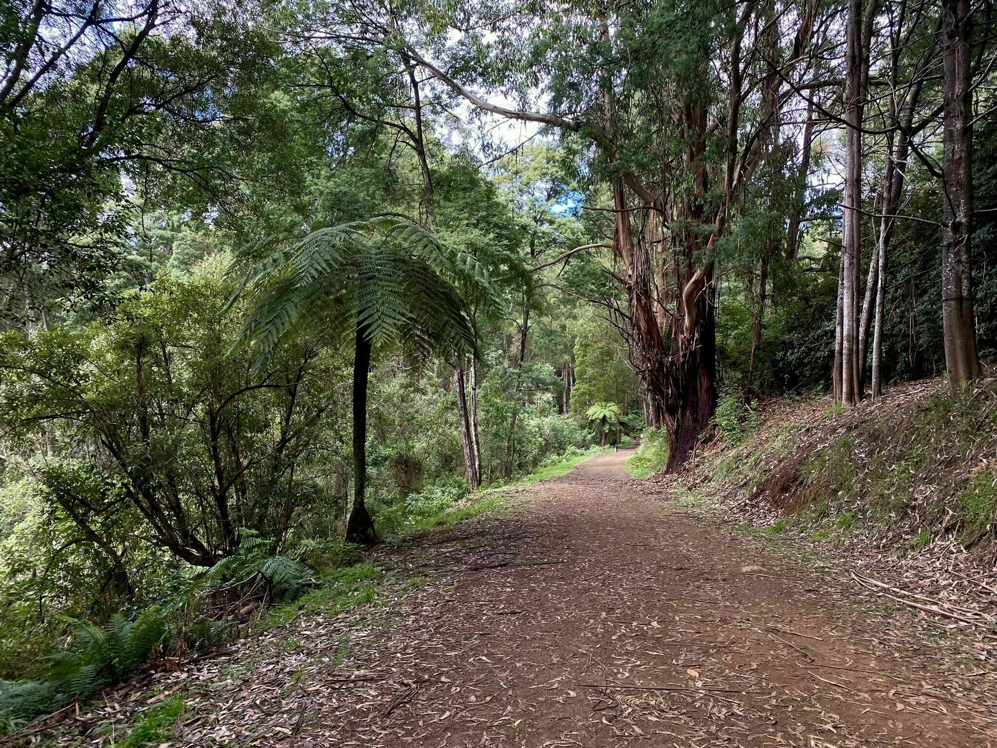
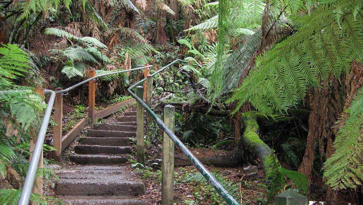
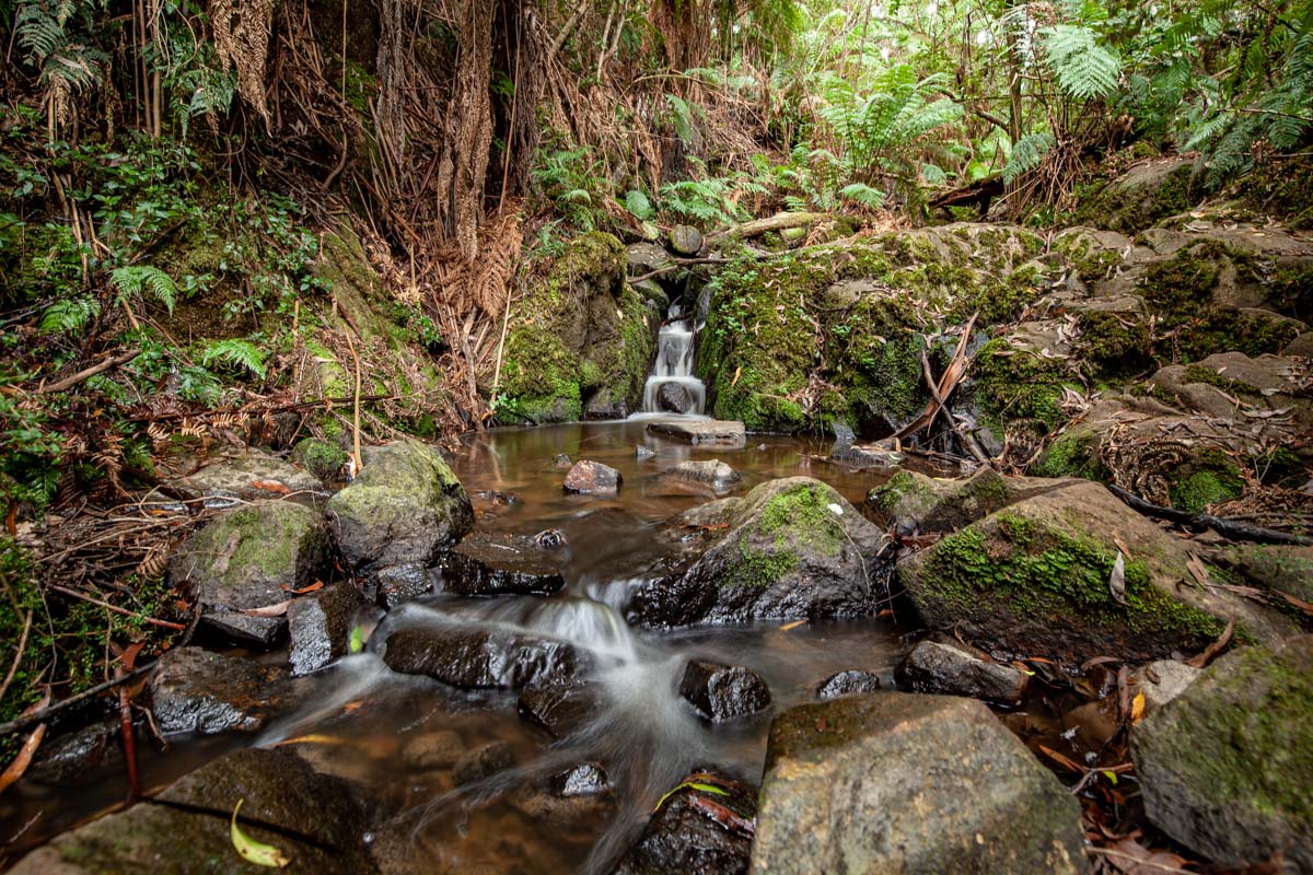
This is a great trail in Sherbrooke between Ferny Creek and Kallista, west of Melbourne in the Dandenong Ranges National Park. It combines a number of tracks to loop around the forest to get to Sherbrooke Falls. The trail is moderate and relatively wide.
Beginning from the car park on the O’Donohue Track to carry on Ridge track and then veering right on Moore Break, using the Hackett and Monuments track to get back to Lloyd track, cutting a bit shorter the forest loop. The water, ferns and trees create a lush and vibrant atmosphere throughout the walk.

Already more than 200,000 users!
Uphill
226m
Highest point
524m
Downhill
226m
Lowest point
357m
Route type
Loop
Download the map on your smartphone to save battery and rest assured to always keep access to the route, even without signal.
Includes IGN France and Swisstopo.
I indicate whether dogs are allowed or prohibited on this trail
All year
0 ratings
Also enjoy:

Already more than 200,000 users!