Uphill
90m
Length
6km
Duration
1h30min
Elev gain
90m
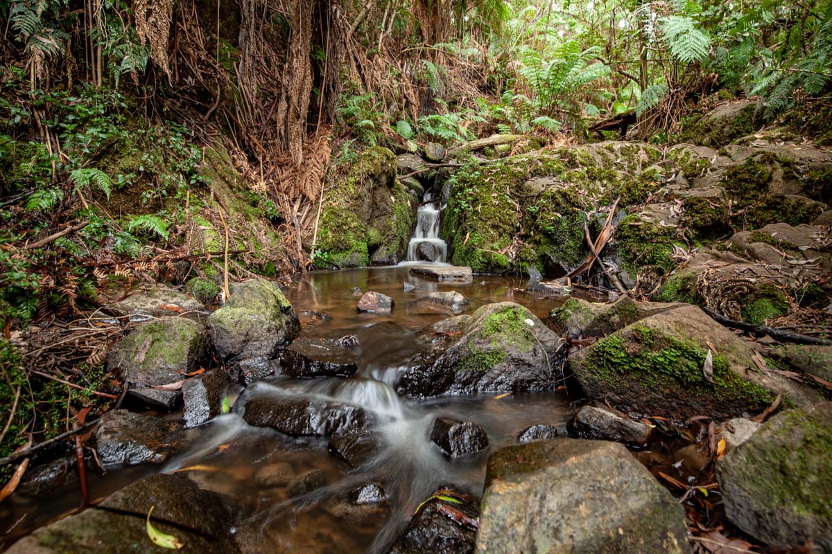
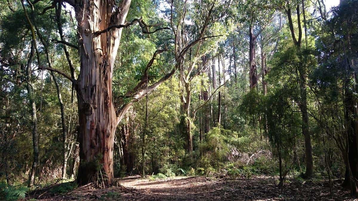
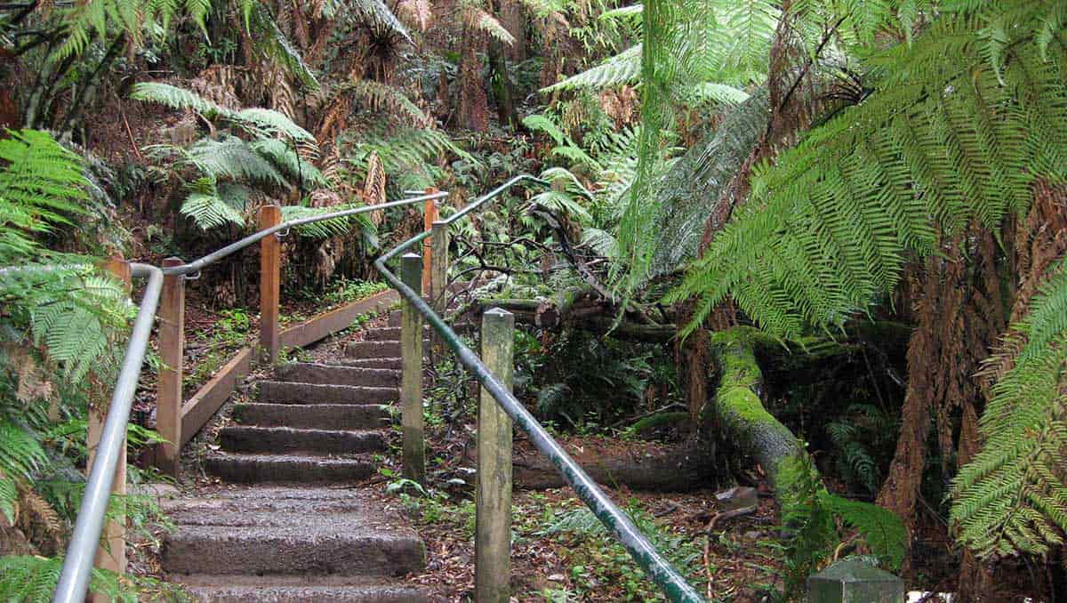
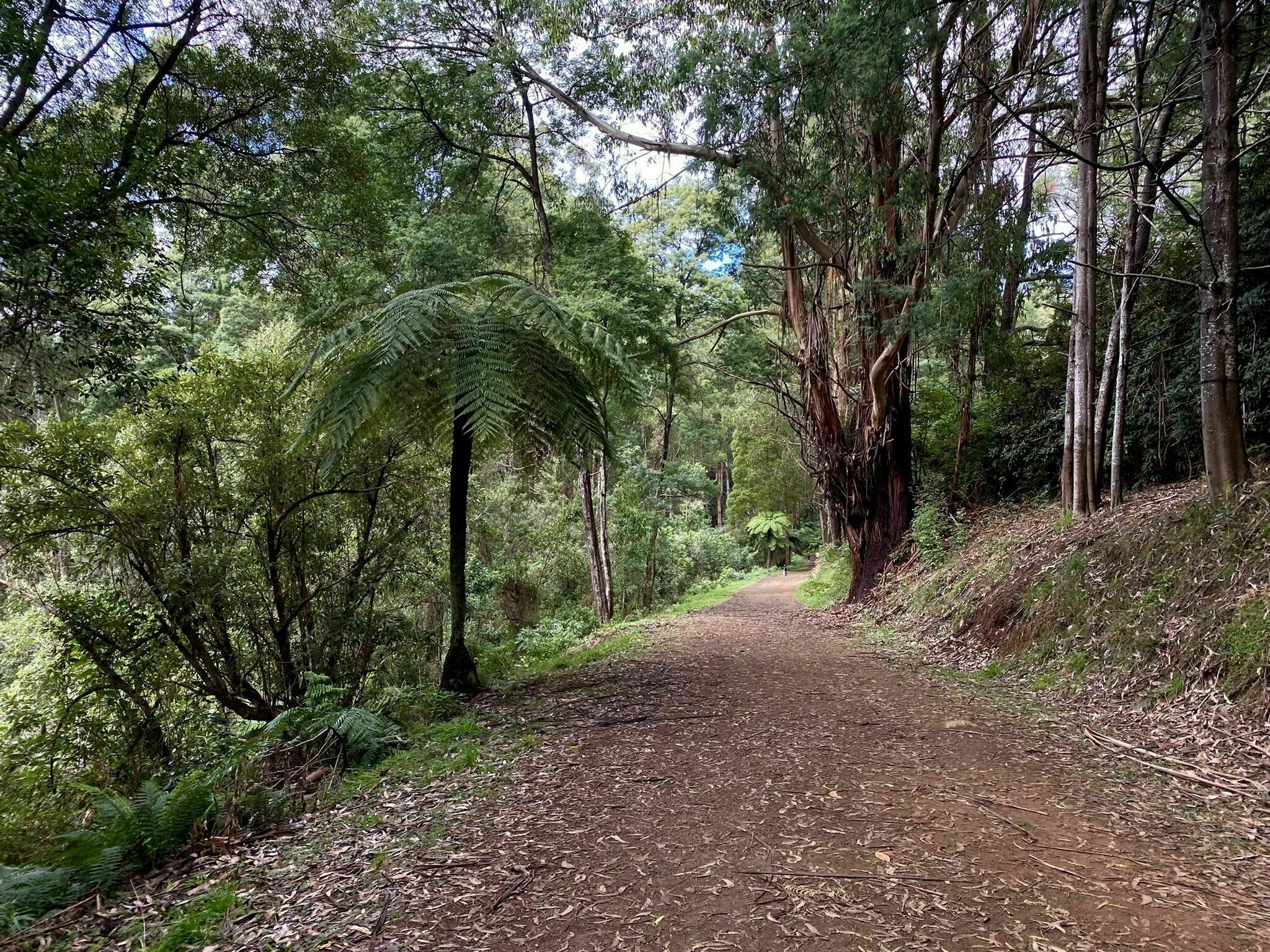
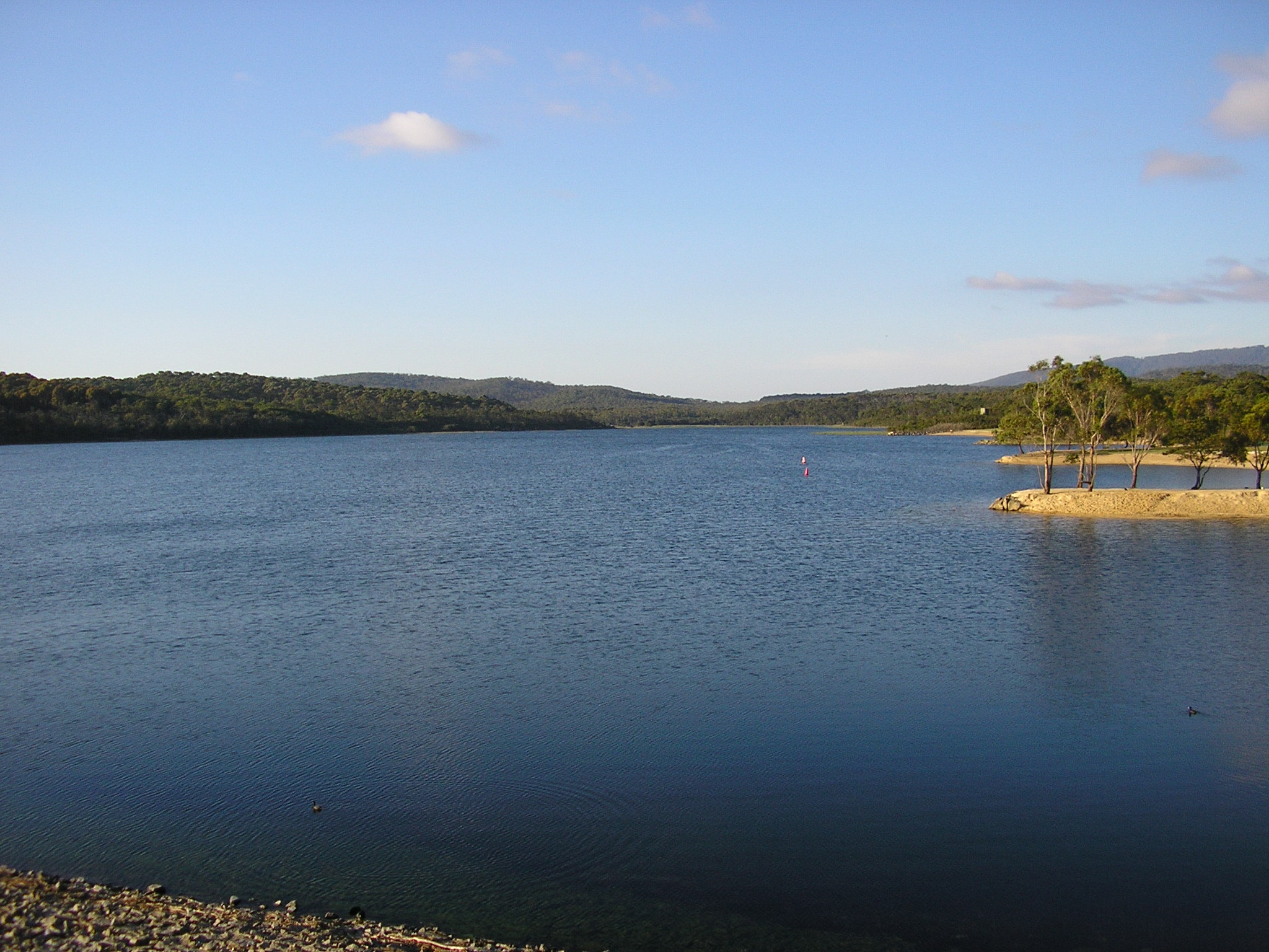
This is an easy and lovely loop around Lysterfield Lake, Southwest of Melbourne.The trail is fairly flat but there are a few sections that are specifically for mountain bikes, one should be careful when on these parts of the trail. The trail offers nice views of the lake and harbors a rich flora and fauna. There are many kangaroos around!

Already more than 200,000 users!
Uphill
90m
Highest point
86m
Downhill
90m
Lowest point
39m
Route type
Loop
Download the map on your smartphone to save battery and rest assured to always keep access to the route, even without signal.
Includes IGN France and Swisstopo.
I indicate whether dogs are allowed or prohibited on this trail
All year
0 ratings
Also enjoy:

Already more than 200,000 users!