Uphill
264m

Length
7km
Duration
2h30min
Elev gain
264m
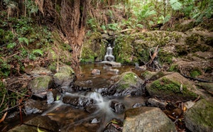
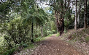
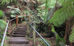
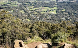
This is a great loop combining several tracks in the Dandenong Ranges National Park for a day trip outside of Melbourne. The loop begins on Lyrebird track to then merge on Neuman Road. After a while it carries on to Paddy Track to finally arrive on the Coles Ridge Track back to the starting point. The track moves through a rich rainforest, with beautiful eucalyptuses, sequoias and ferns as well as waterfalls.

Already more than 200,000 users!
Uphill
264m
Highest point
397m
Downhill
264m
Lowest point
212m
Route type
Loop
Download the map on your smartphone to save battery and rest assured to always keep access to the route, even without signal.
Includes IGN France and Swisstopo.
I indicate whether dogs are allowed or prohibited on this trail
All year
0 ratings
Also enjoy:

Already more than 200,000 users!