Uphill
446m

Length
14km
Duration
4h30min
Elev gain
446m
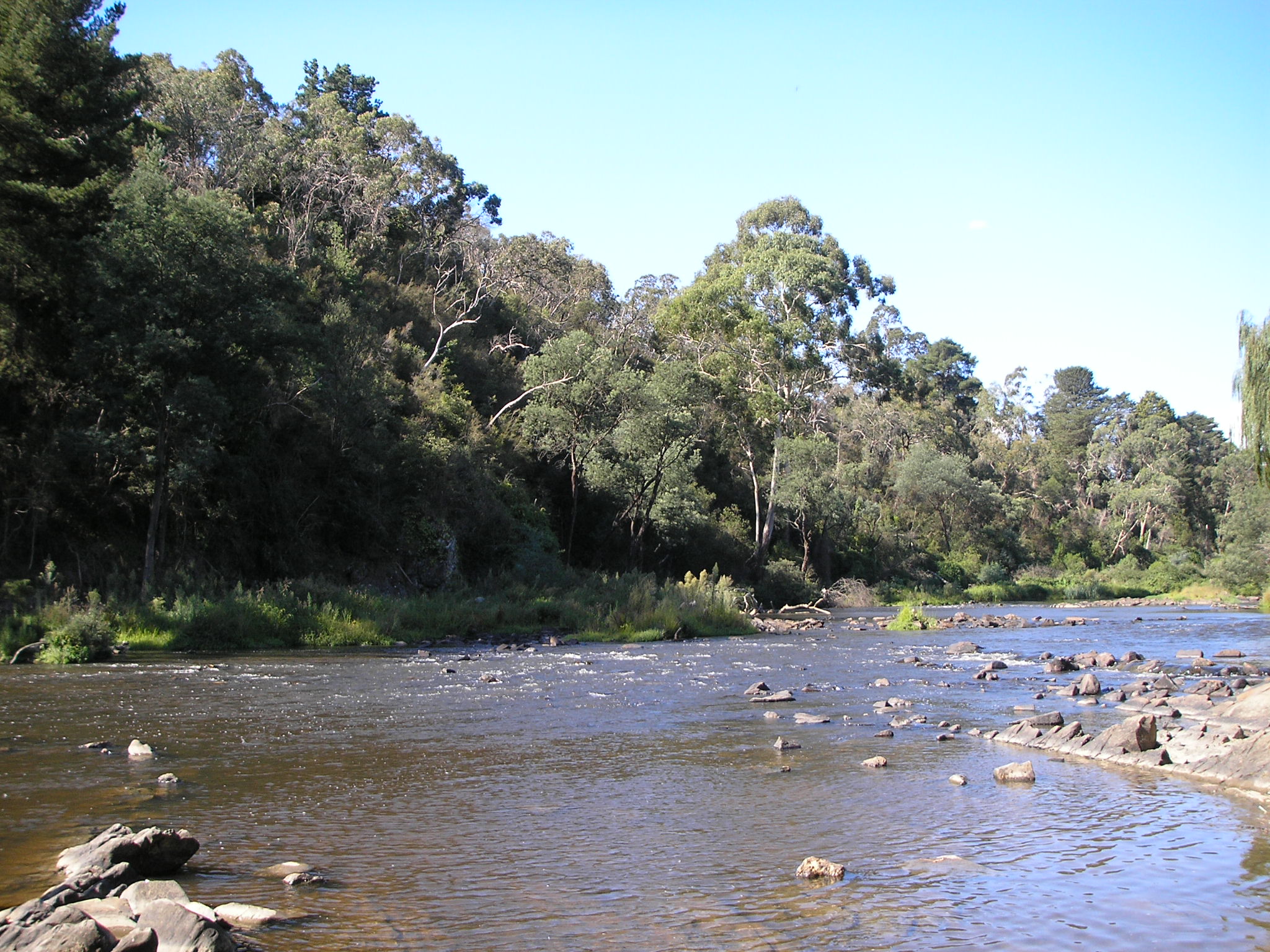
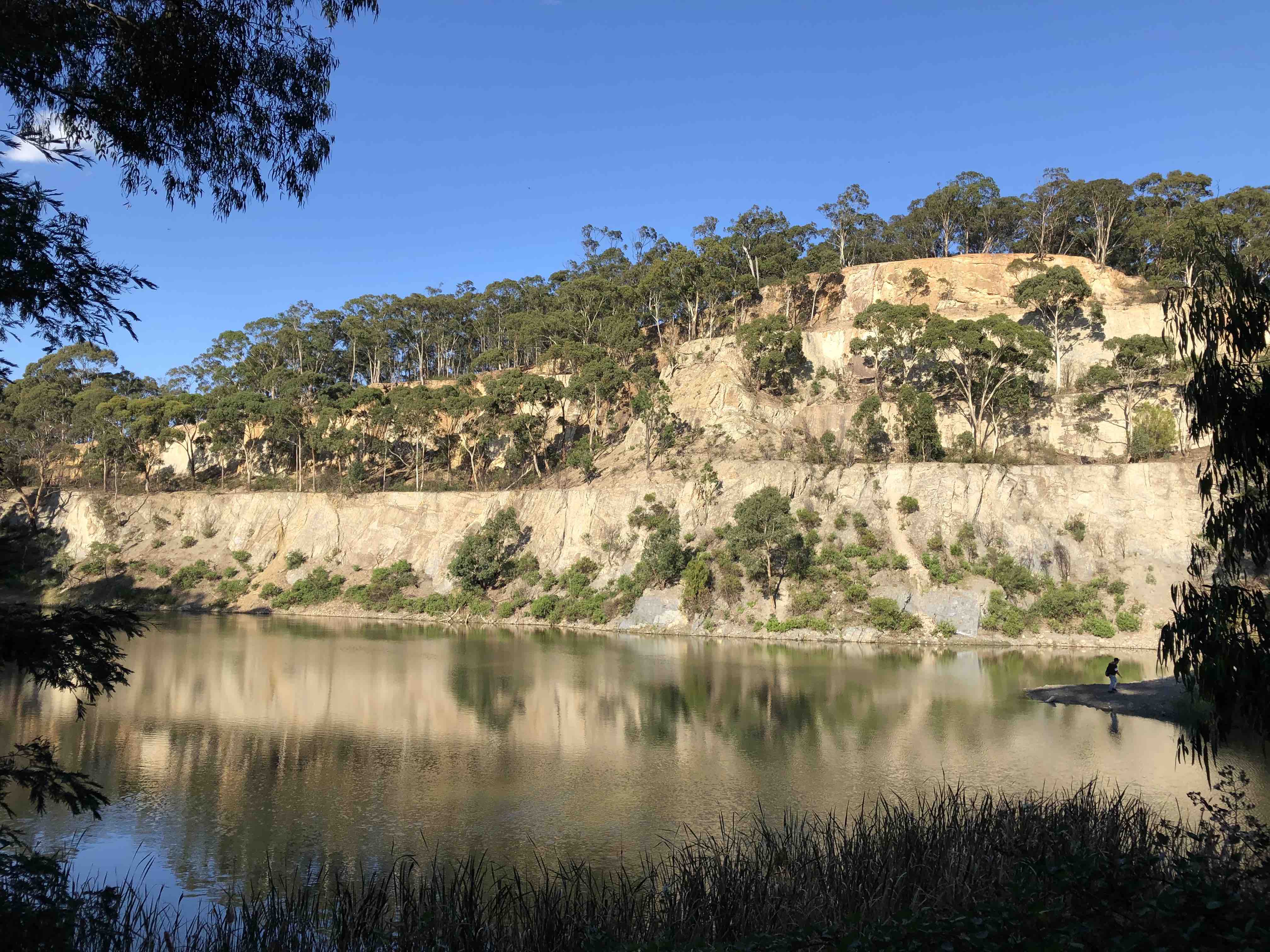
Discover this lovely loop in the Kinglake National Park, leading to summit Mount Sugarloaf and then passing by the impressive Mason Falls.
The trail is a good challenge but still very manageable with some uphill and downhill terrain. The track is well marked and easy to follow. Although the views at the top of Mount Sugarloaf are nice, the Mason Falls are the piece de resistance for this trail, with amazing views from the lookout (particularly impressive following rainfall).

Already more than 200,000 users!
Uphill
446m
Highest point
562m
Downhill
446m
Lowest point
230m
Route type
Loop
Download the map on your smartphone to save battery and rest assured to always keep access to the route, even without signal.
Includes IGN France and Swisstopo.
I indicate whether dogs are allowed or prohibited on this trail
All year
0 ratings
Also enjoy:

Already more than 200,000 users!