Uphill
378m
Length
6km
Duration
3h
Elev gain
378m
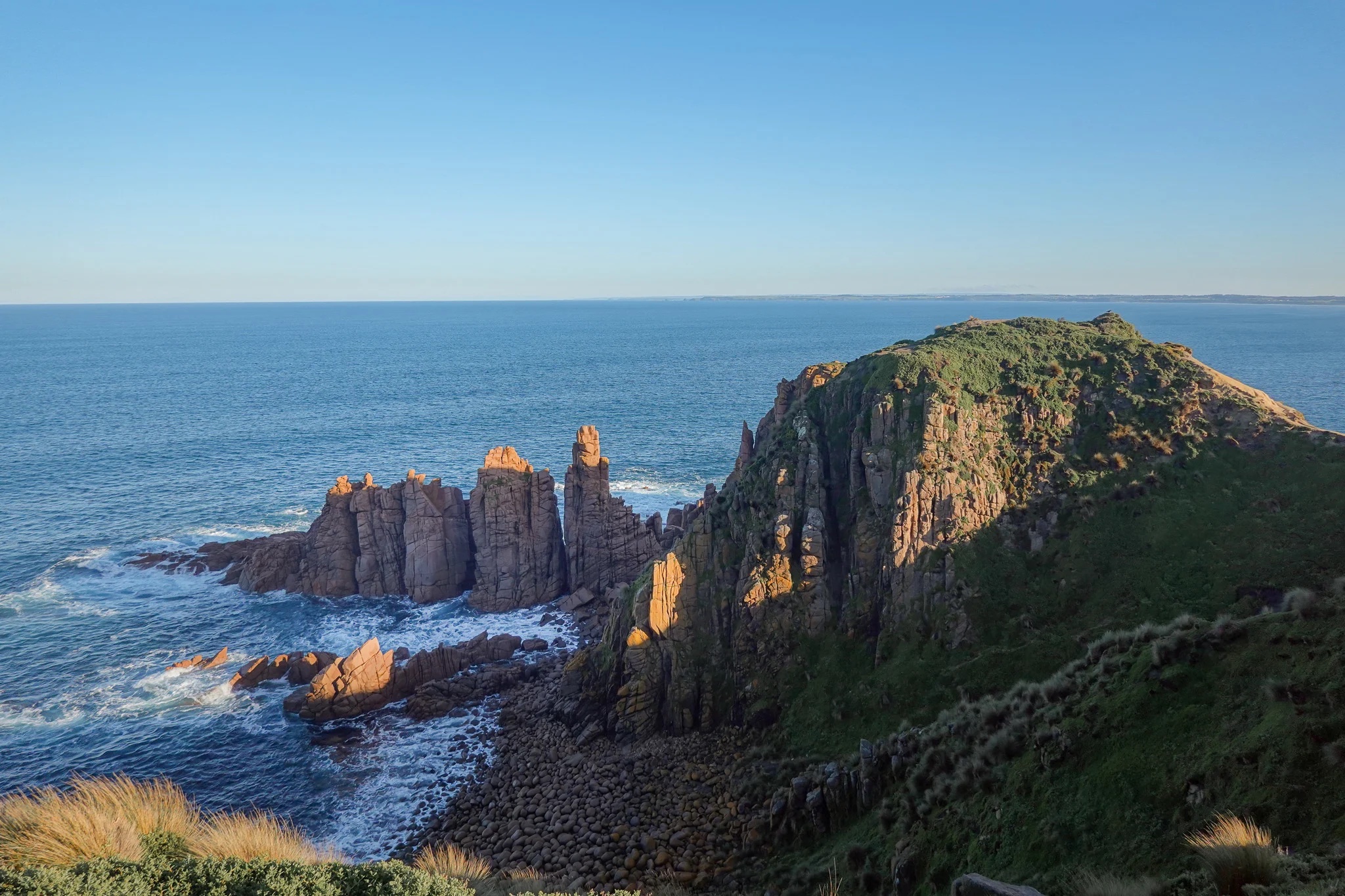
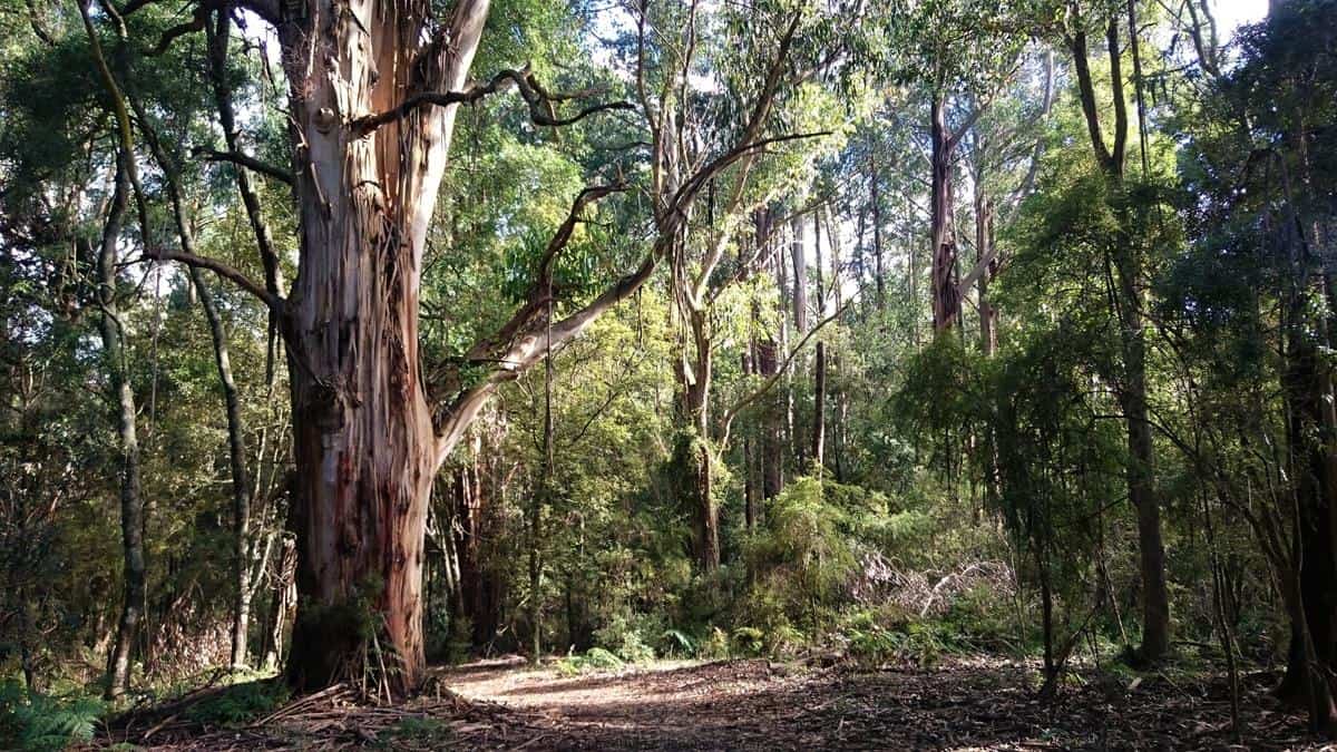
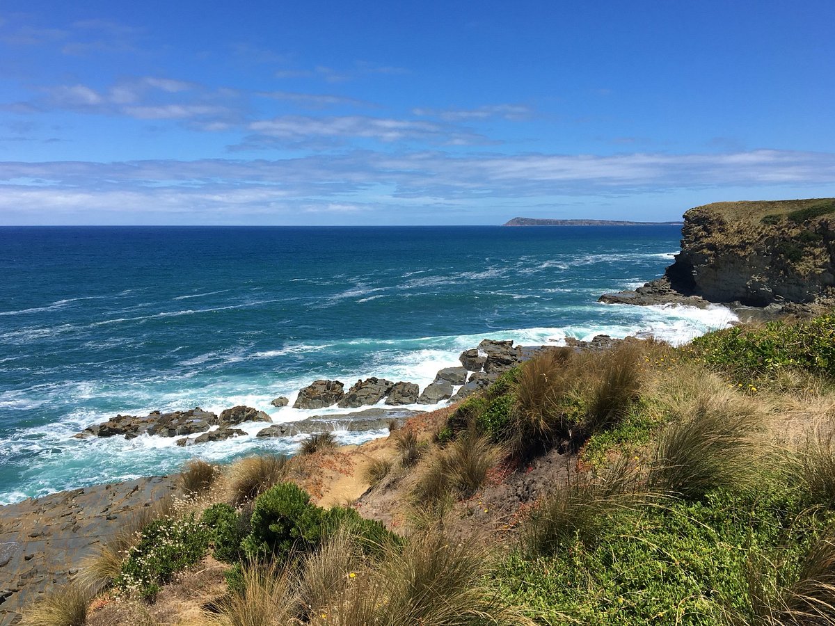
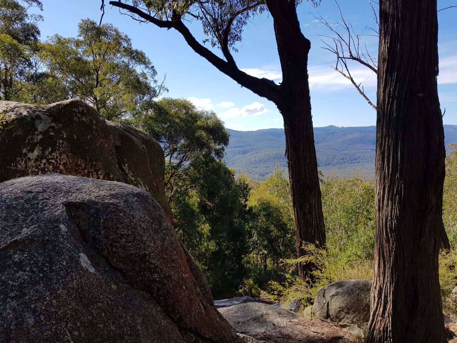
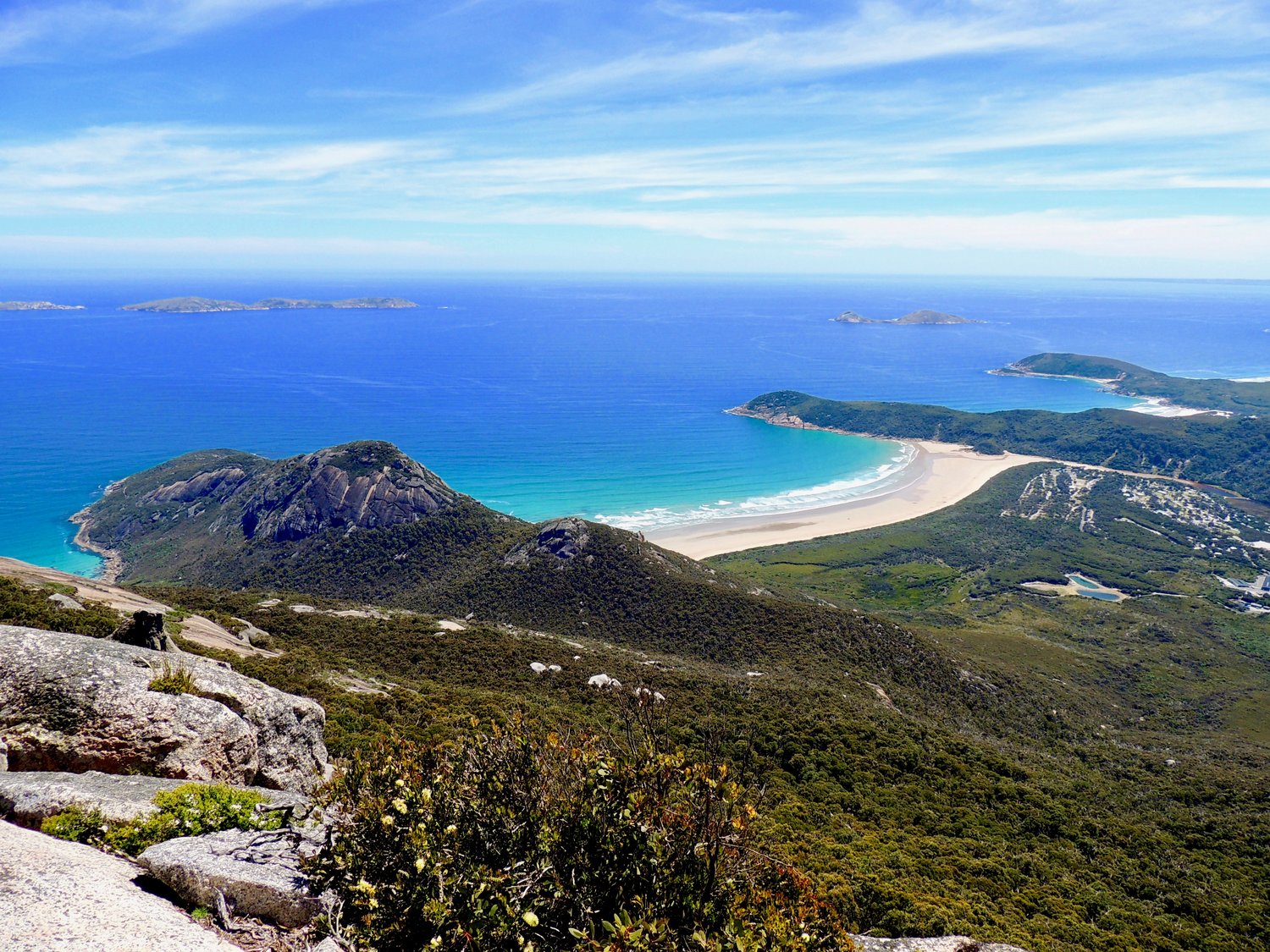
This is a there-and-back trail to Mount Oberon in Wilsons Promontory National Park, Victoria. The track is fairly easy, as it’s mostly a gravel road to the telecommunication tower and then a short trail to the top. The panoramic views at the top are fantastic. The coast and distant islands combined with the beautiful blue of the ocean create an incredible spectacle, which can be even more impressive at sunset or sunrise. The flora and fauna on the way is abundant and well-worth a look.

Already more than 200,000 users!
Uphill
378m
Highest point
528m
Downhill
378m
Lowest point
199m
Route type
There and back
Download the map on your smartphone to save battery and rest assured to always keep access to the route, even without signal.
Includes IGN France and Swisstopo.
I indicate whether dogs are allowed or prohibited on this trail
All year
0 ratings
Also enjoy:

Already more than 200,000 users!