Uphill
643m
Length
11km
Duration
5h
Elev gain
643m
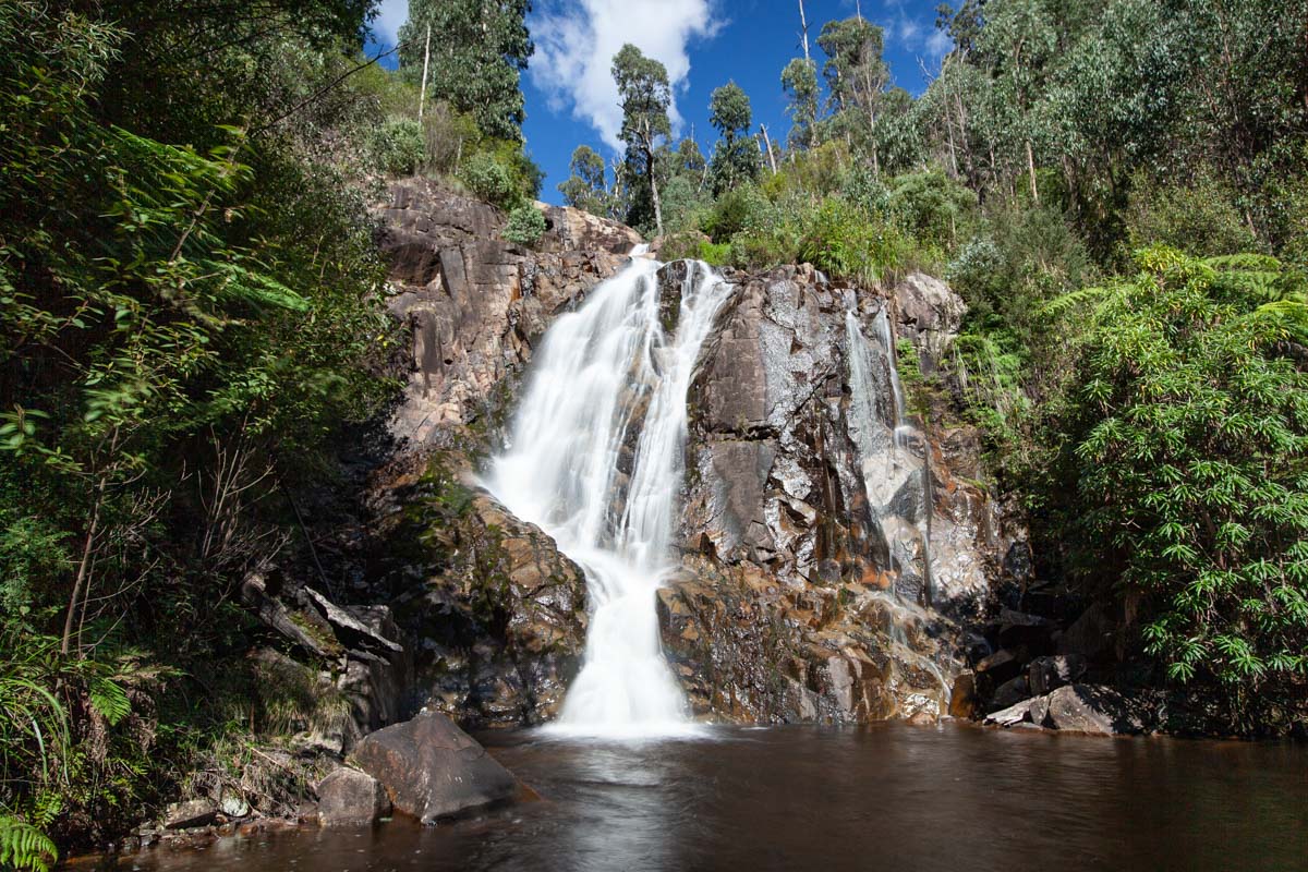
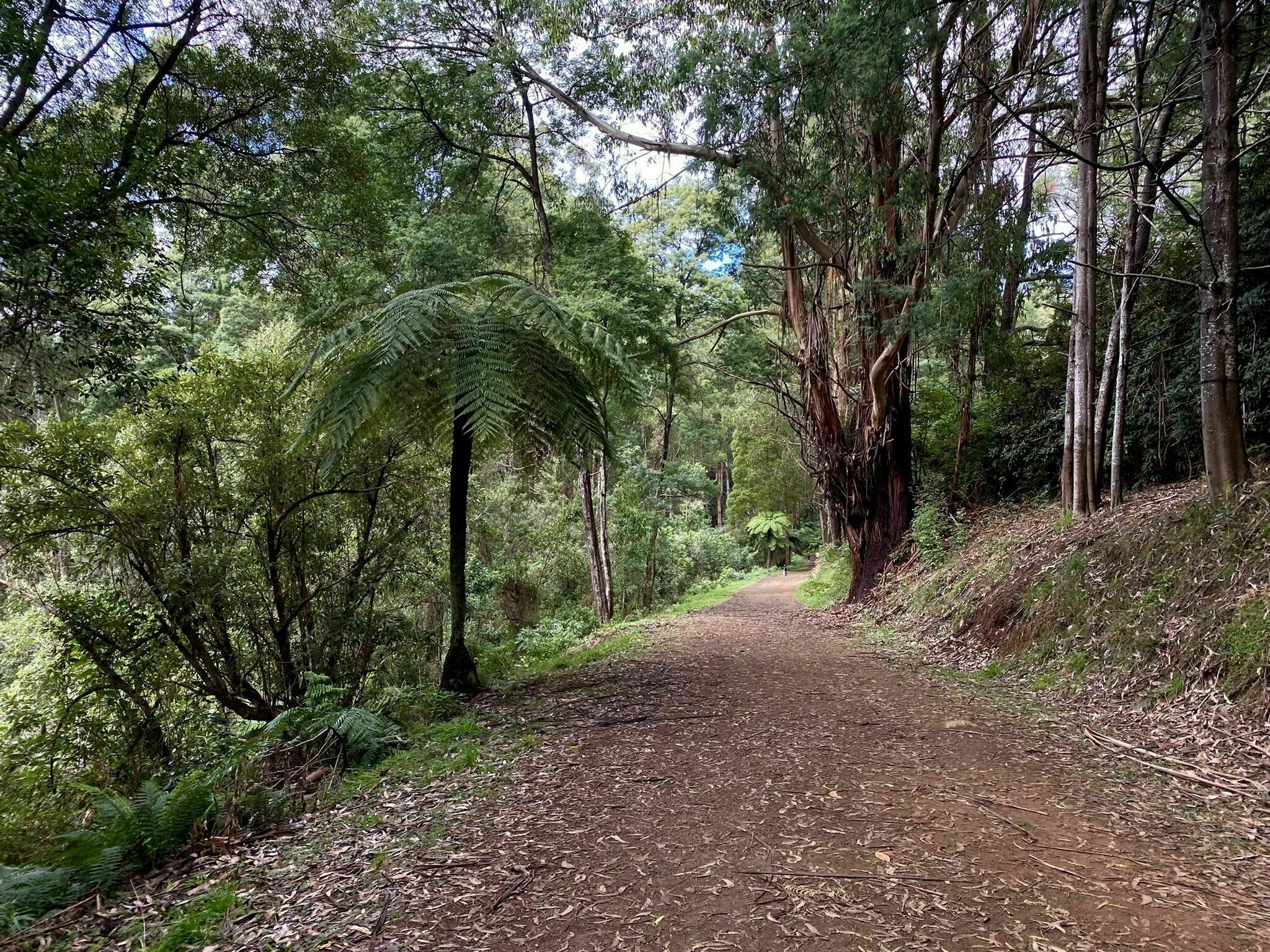
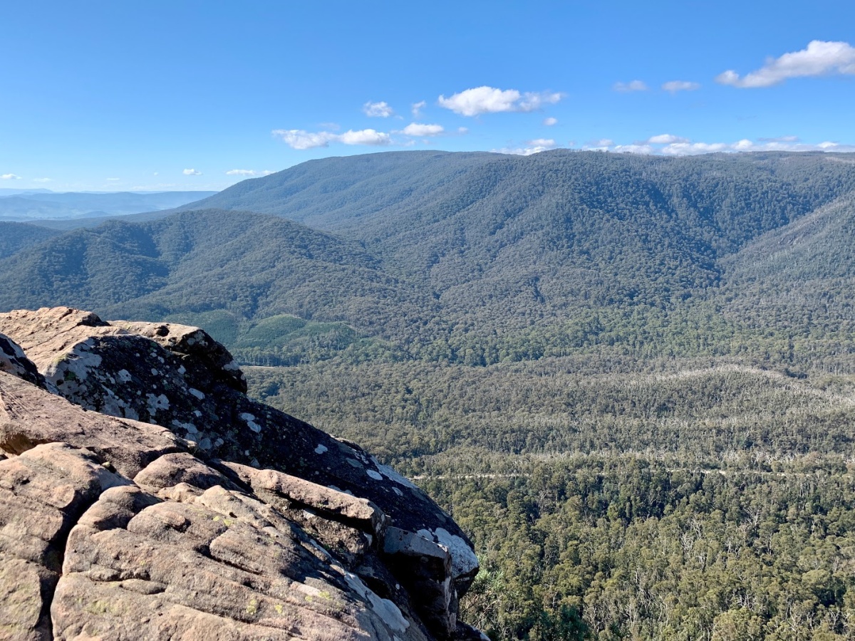
This is a challenging loop to summit Sugarloaf Peak in the Cathedral Range State Park, and then to follow Razorback Ridge Track to South Jawbone Peak. The trail begins with a gradual ascent and then becomes relatively steep. The ridge is rocky but the views are fantastic. This trail combines eucalyptus forests with open far reaching landscapes, a great dose of adventure and a rewarding day hike.

Already more than 200,000 users!
Uphill
643m
Highest point
935m
Downhill
643m
Lowest point
357m
Route type
Loop
Download the map on your smartphone to save battery and rest assured to always keep access to the route, even without signal.
Includes IGN France and Swisstopo.
I indicate whether dogs are allowed or prohibited on this trail
Can be difficult in Winter
0 ratings
Also enjoy:

Already more than 200,000 users!