Uphill
247m
Length
17km
Duration
5h
Elev gain
247m
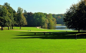
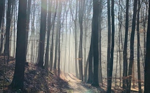
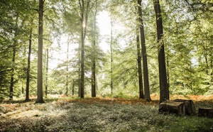
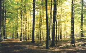
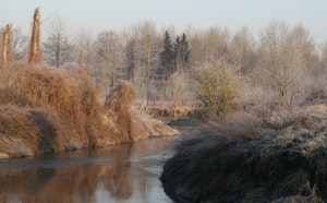
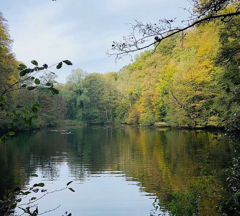
Looking for a great getaway near Brussels? There it is. This long walk makes a superb loop in the heart of the Sonian Forest, a stone's throw from the town. The path passes near a golf course as well as a charming pond, the Fer à Cheval pond, which owes its name to its particular shape.

Already more than 200,000 users!
Uphill
247m
Highest point
135m
Downhill
247m
Lowest point
62m
Route type
Loop
Download the map on your smartphone to save battery and rest assured to always keep access to the route, even without signal.
Includes IGN France and Swisstopo.
I indicate whether dogs are allowed or prohibited on this trail
All year
2 ratings
Also enjoy:

Already more than 200,000 users!