Uphill
65m
Length
8km
Duration
2h
Elev gain
65m
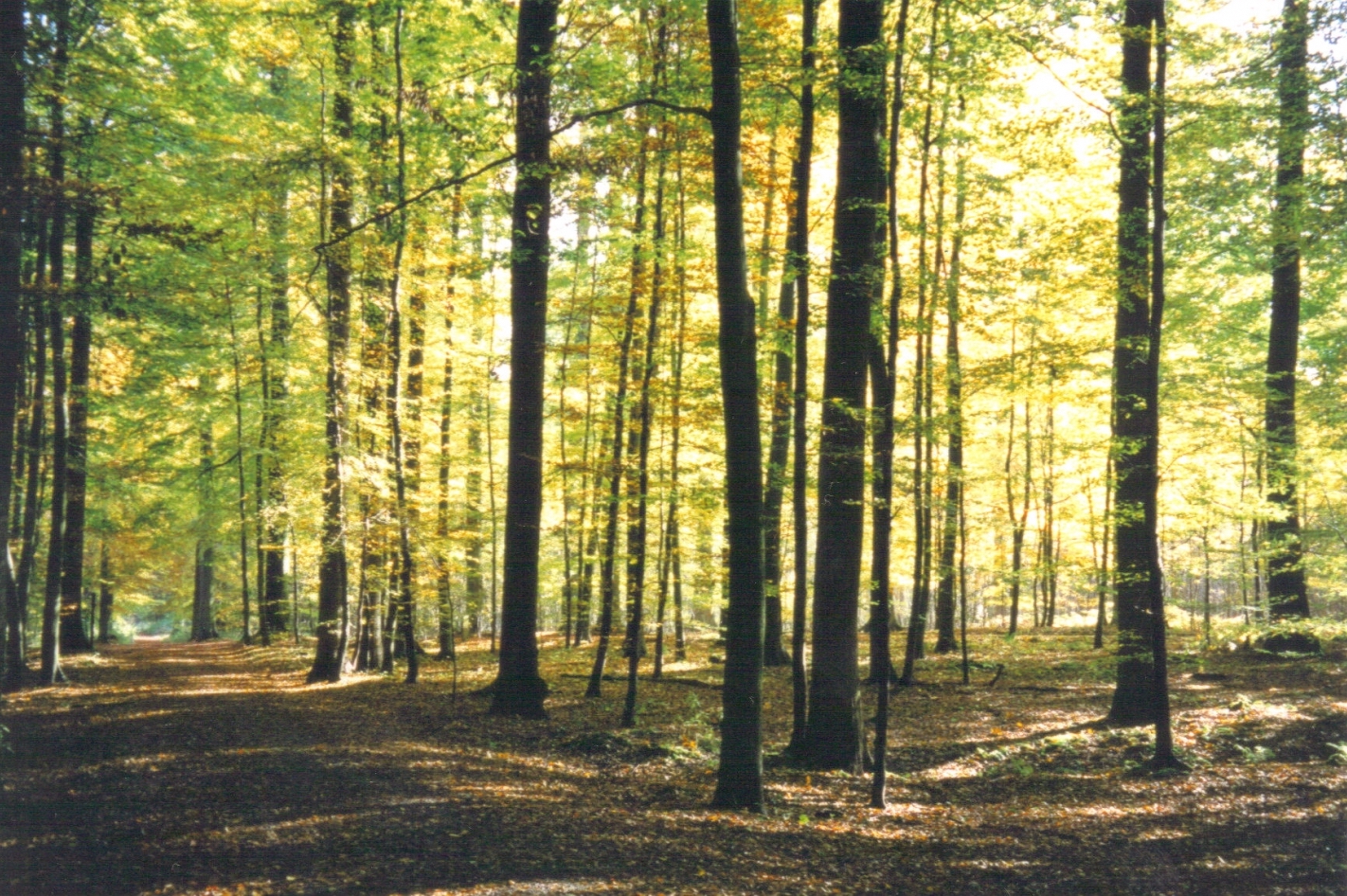
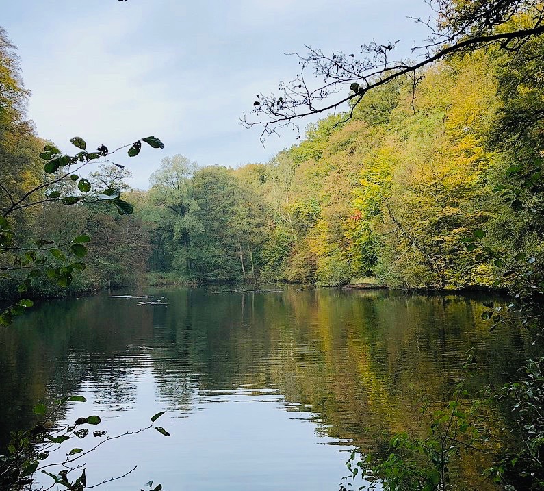
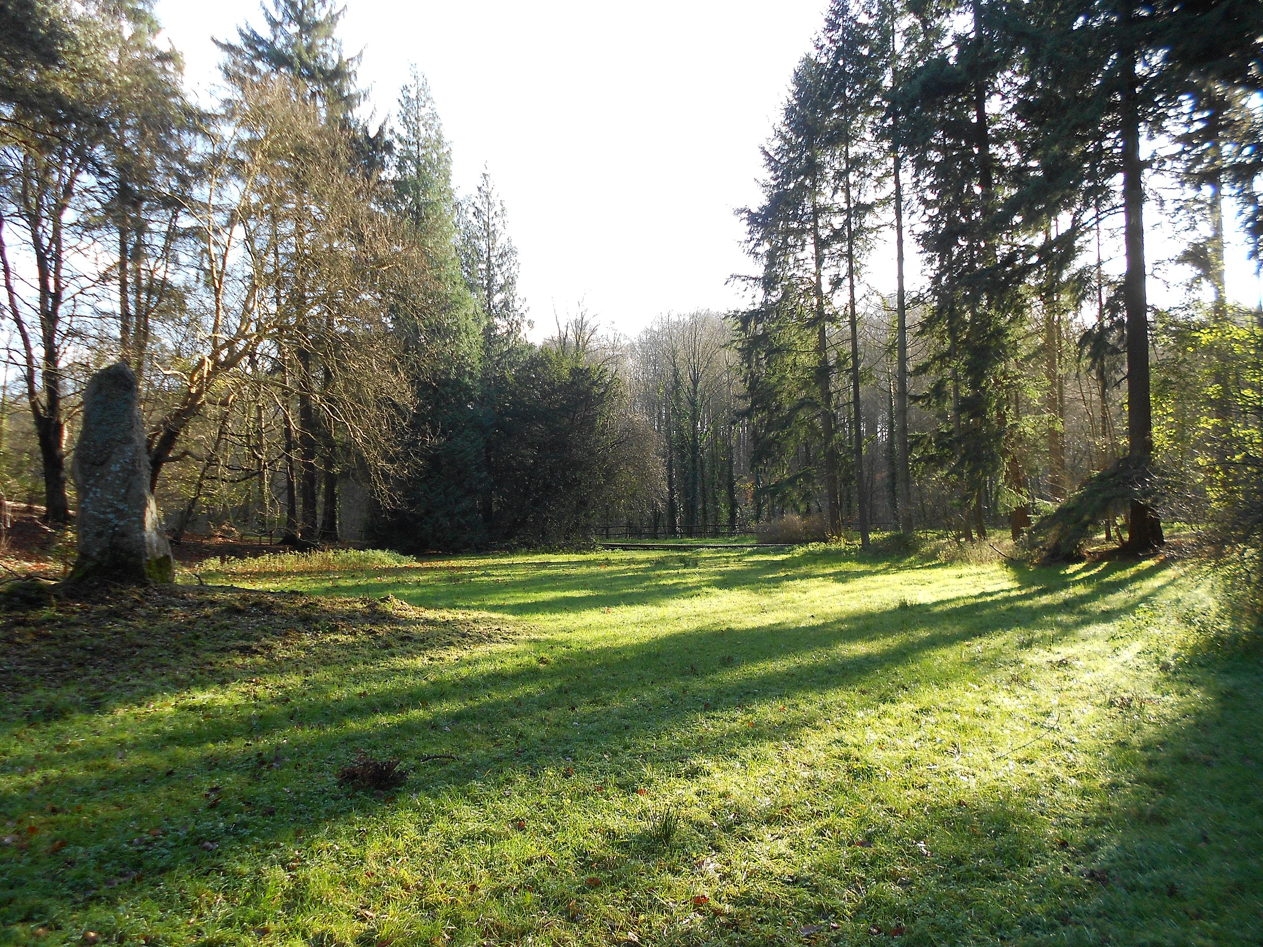
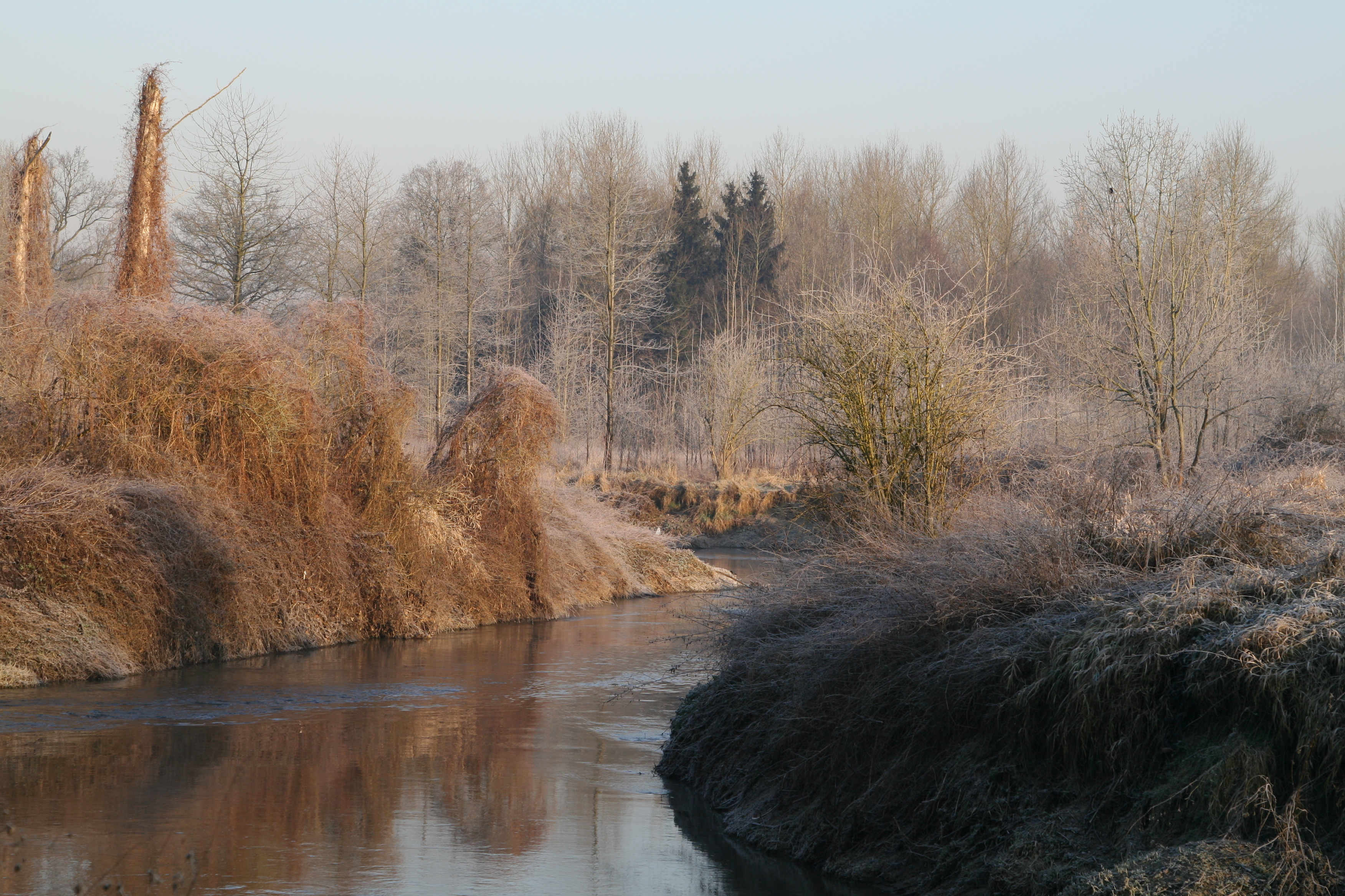
Beautiful hike to the east of Sint-Genesius-Rode, in the charming forest of Soignes. The route makes a loop in the woods, around the IJse, a tributary of the Dyle located in the catchment area of the Scheldt.

Already more than 200,000 users!
Uphill
65m
Highest point
136m
Downhill
65m
Lowest point
104m
Route type
Loop
Download the map on your smartphone to save battery and rest assured to always keep access to the route, even without signal.
Includes IGN France and Swisstopo.
I indicate whether dogs are allowed or prohibited on this trail
All year
5 ratings
Also enjoy:

Already more than 200,000 users!