Uphill
98m
Length
11km
Duration
3h
Elev gain
98m
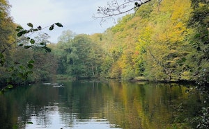
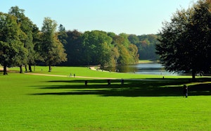
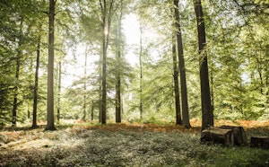
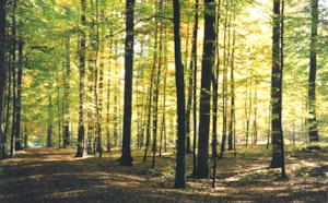
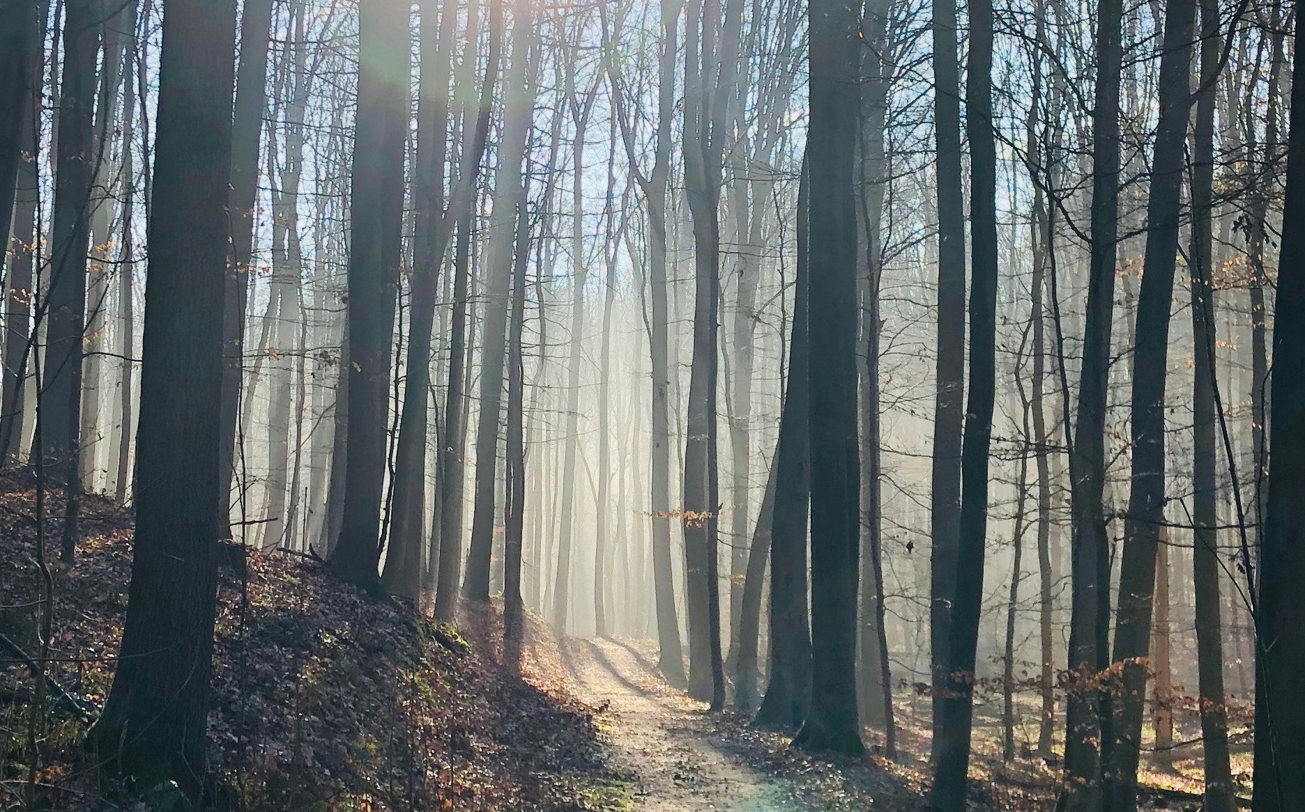
Located south-east of Brussels, this walk takes place in the charming Sonian Forest. The route makes a beautiful loop in the undergrowth typical of the region.

Already more than 200,000 users!
Uphill
98m
Highest point
139m
Downhill
98m
Lowest point
97m
Route type
Loop
Download the map on your smartphone to save battery and rest assured to always keep access to the route, even without signal.
Includes IGN France and Swisstopo.
I indicate whether dogs are allowed or prohibited on this trail
All year
4 ratings
Also enjoy:

Already more than 200,000 users!