Uphill
200m
Length
9km
Duration
3h
Elev gain
200m
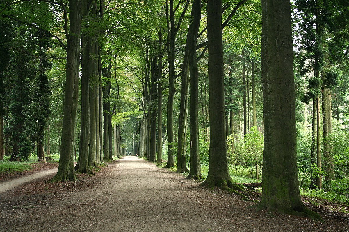
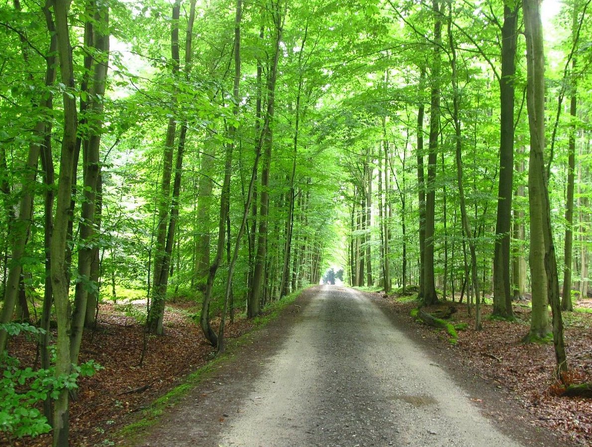
It is very close to Brussels, in the forest of Soignes that this walk takes place. The course makes a nice loop in the undergrowth, on unfrequented natural and wild paths, all two minutes from the city.

Already more than 200,000 users!
Uphill
200m
Highest point
124m
Downhill
200m
Lowest point
55m
Route type
Loop
Download the map on your smartphone to save battery and rest assured to always keep access to the route, even without signal.
Includes IGN France and Swisstopo.
I indicate whether dogs are allowed or prohibited on this trail
All year
4 ratings
Also enjoy:

Already more than 200,000 users!