Uphill
6m
Length
3km
Duration
30min
Elev gain
6m
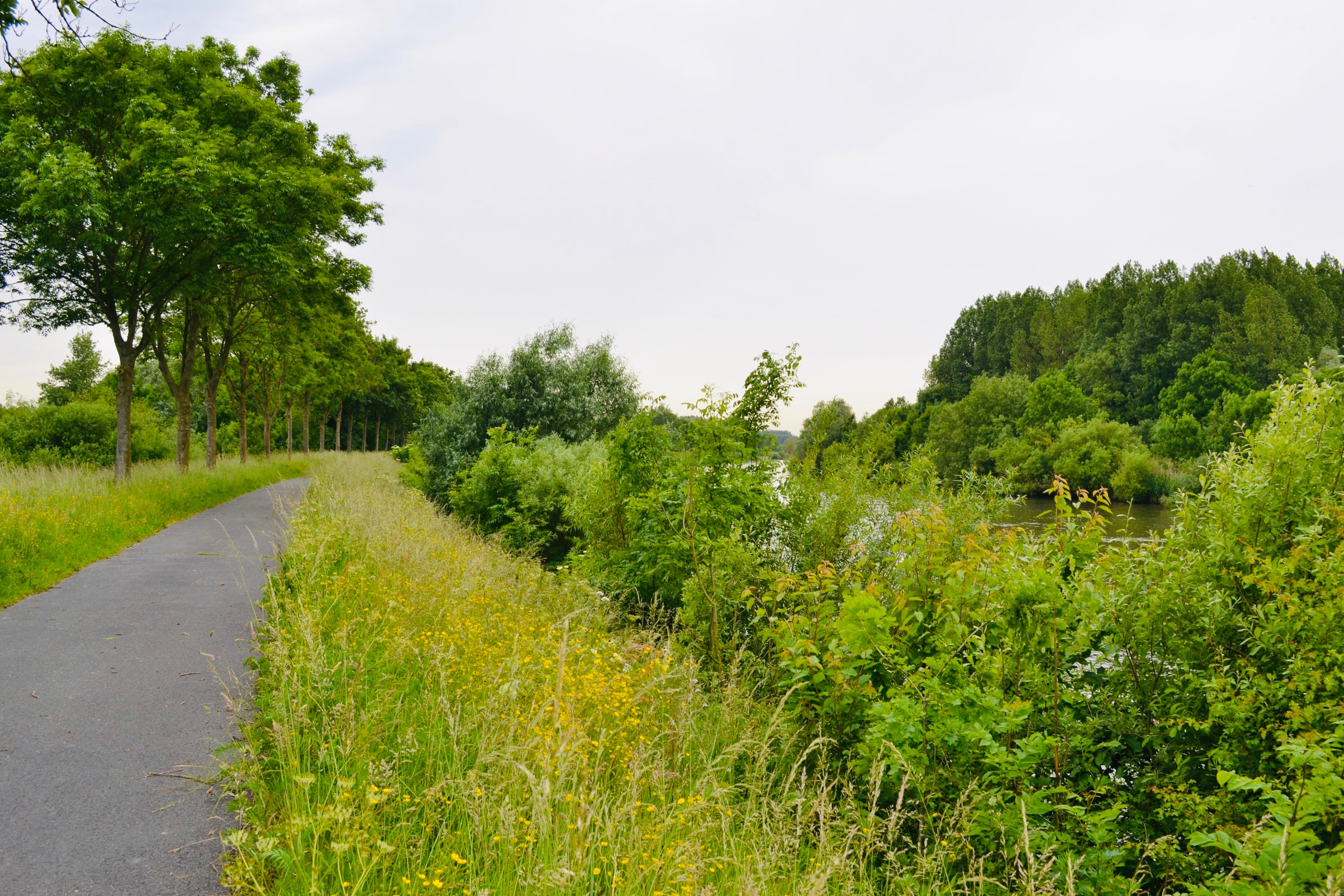
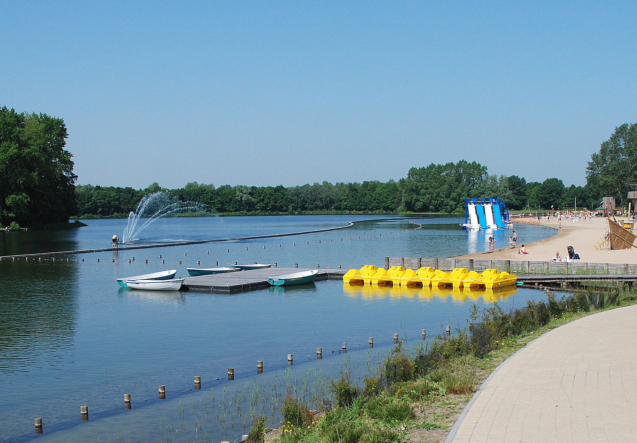
Nice family outing near Ghent. The route goes around the Blaarmeersen estate, located along the ring canal, the Lys and the Watersportbaan.

Already more than 200,000 users!
Uphill
6m
Highest point
13m
Downhill
6m
Lowest point
5m
Route type
Loop
Download the map on your smartphone to save battery and rest assured to always keep access to the route, even without signal.
Includes IGN France and Swisstopo.
I indicate whether dogs are allowed or prohibited on this trail
All year
0 ratings
Also enjoy:

Already more than 200,000 users!