Uphill
70m
Length
13km
Duration
3h30min
Elev gain
70m
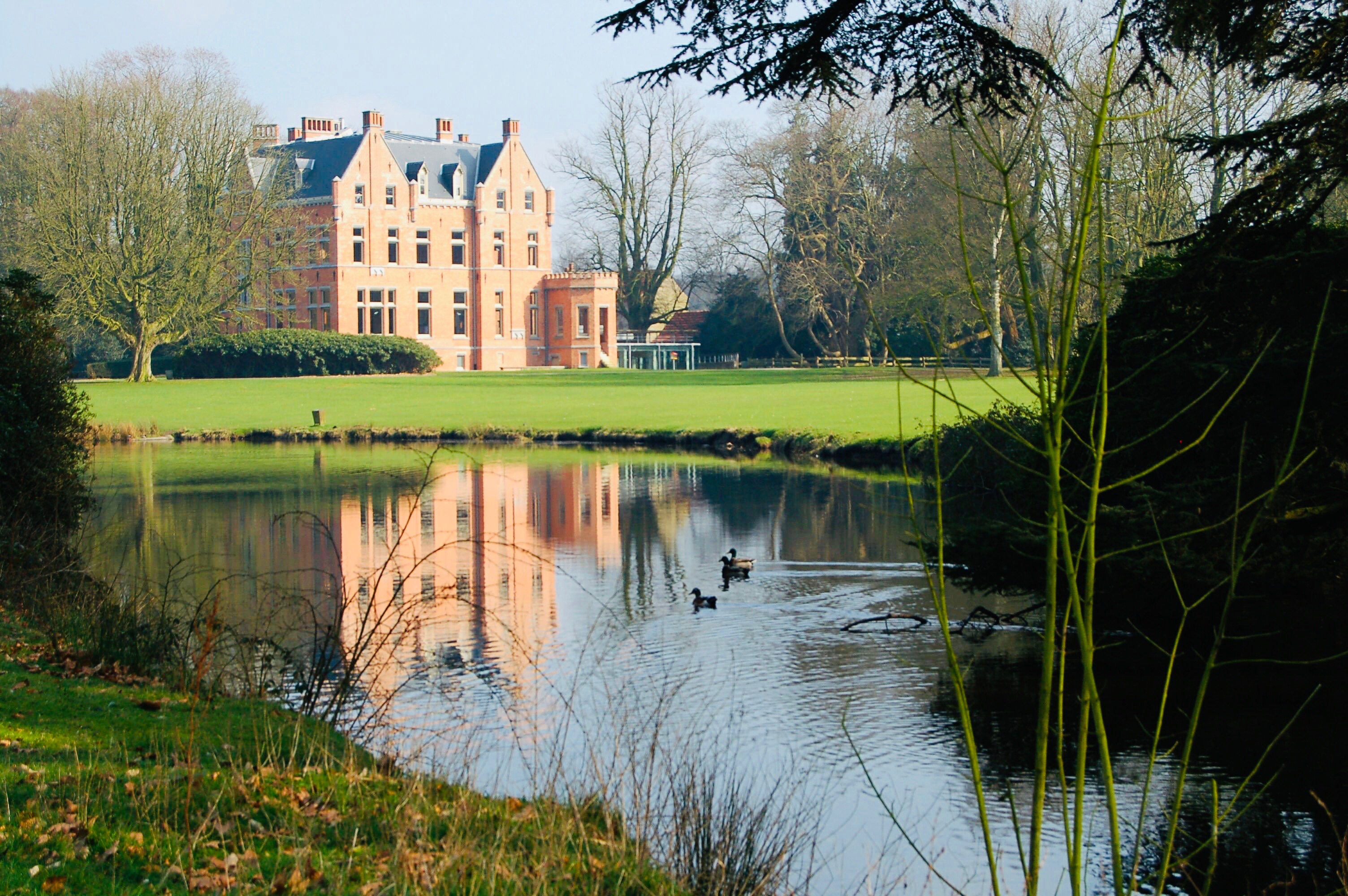
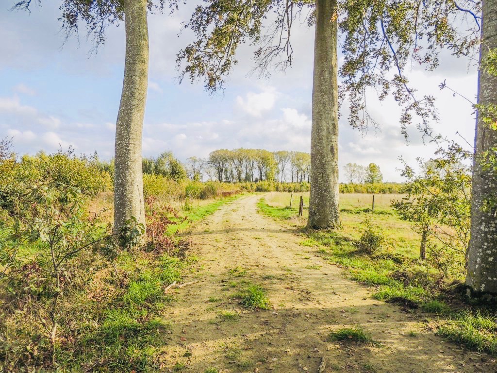
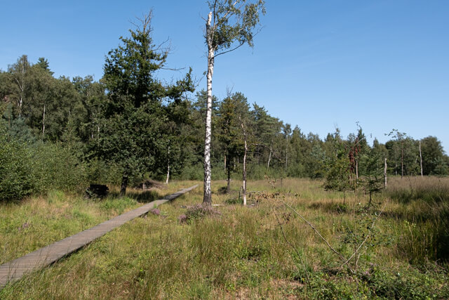
Nice hike in the woods of Drongengoed, in Knesselare-Maldegem. The route makes a loop between forests and small meadows.
Note that the trail can be muddy depending on the time of year.

Already more than 200,000 users!
Uphill
70m
Highest point
43m
Downhill
70m
Lowest point
8m
Route type
Loop
Download the map on your smartphone to save battery and rest assured to always keep access to the route, even without signal.
Includes IGN France and Swisstopo.
I indicate whether dogs are allowed or prohibited on this trail
All year
1 rating
Also enjoy:

Already more than 200,000 users!