Uphill
128m
Length
9km
Duration
2h30min
Elev gain
128m
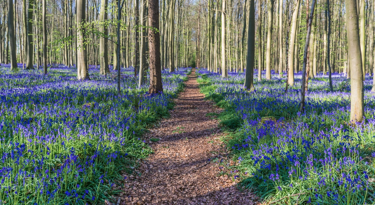
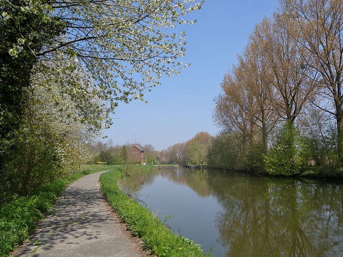
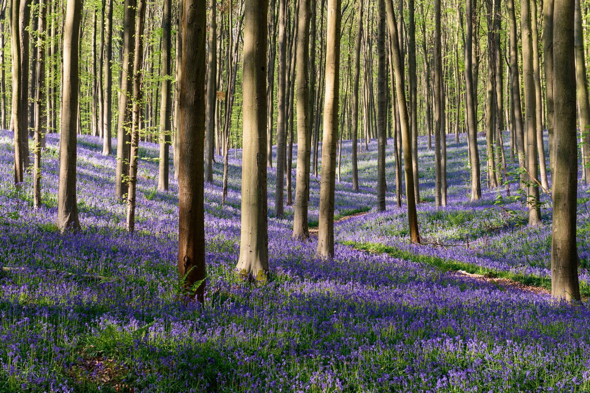
Here is an essential hike in the heart of the Hallerbos, where several circuits are possible. This route makes a nice loop through the woods, which turn blue when the hyacinths bloom.

Already more than 200,000 users!
Uphill
128m
Highest point
138m
Downhill
128m
Lowest point
72m
Route type
Loop
Download the map on your smartphone to save battery and rest assured to always keep access to the route, even without signal.
Includes IGN France and Swisstopo.
I indicate whether dogs are allowed or prohibited on this trail
All year
3 ratings
Also enjoy:

Already more than 200,000 users!