Uphill
284m
Length
15km
Duration
4h30min
Elev gain
284m
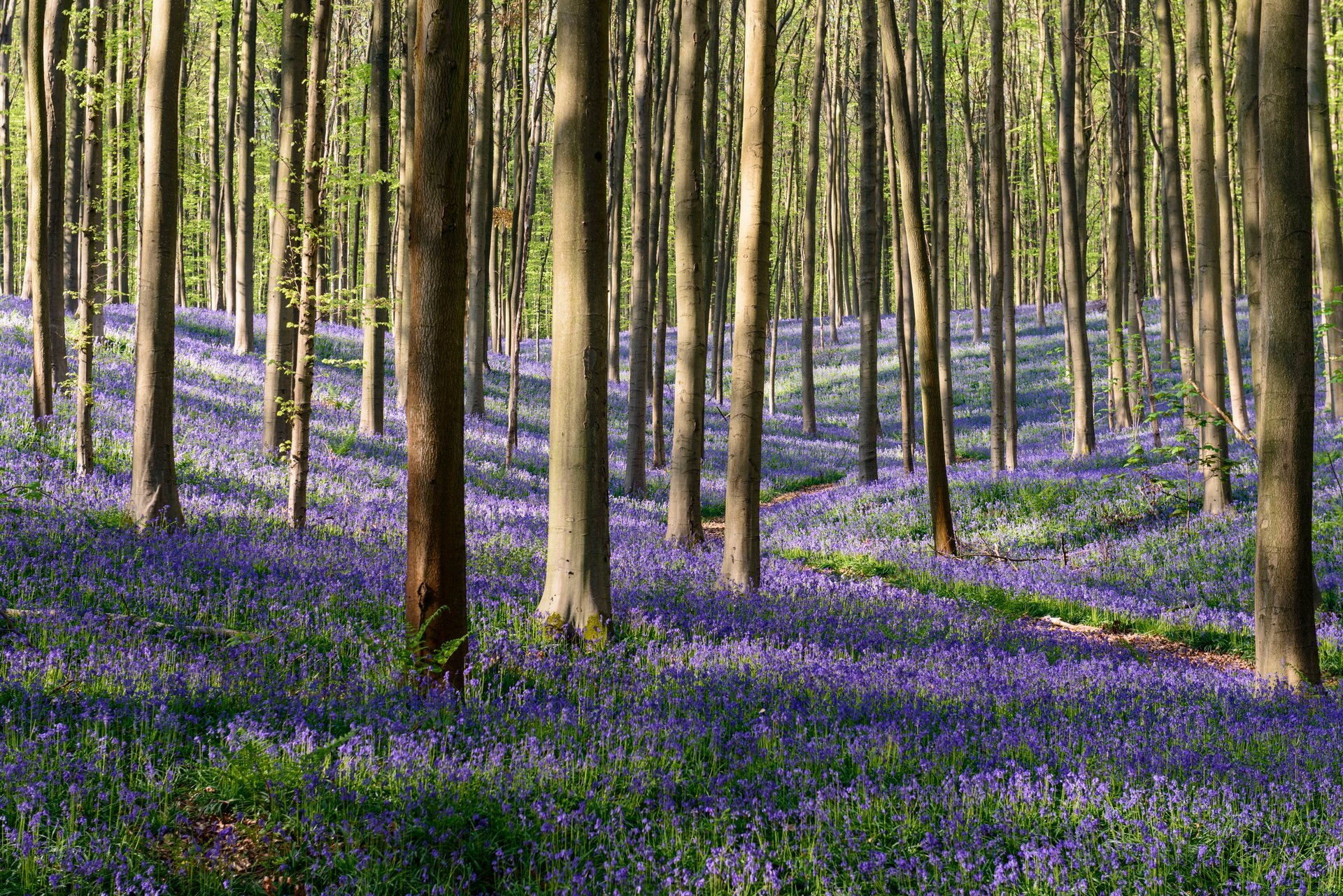
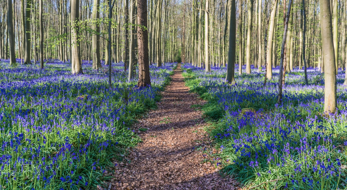
It is in the very beautiful Hallerbos, known for its bluebells, that this long hike takes place. The course makes a loop in the undergrowth, in a calm and peaceful forest, on an essentially flat path.

Already more than 200,000 users!
Uphill
284m
Highest point
138m
Downhill
284m
Lowest point
59m
Route type
Loop
Download the map on your smartphone to save battery and rest assured to always keep access to the route, even without signal.
Includes IGN France and Swisstopo.
I indicate whether dogs are allowed or prohibited on this trail
All year
2 ratings
Also enjoy:

Already more than 200,000 users!