Uphill
290m
Length
10km
Duration
3h30min
Elev gain
290m
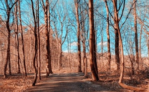
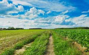
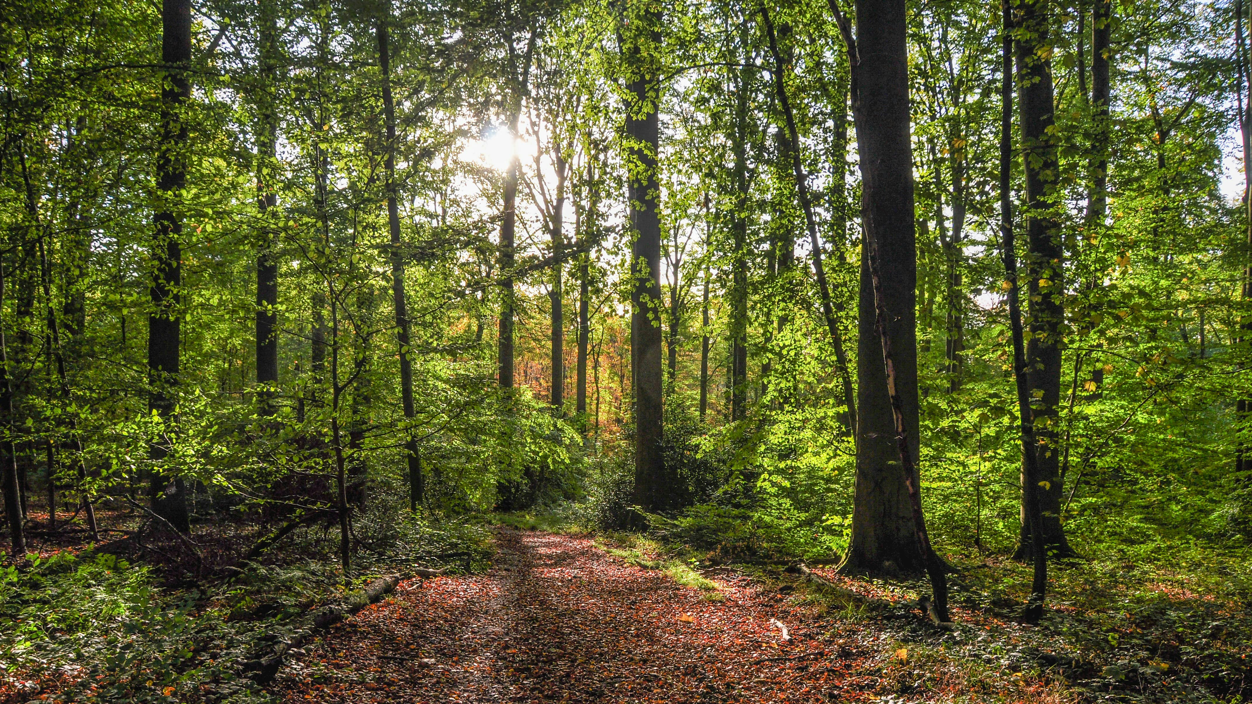
Nice hike in the forest south of Oud-Heverlee. The course winds through the woods, in a calm and wild environment.

Already more than 200,000 users!
Uphill
290m
Highest point
107m
Downhill
290m
Lowest point
32m
Route type
Loop
Download the map on your smartphone to save battery and rest assured to always keep access to the route, even without signal.
Includes IGN France and Swisstopo.
I indicate whether dogs are allowed or prohibited on this trail
All year
0 ratings
Also enjoy:

Already more than 200,000 users!