Uphill
272m
Length
11km
Duration
3h30min
Elev gain
272m
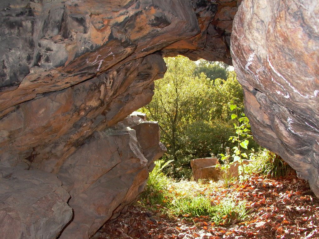
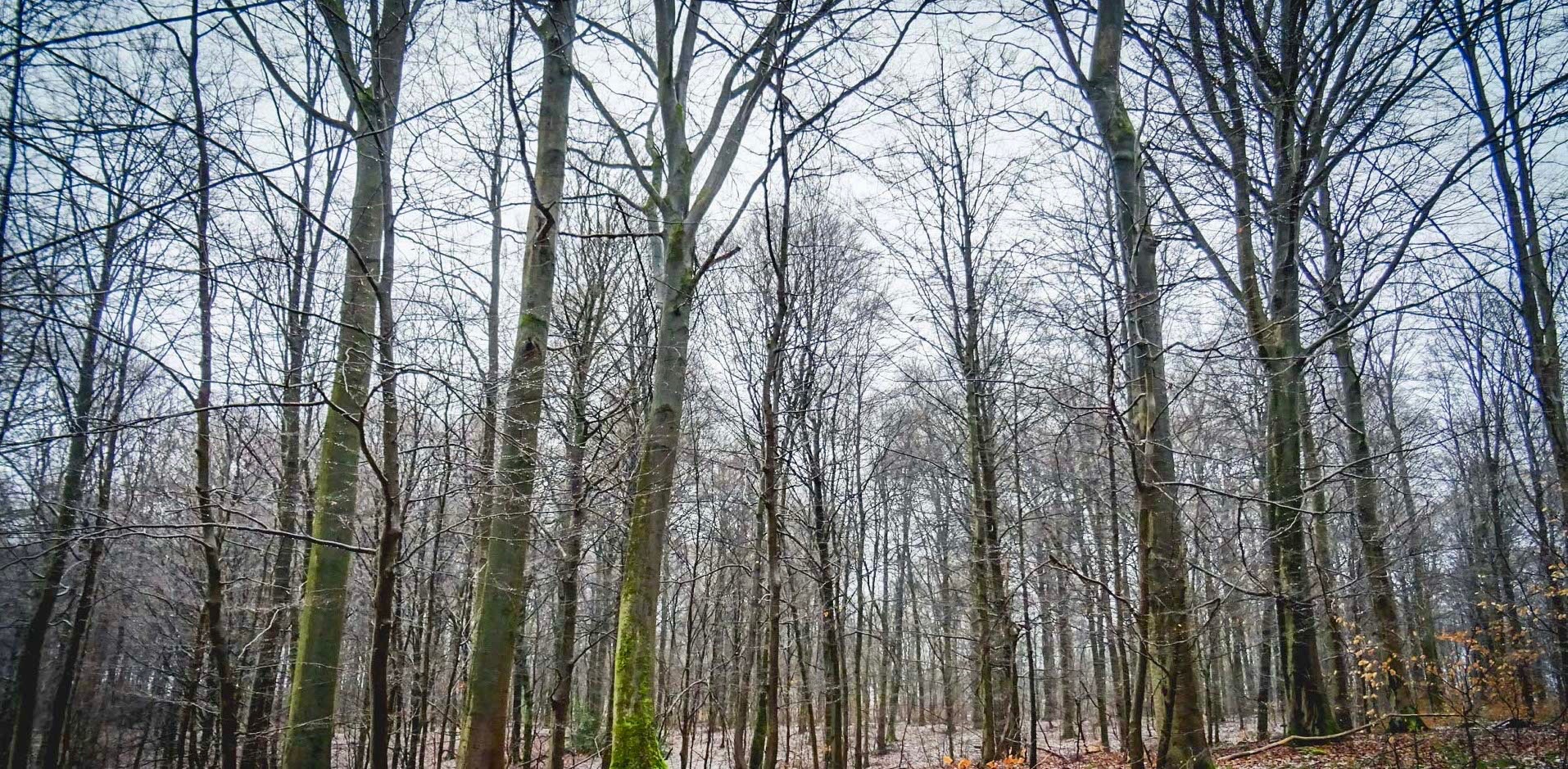
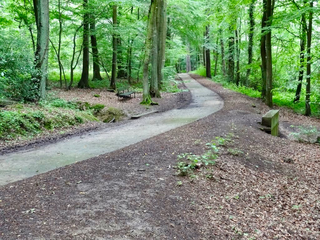
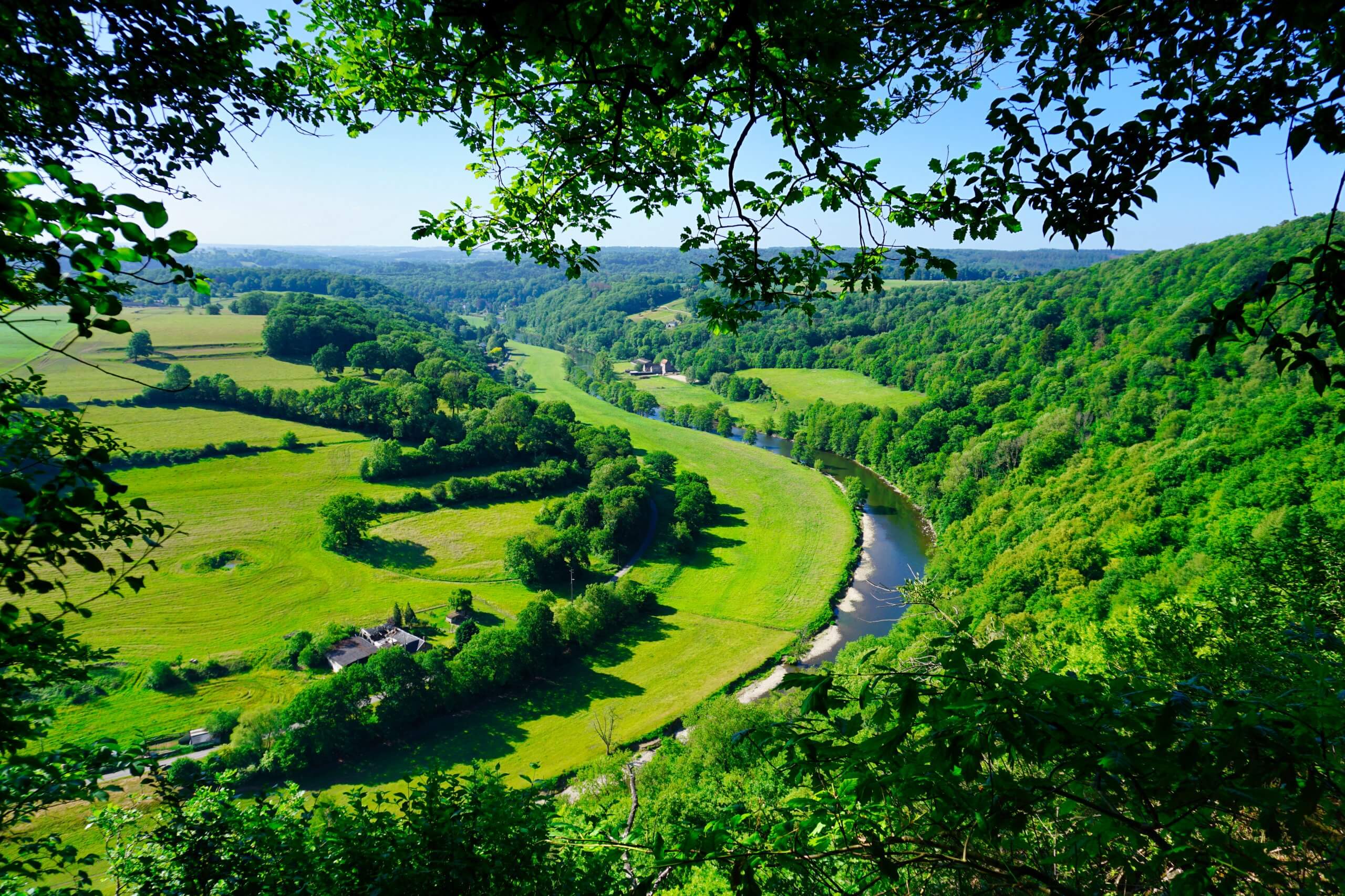
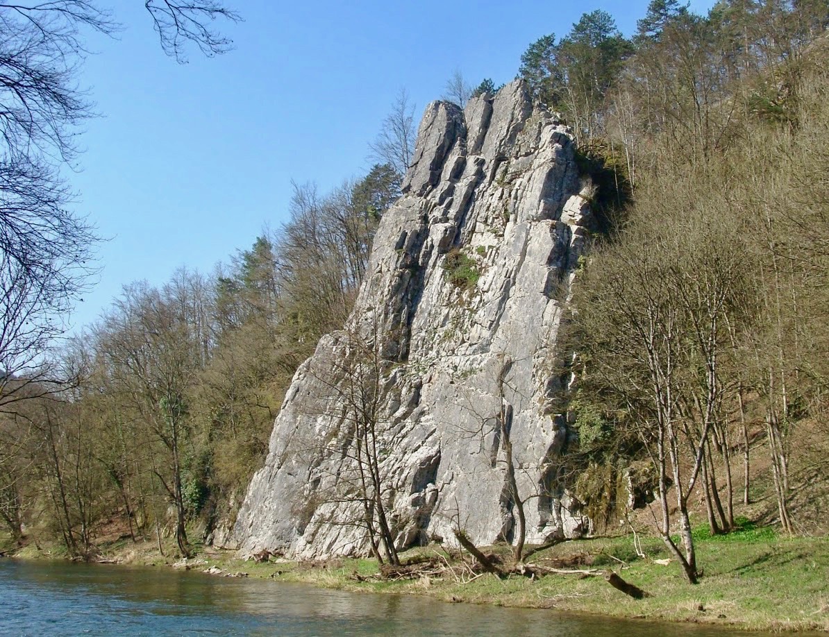
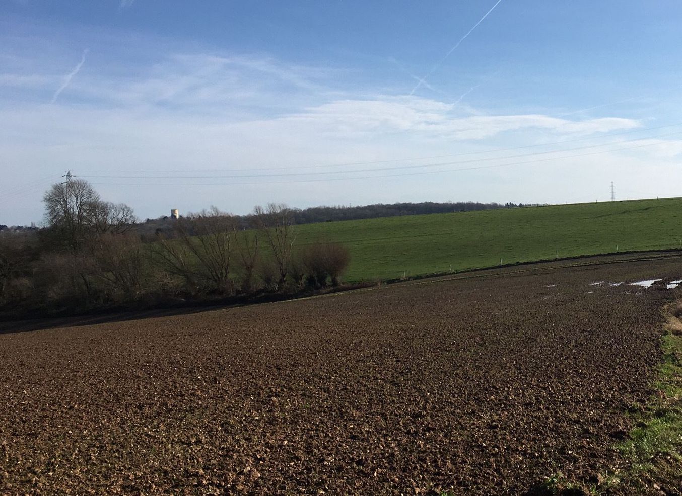
Located south of the village of Amay, this hike is not lacking in charm. The route makes a loop in the heart of a beautiful wooded nature, on a well marked path and rich in information panels concerning the surrounding fauna and flora. In a word: superb!

Already more than 200,000 users!
Uphill
272m
Highest point
244m
Downhill
272m
Lowest point
113m
Route type
Loop
Download the map on your smartphone to save battery and rest assured to always keep access to the route, even without signal.
Includes IGN France and Swisstopo.
I indicate whether dogs are allowed or prohibited on this trail
All year
2 ratings
Une chasse était organisée ce jour… et tous les accès interdits!
Dommage d’avoir fait tant de km pour marcher moins de 5 minutes.
Also enjoy:

Already more than 200,000 users!