Uphill
128m
Length
5km
Duration
1h30min
Elev gain
128m
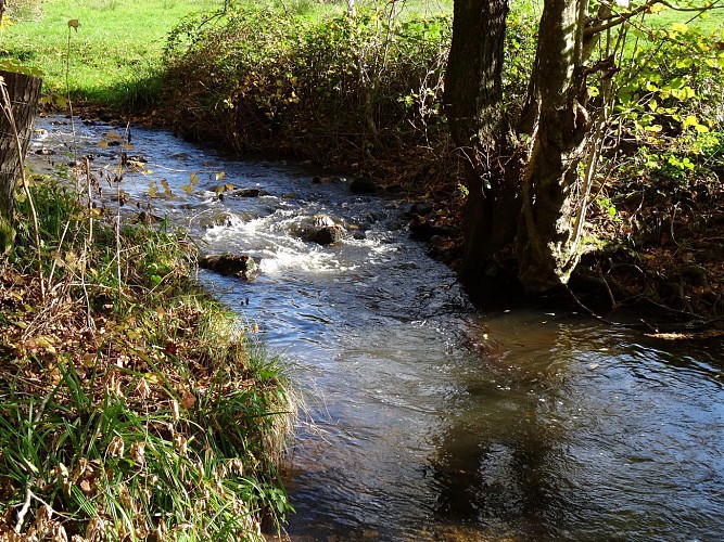
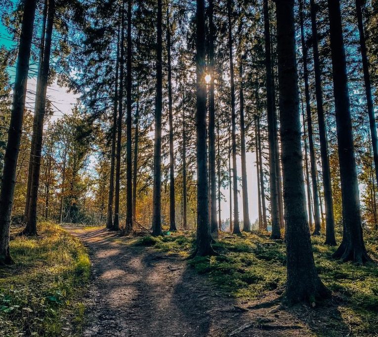
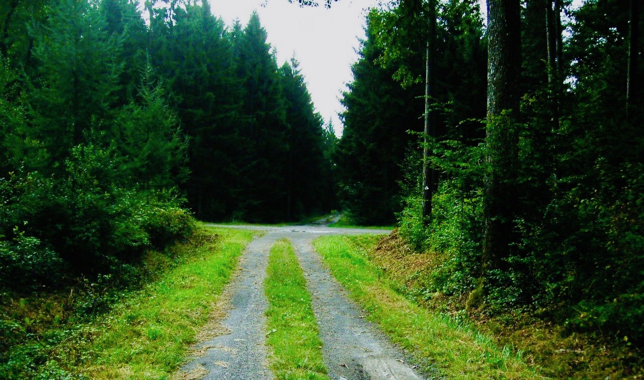
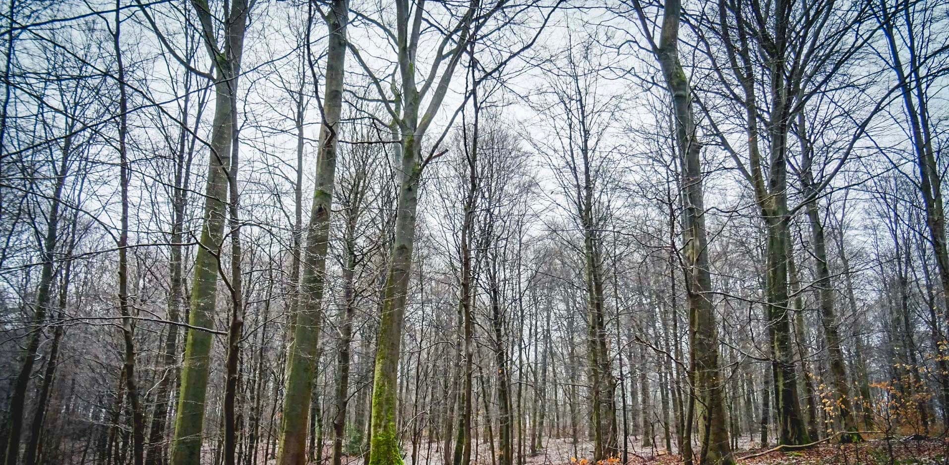
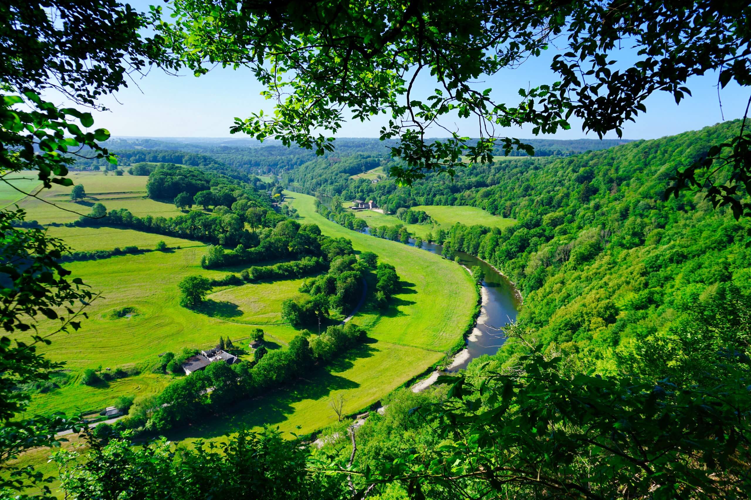
Very nice physical and spectacular hike at first, then quiet and peaceful on the second part. After climbing, we enjoy superb views of the Ourthe valley and its surroundings, then we continue on the path to close this magnificent loop route.

Already more than 200,000 users!
Uphill
128m
Highest point
221m
Downhill
128m
Lowest point
115m
Route type
Loop
Download the map on your smartphone to save battery and rest assured to always keep access to the route, even without signal.
Includes IGN France and Swisstopo.
I indicate whether dogs are allowed or prohibited on this trail
All year
3 ratings
Also enjoy:

Already more than 200,000 users!