Uphill
131m
Length
5km
Duration
1h30min
Elev gain
131m
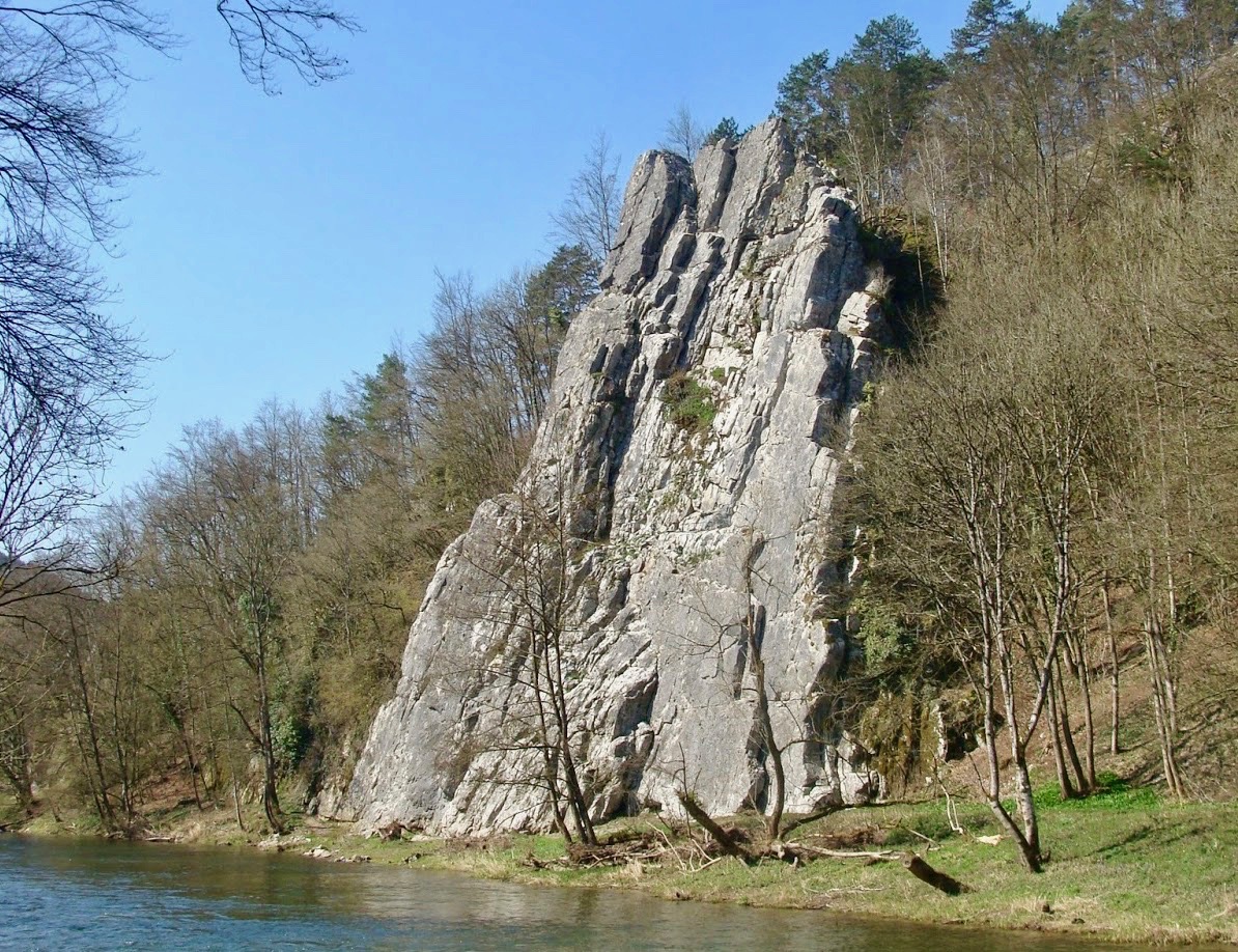
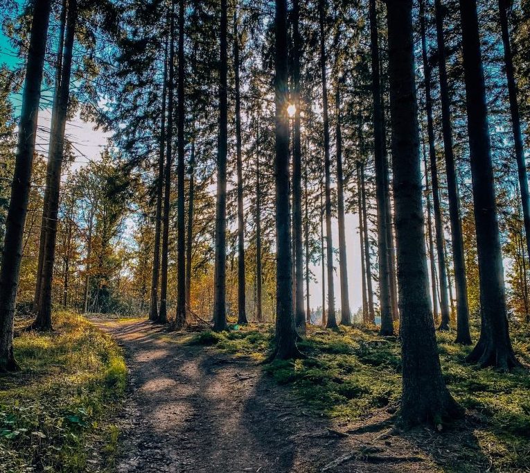
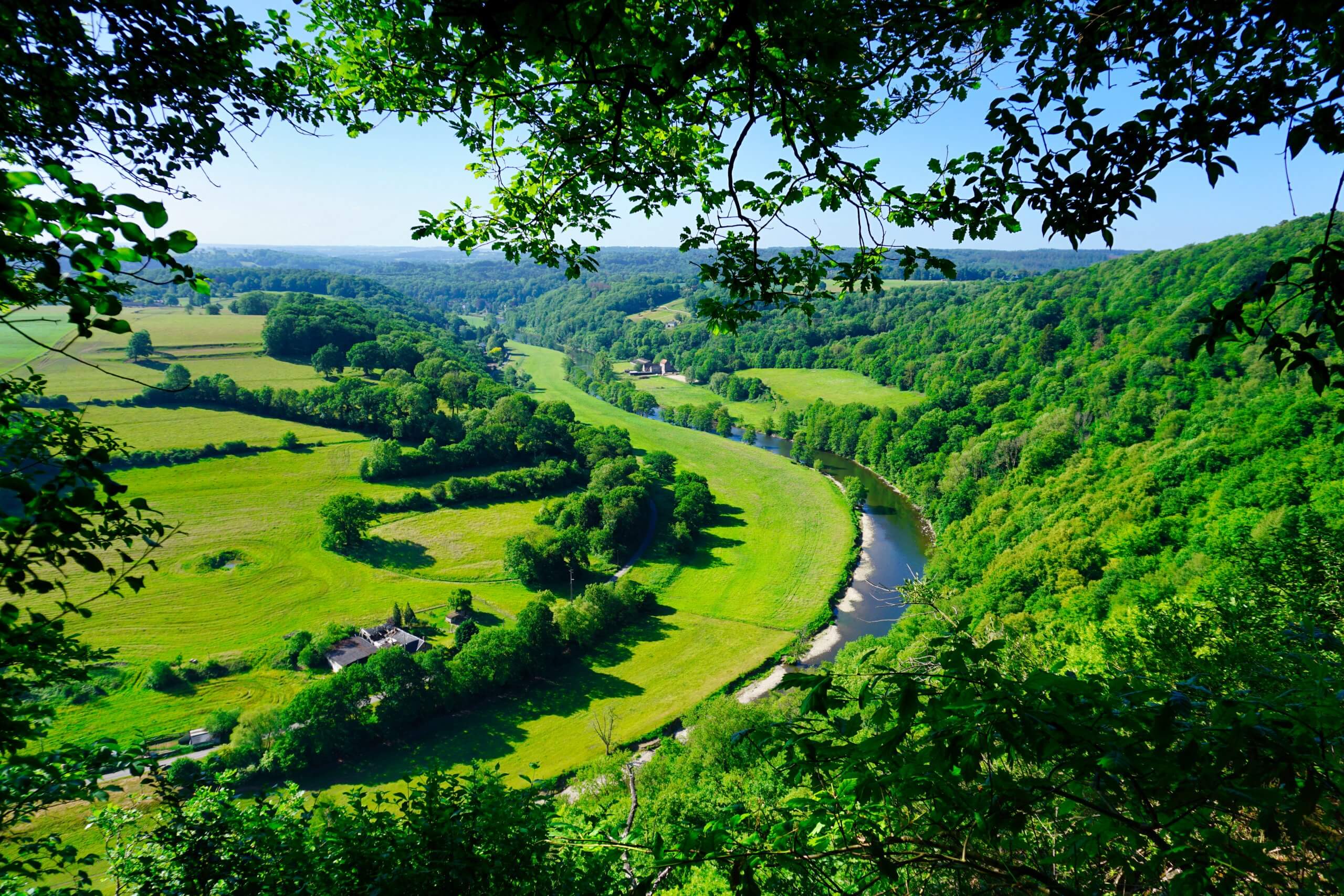
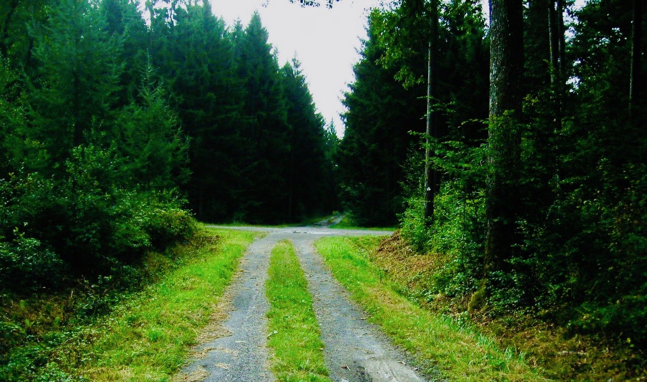
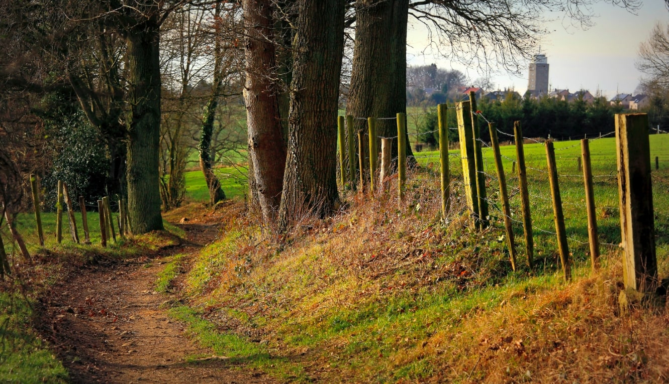
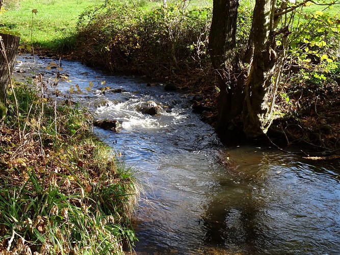
Here is a short family outing near Izier, in the province of Luxembourg. The route makes a loop in a beautiful place full of surprises, between small lakes, streams, bridges and pretty trees.

Already more than 200,000 users!
Uphill
131m
Highest point
330m
Downhill
131m
Lowest point
213m
Route type
Loop
Download the map on your smartphone to save battery and rest assured to always keep access to the route, even without signal.
Includes IGN France and Swisstopo.
I indicate whether dogs are allowed or prohibited on this trail
All year
4 ratings
Also enjoy:

Already more than 200,000 users!