Uphill
148m
Length
8km
Duration
2h30min
Elev gain
148m
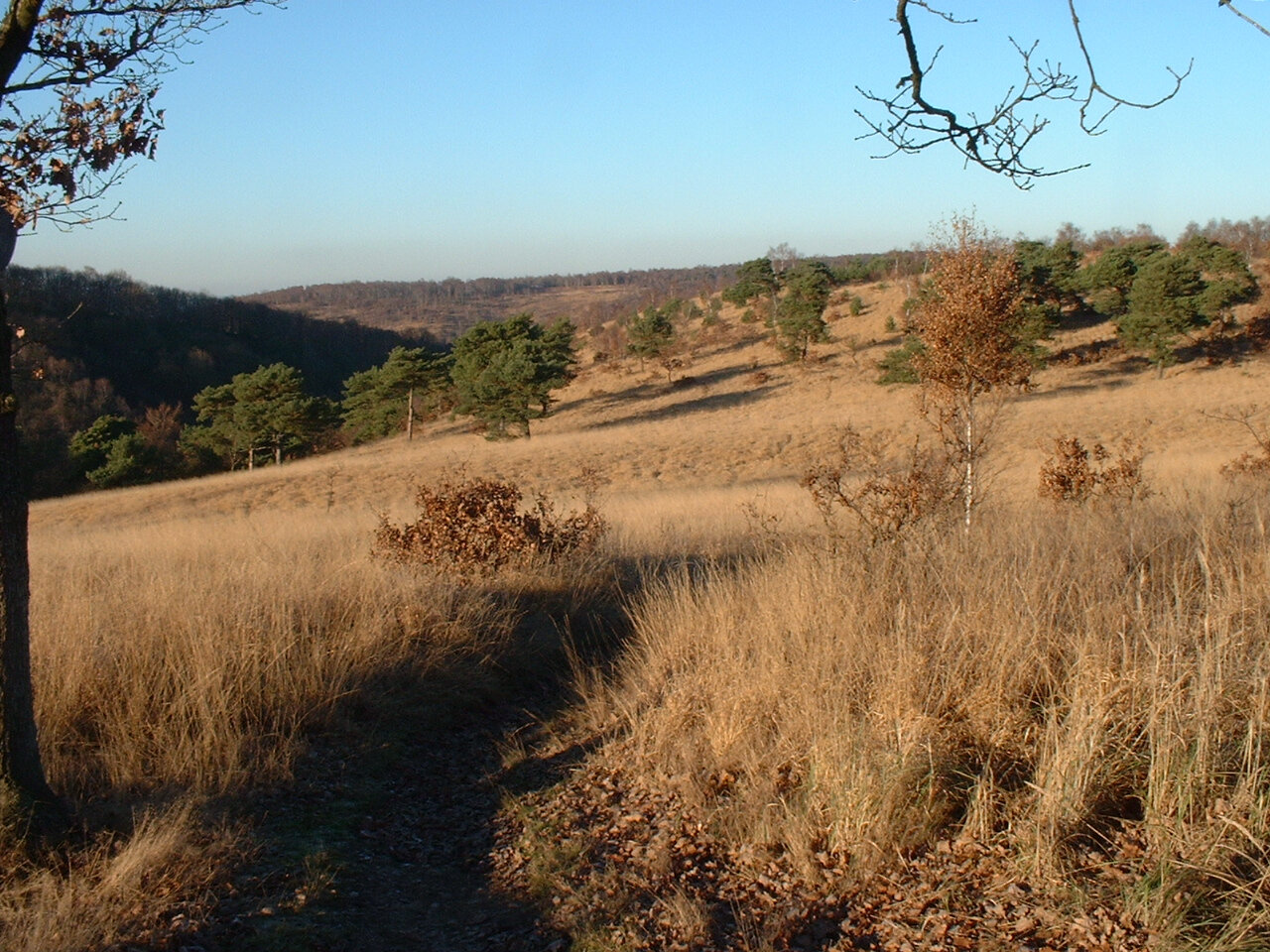
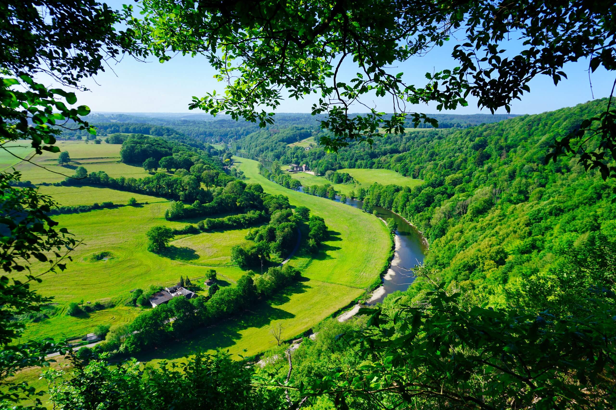
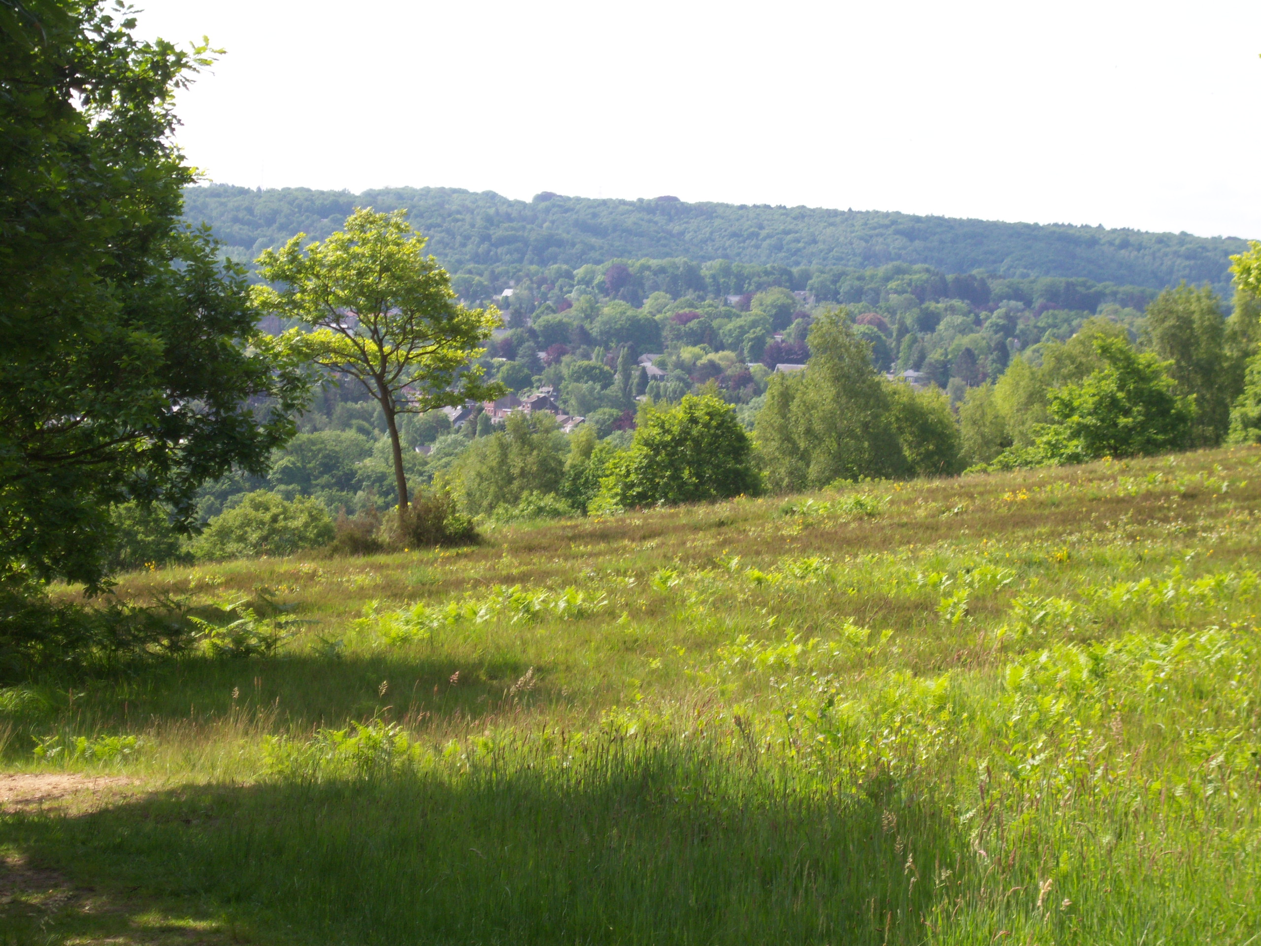
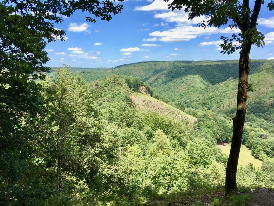
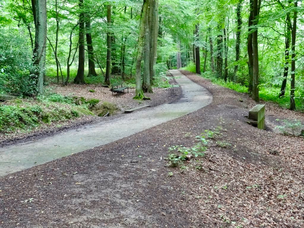
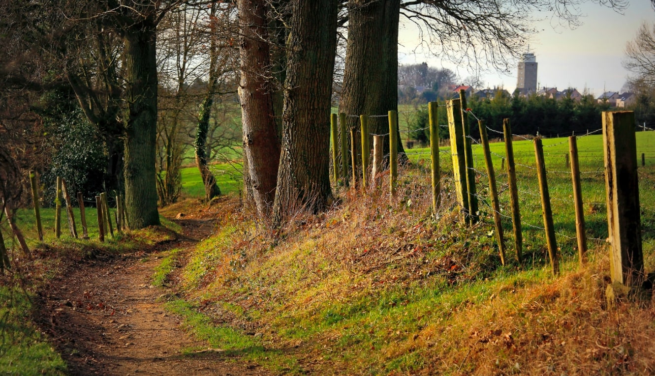
Starting from the equestrian center of Dolembreux, this path makes a loop around Wachiboux, between meadows and woods, and also presents some stream crossings with small bridges.

Already more than 200,000 users!
Uphill
148m
Highest point
267m
Downhill
148m
Lowest point
196m
Route type
Loop
Download the map on your smartphone to save battery and rest assured to always keep access to the route, even without signal.
Includes IGN France and Swisstopo.
I indicate whether dogs are allowed or prohibited on this trail
All year
4 ratings
Also enjoy:

Already more than 200,000 users!