Uphill
255m
Length
10km
Duration
3h
Elev gain
255m
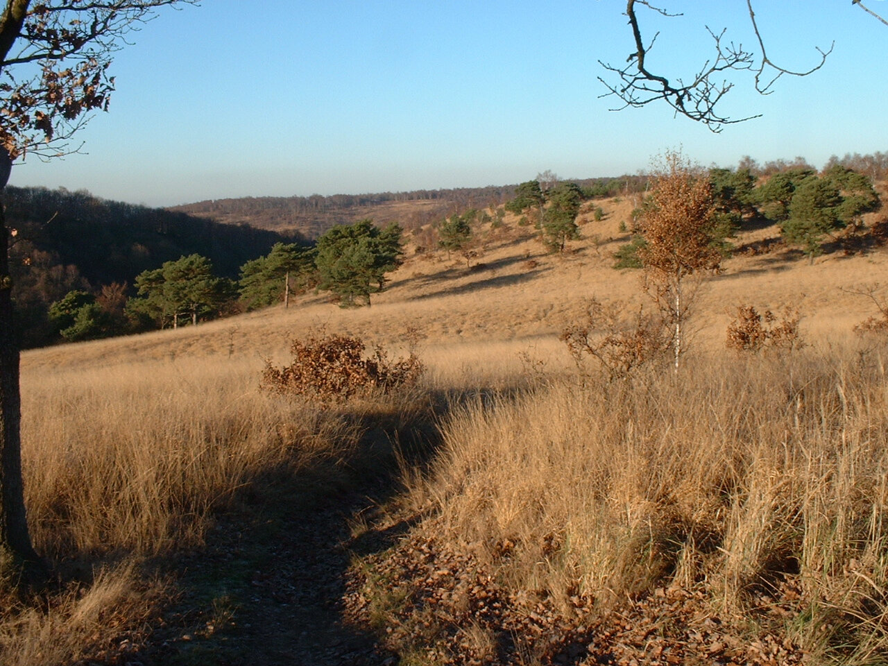
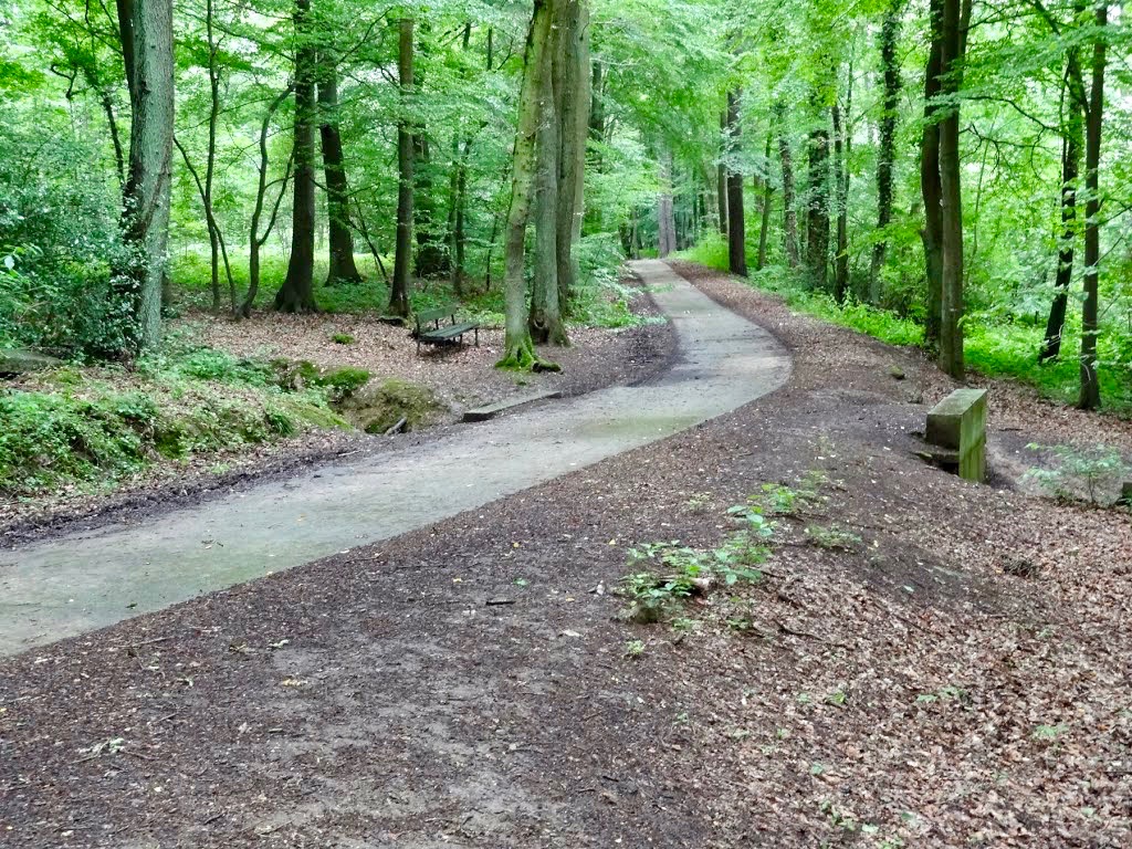
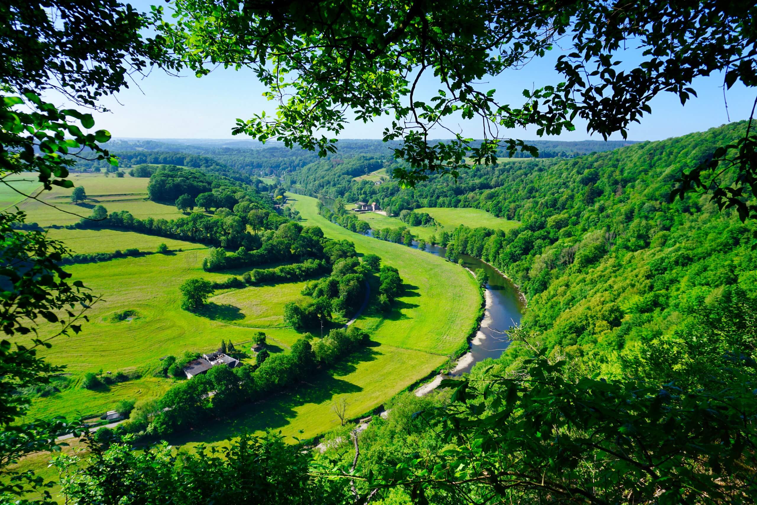
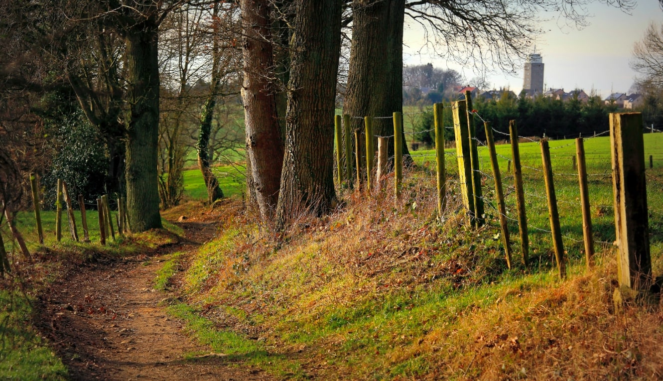
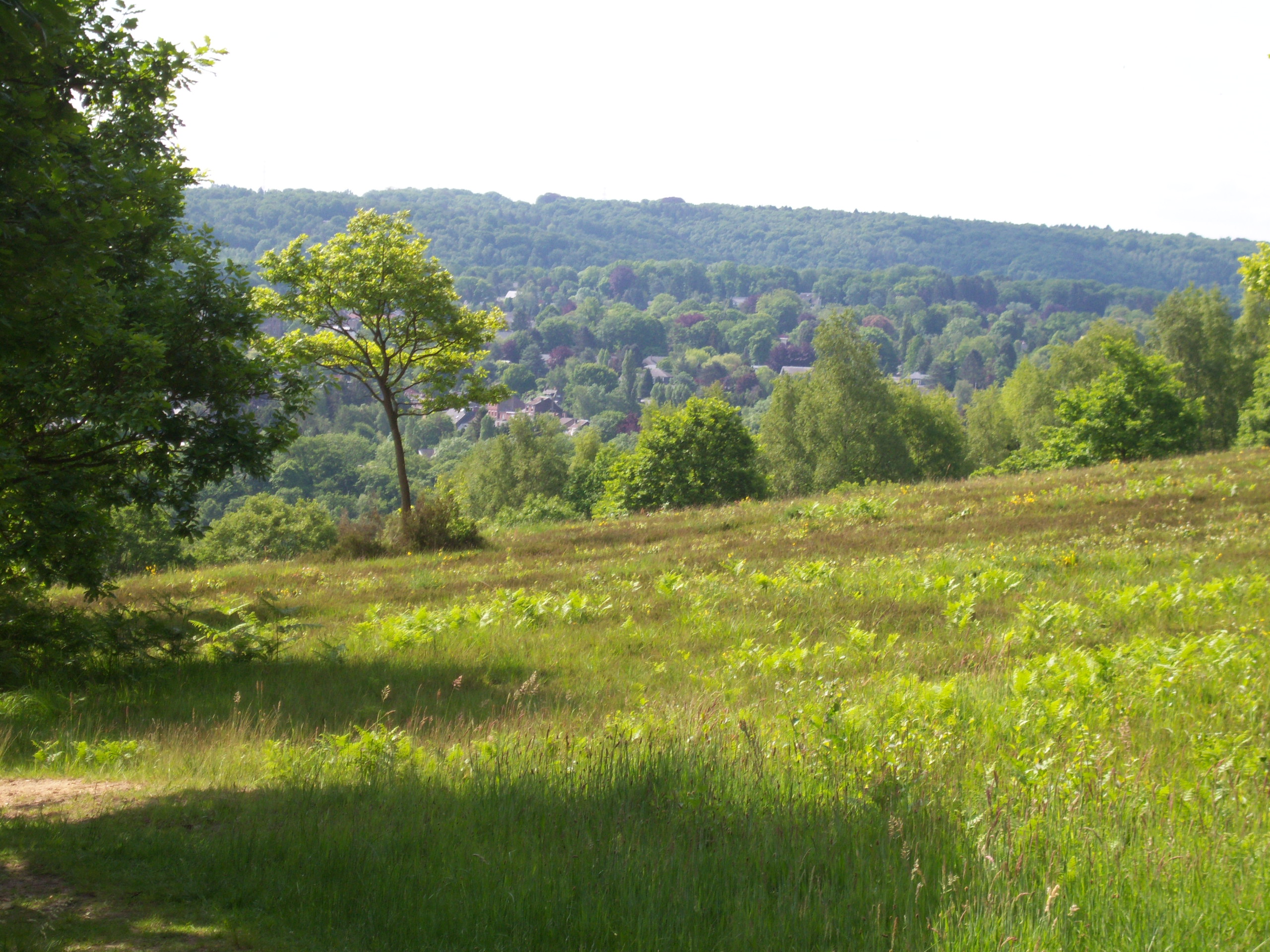
Pretty hike on a hill located in the immediate vicinity of Liège, in Angleur. The path begins in the forest then quickly joins the moor of Streupas, offering a superb view of the town and the valley of the Ourthe. Once in Sart-Tilman, the route takes the direction of the starting point to end this walk.

Already more than 200,000 users!
Uphill
255m
Highest point
244m
Downhill
255m
Lowest point
65m
Route type
Loop
Download the map on your smartphone to save battery and rest assured to always keep access to the route, even without signal.
Includes IGN France and Swisstopo.
I indicate whether dogs are allowed or prohibited on this trail
All year
1 rating
Also enjoy:

Already more than 200,000 users!