Uphill
292m
Length
9km
Duration
3h
Elev gain
292m
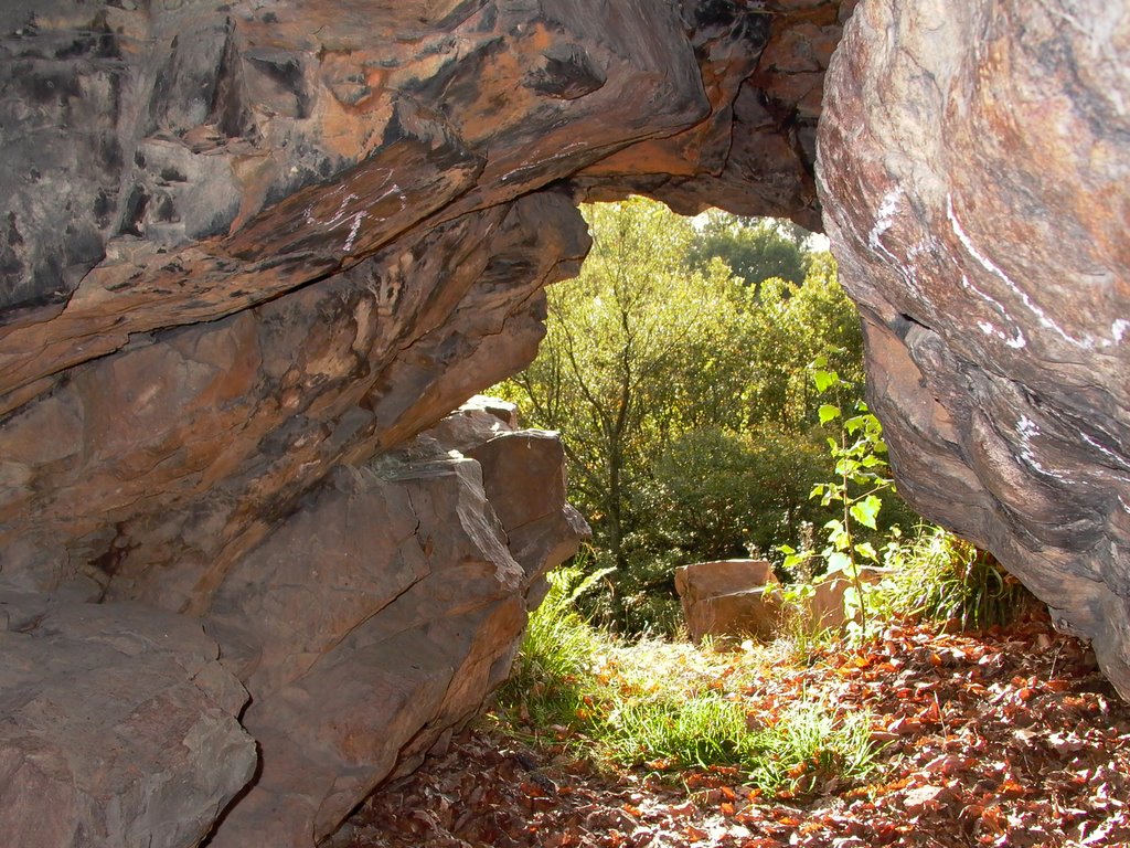
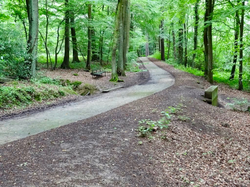
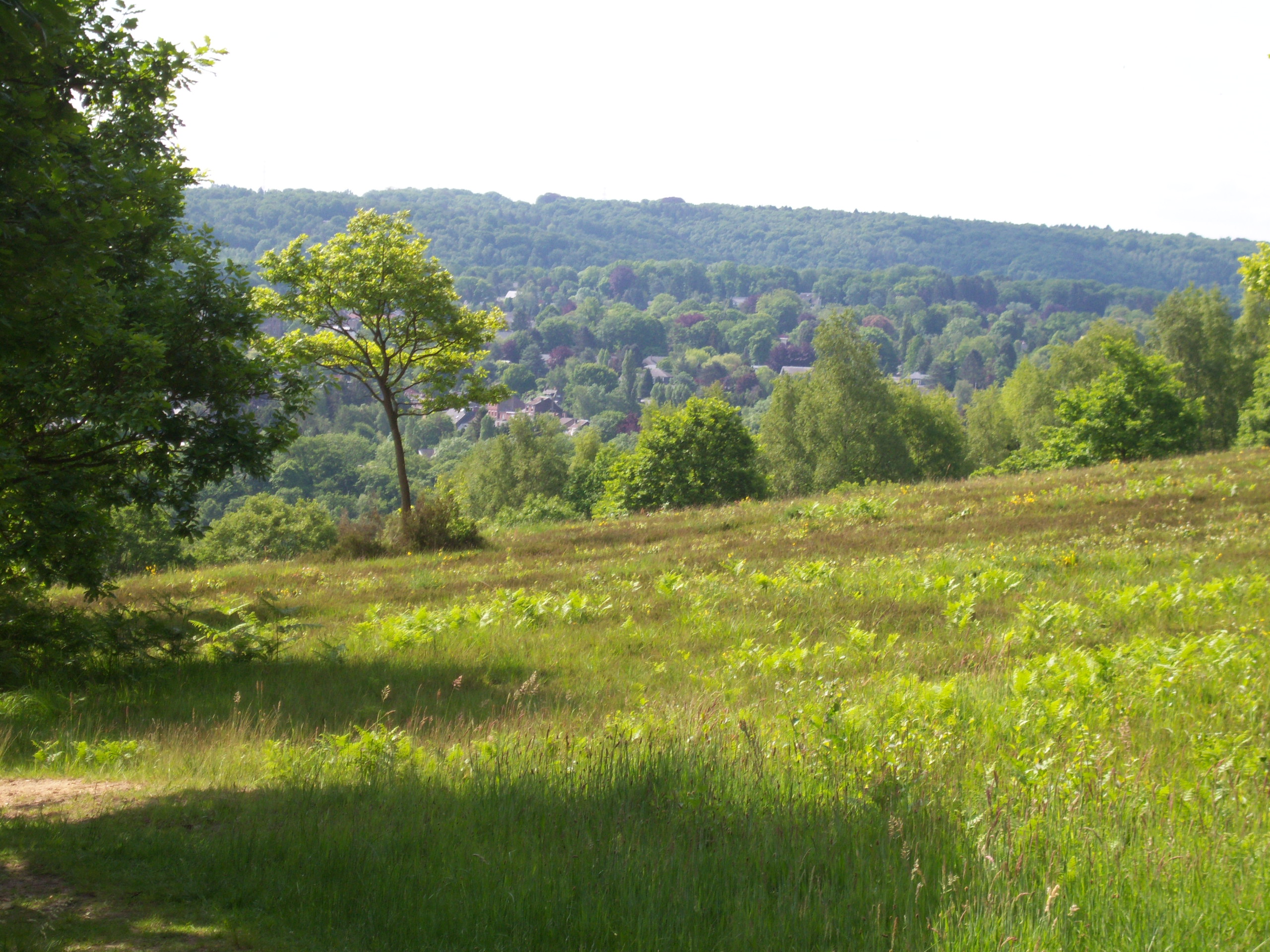
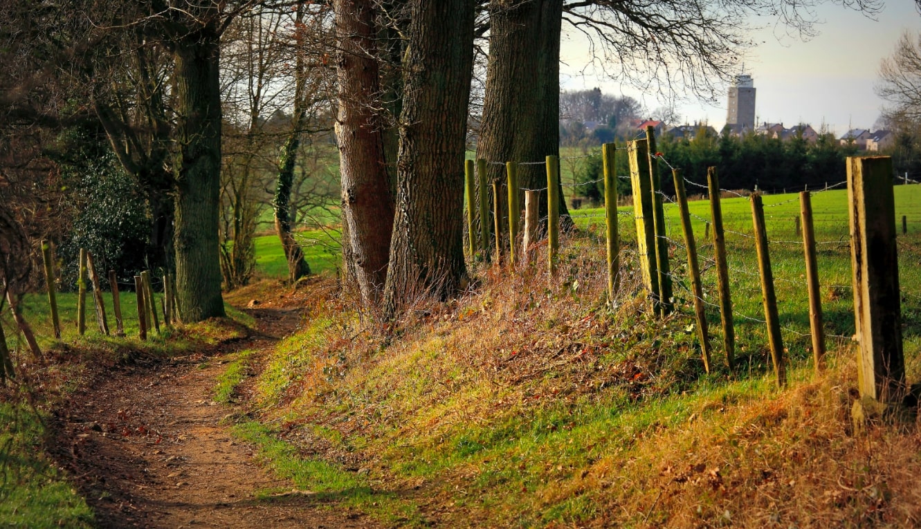
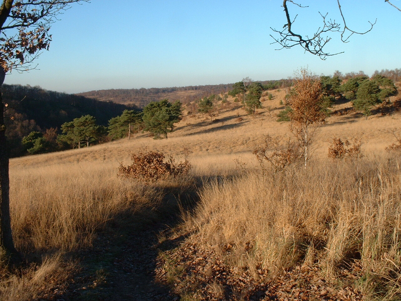
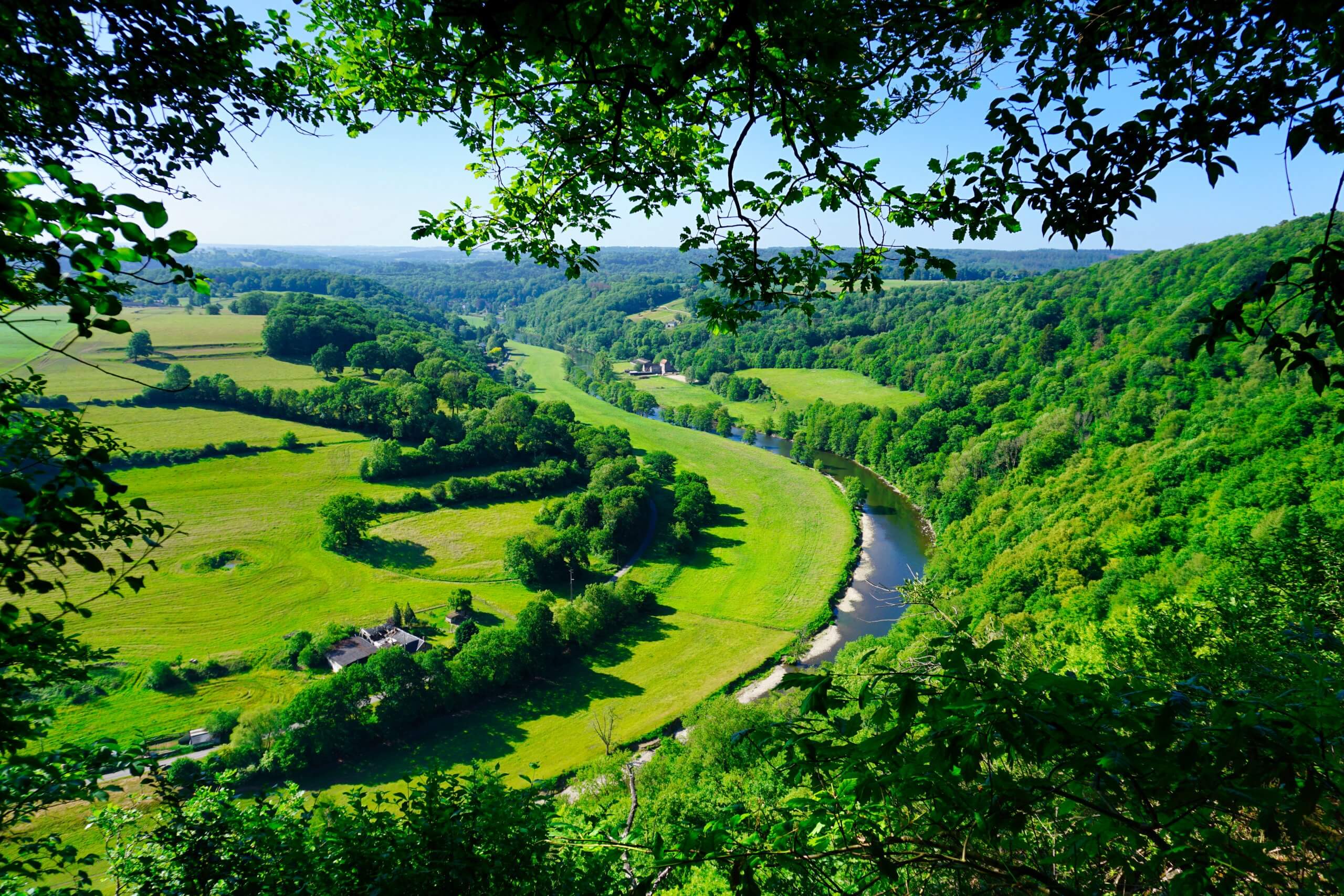
Departing from Esneux, this route climbs to La Roche-aux-Foncons, where the view of the Ourthe valley is splendid. After enjoying the view, the return to the starting point is via a small road, along the river.

Already more than 200,000 users!
Uphill
292m
Highest point
238m
Downhill
292m
Lowest point
68m
Route type
Loop
Download the map on your smartphone to save battery and rest assured to always keep access to the route, even without signal.
Includes IGN France and Swisstopo.
I indicate whether dogs are allowed or prohibited on this trail
All year
3 ratings
A ne pas faire si vous avez des enfants en bas-âge avec vous, ni si vous avez le vertige.
Ne pas non plus la faire en temps de pluie ou de sol humide. C’est assez glissant et dangereux.
Also enjoy:

Already more than 200,000 users!