Uphill
515m
Length
20km
Duration
6h30min
Elev gain
515m
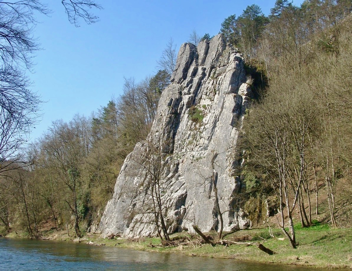
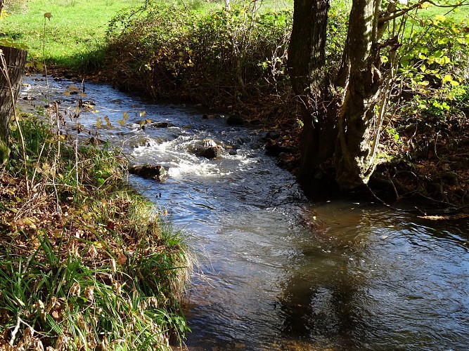
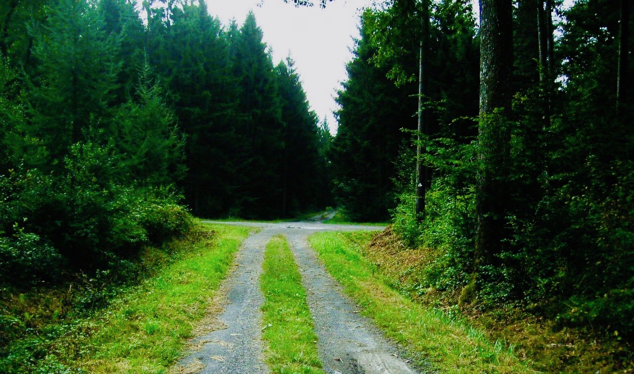
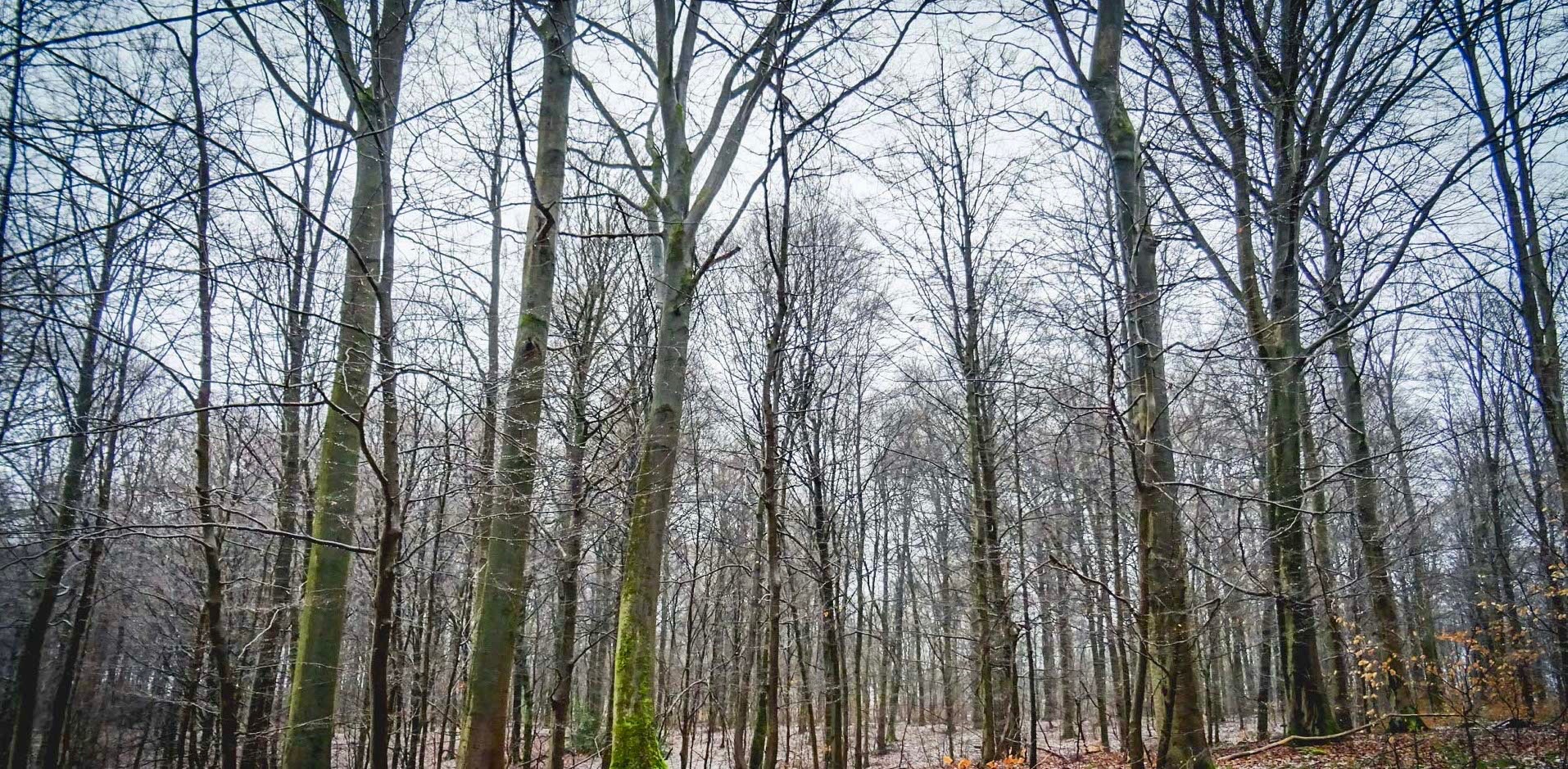
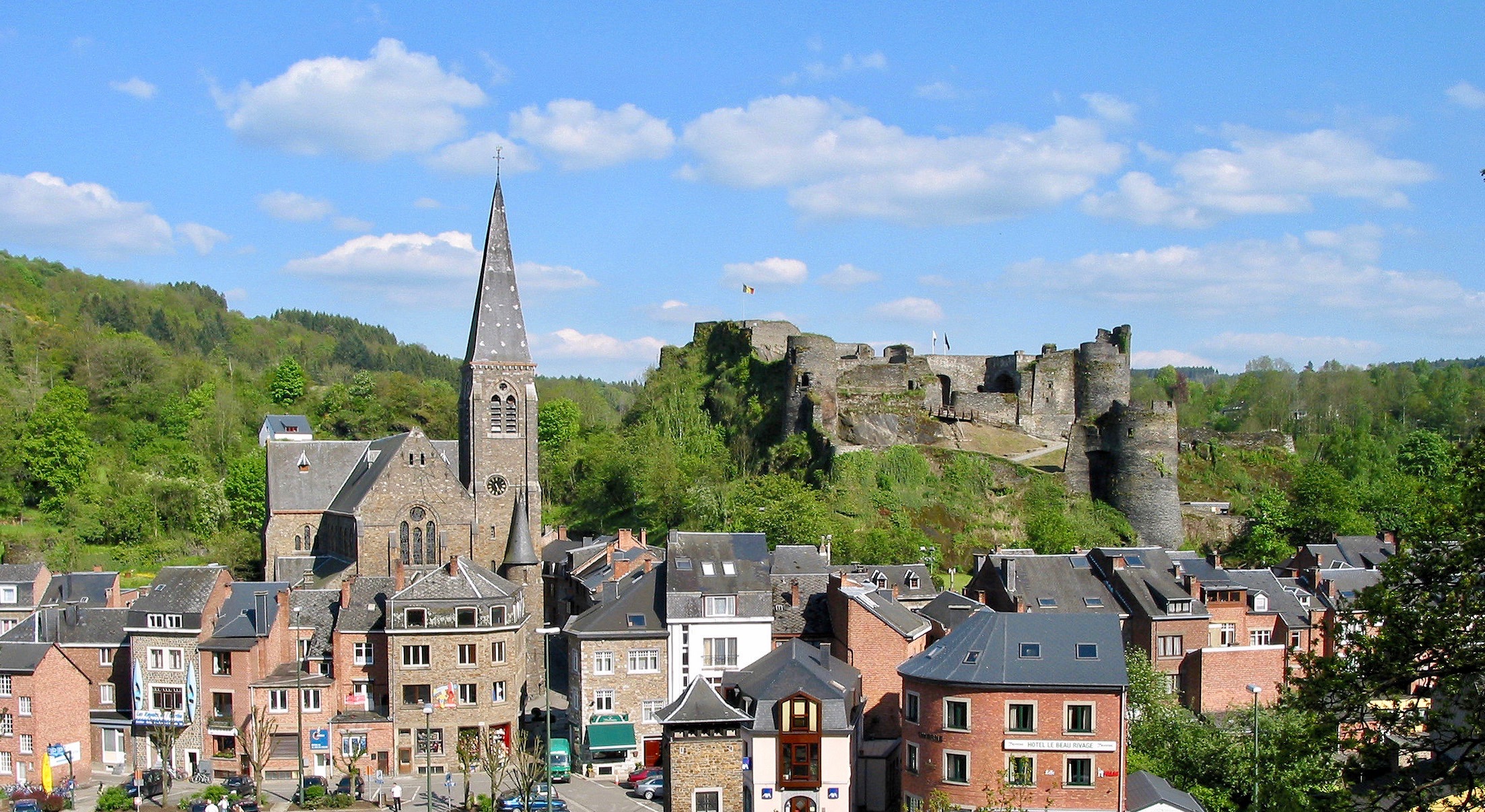
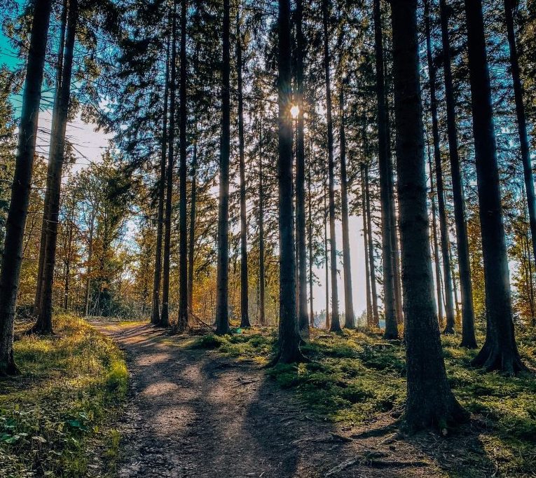
Long and charming hike in the woods, starting from Wéris. The route makes a large loop through the forest and passes through many surrounding villages, all on a peaceful path that sometimes has slightly steep climbs.

Already more than 200,000 users!
Uphill
515m
Highest point
406m
Downhill
515m
Lowest point
223m
Route type
Loop
Download the map on your smartphone to save battery and rest assured to always keep access to the route, even without signal.
Includes IGN France and Swisstopo.
I indicate whether dogs are allowed or prohibited on this trail
All year
0 ratings
Also enjoy:

Already more than 200,000 users!