Uphill
311m
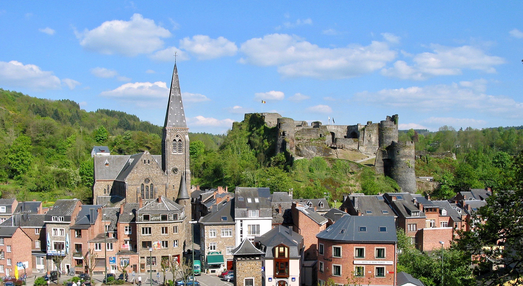
Belgium > Wallonia > Luxembourg > Deux Ourthes Nature Park
Length
12km
Duration
3h30min
Elev gain
311m
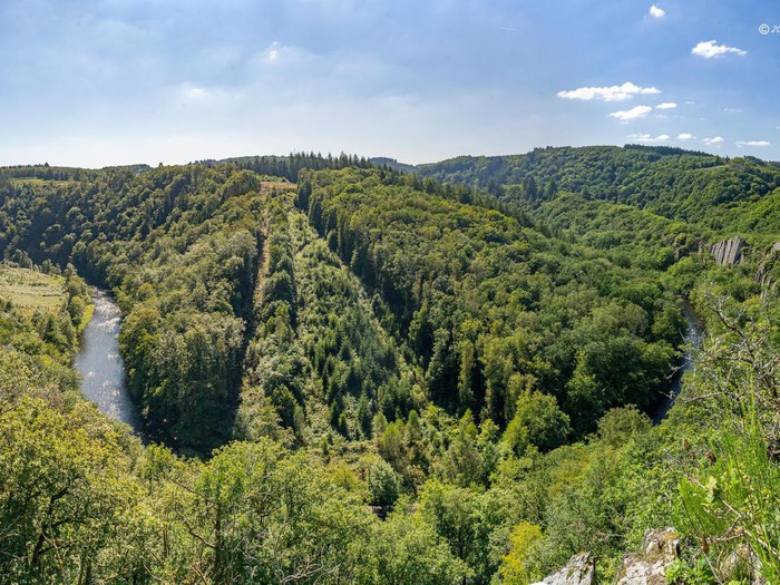
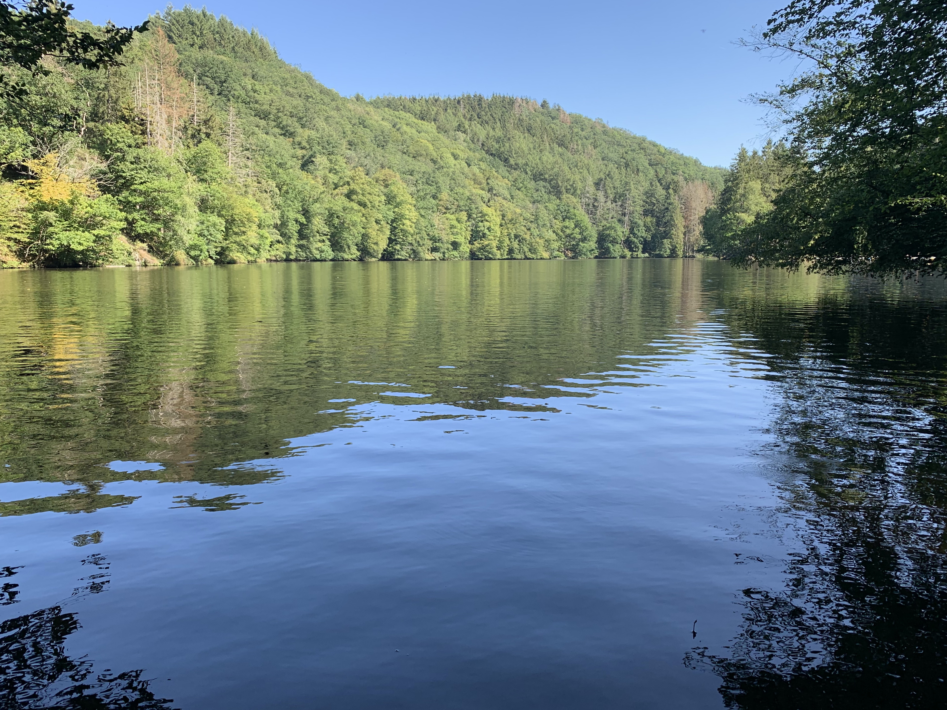
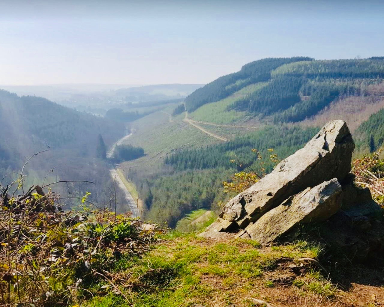
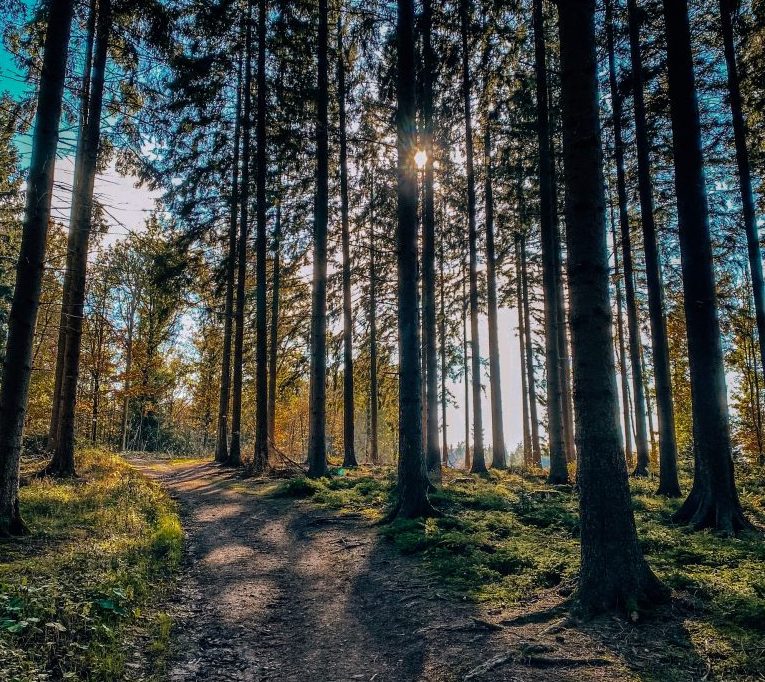
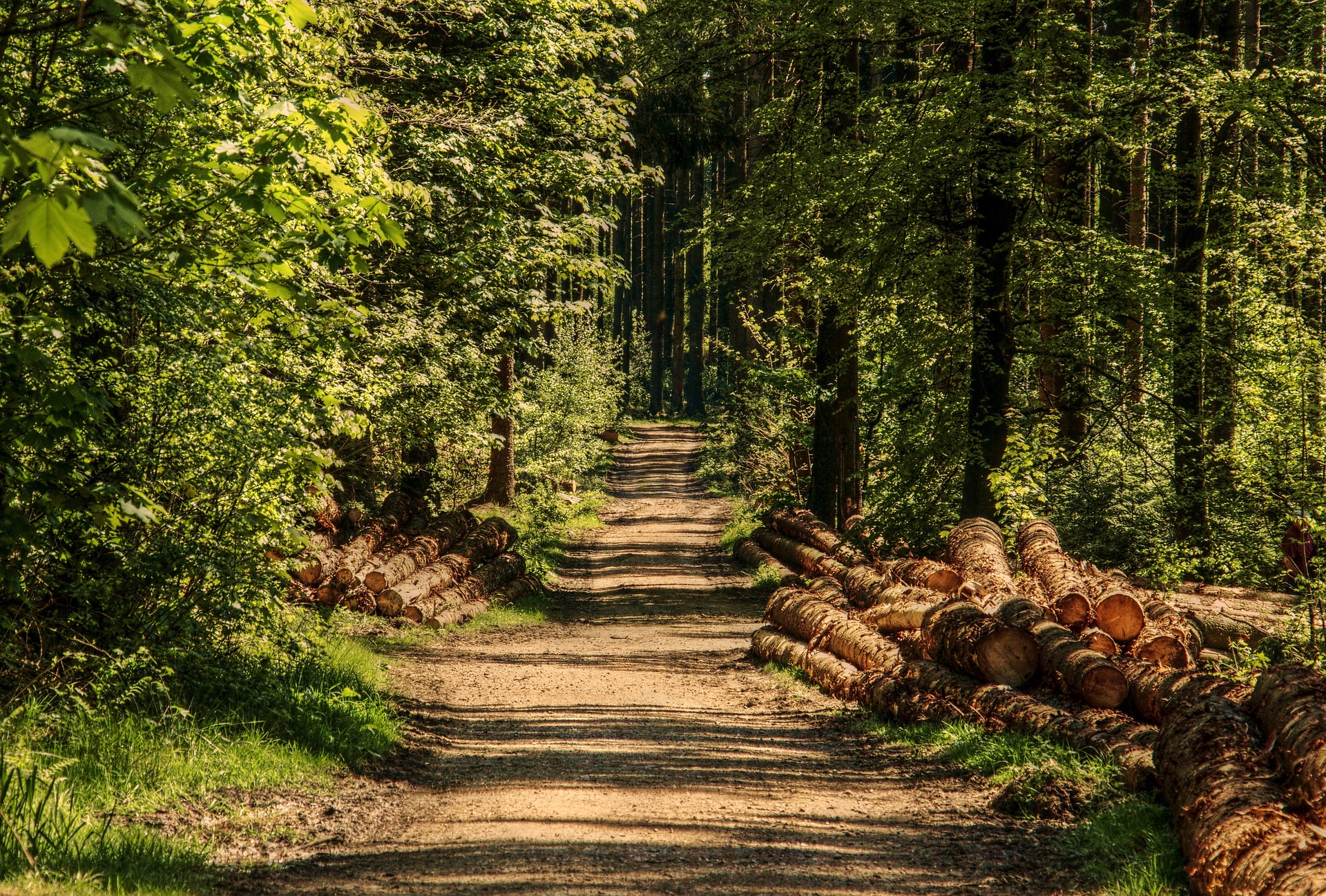
This route makes a loop on a relatively hilly path, in a splendid natural environment: fields, forest, river and panoramic views, everything is there!

Already more than 200,000 users!
Uphill
311m
Highest point
383m
Downhill
311m
Lowest point
212m
Route type
Loop
Download the map on your smartphone to save battery and rest assured to always keep access to the route, even without signal.
Includes IGN France and Swisstopo.
I indicate whether dogs are allowed or prohibited on this trail
All year
0 ratings
Also enjoy:

Already more than 200,000 users!