Uphill
270m
Length
9km
Duration
3h
Elev gain
270m
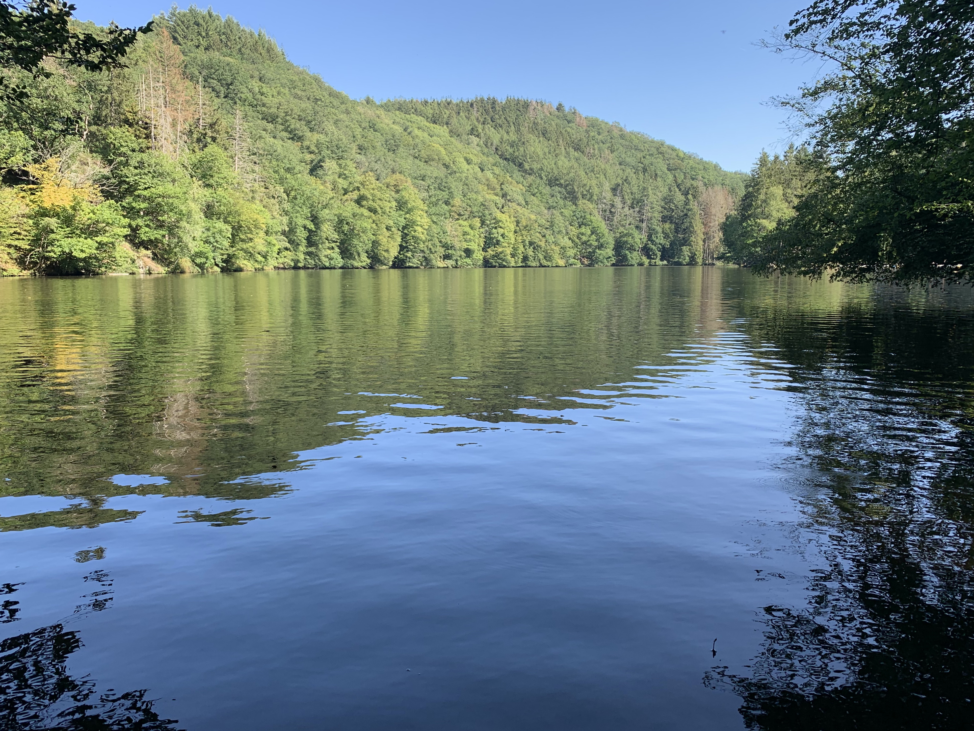
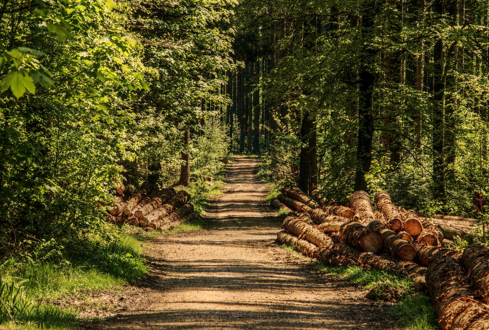
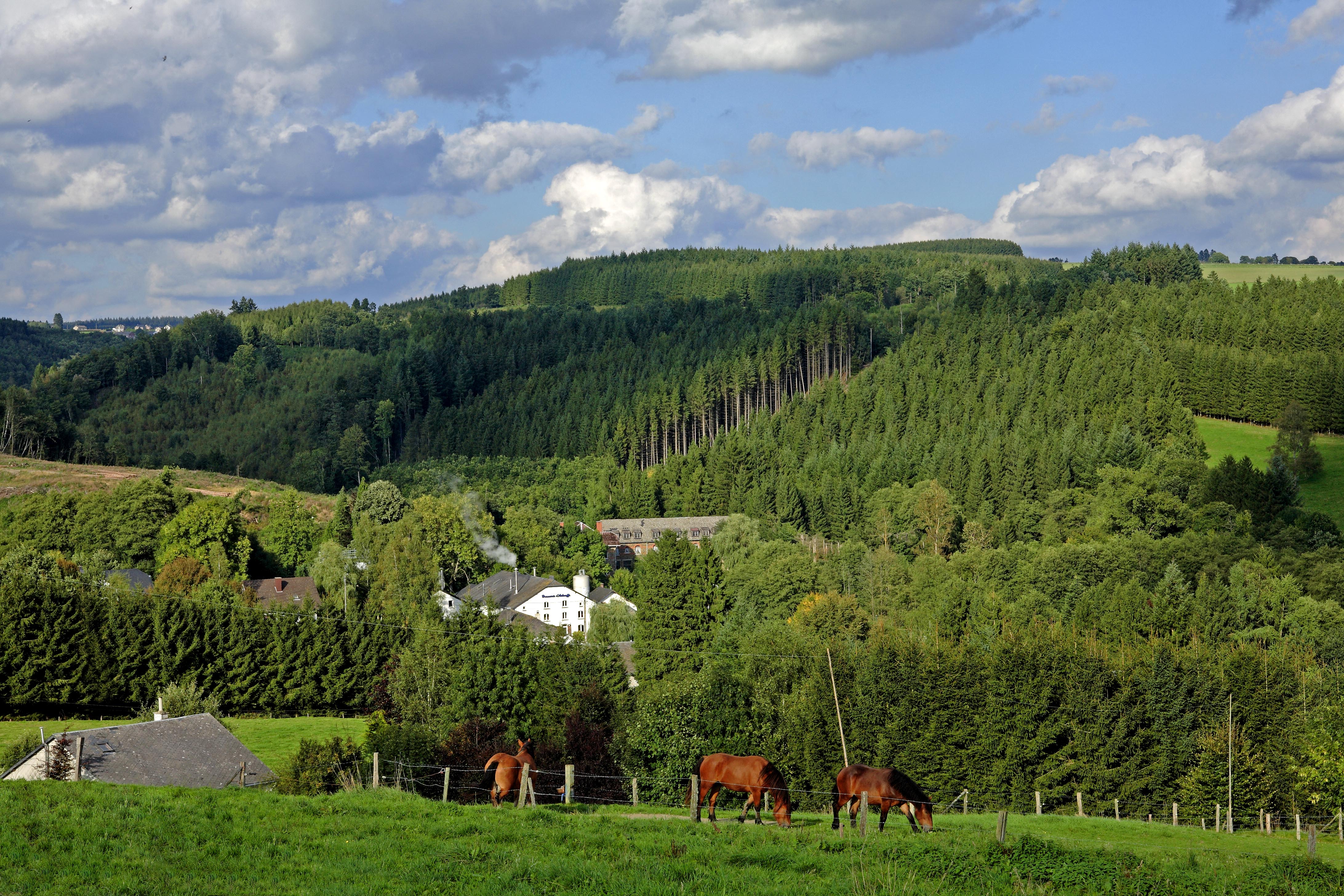
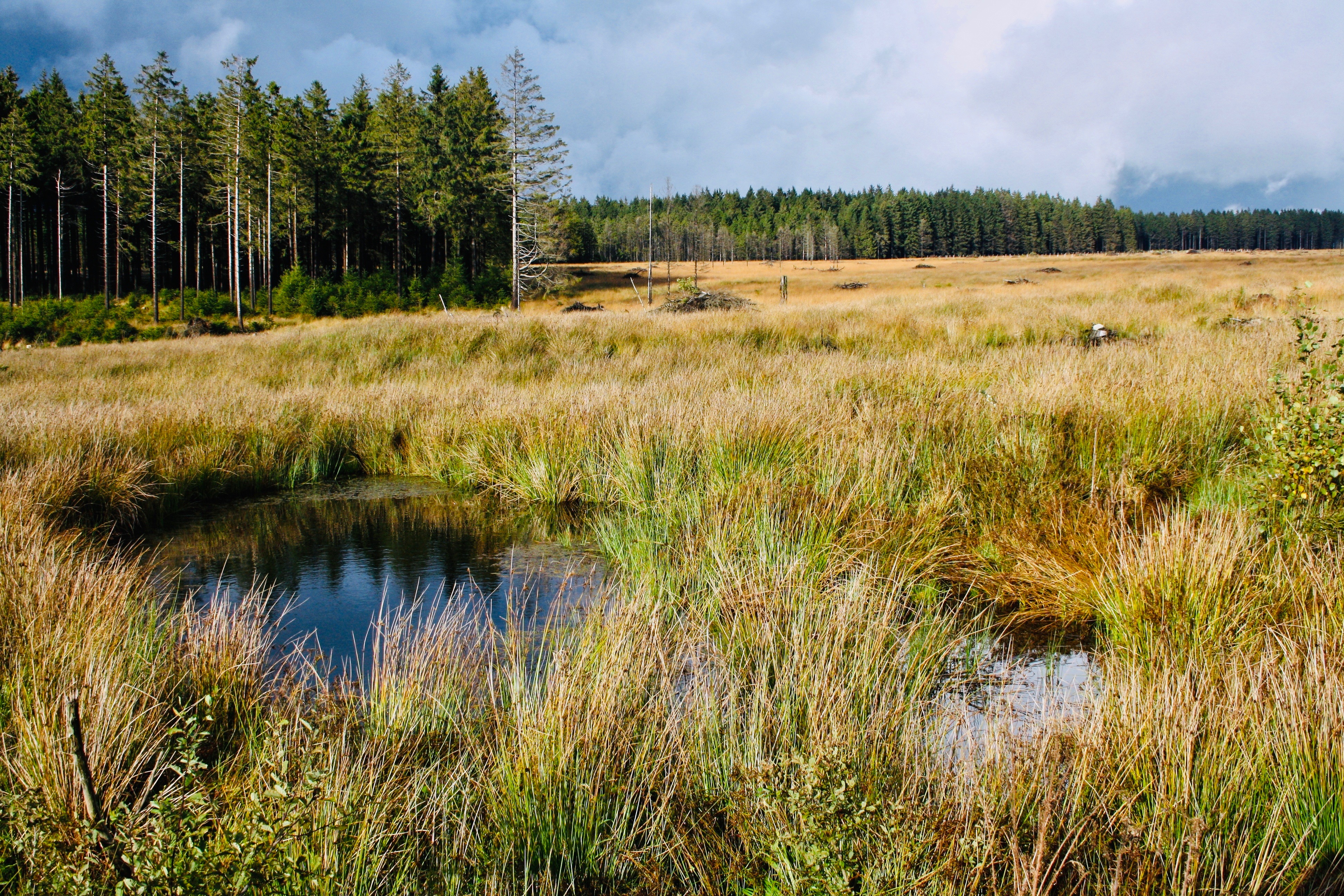
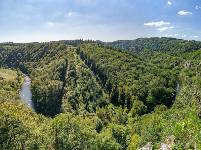
Very nice hike around Ollomont. The route winds around the Ourthe and makes a loop on a relatively wild path, which sometimes presents somewhat complicated places due to the vegetation but also elevation gain.

Already more than 200,000 users!
Uphill
270m
Highest point
398m
Downhill
270m
Lowest point
236m
Route type
Loop
Download the map on your smartphone to save battery and rest assured to always keep access to the route, even without signal.
Includes IGN France and Swisstopo.
I indicate whether dogs are allowed or prohibited on this trail
All year
3 ratings
Très difficile et escarpés à certains endroits mais de très belles vues! (Plus de km que prévoit le tracé)
Also enjoy:

Already more than 200,000 users!