Uphill
68m
Length
6km
Duration
1h30min
Elev gain
68m
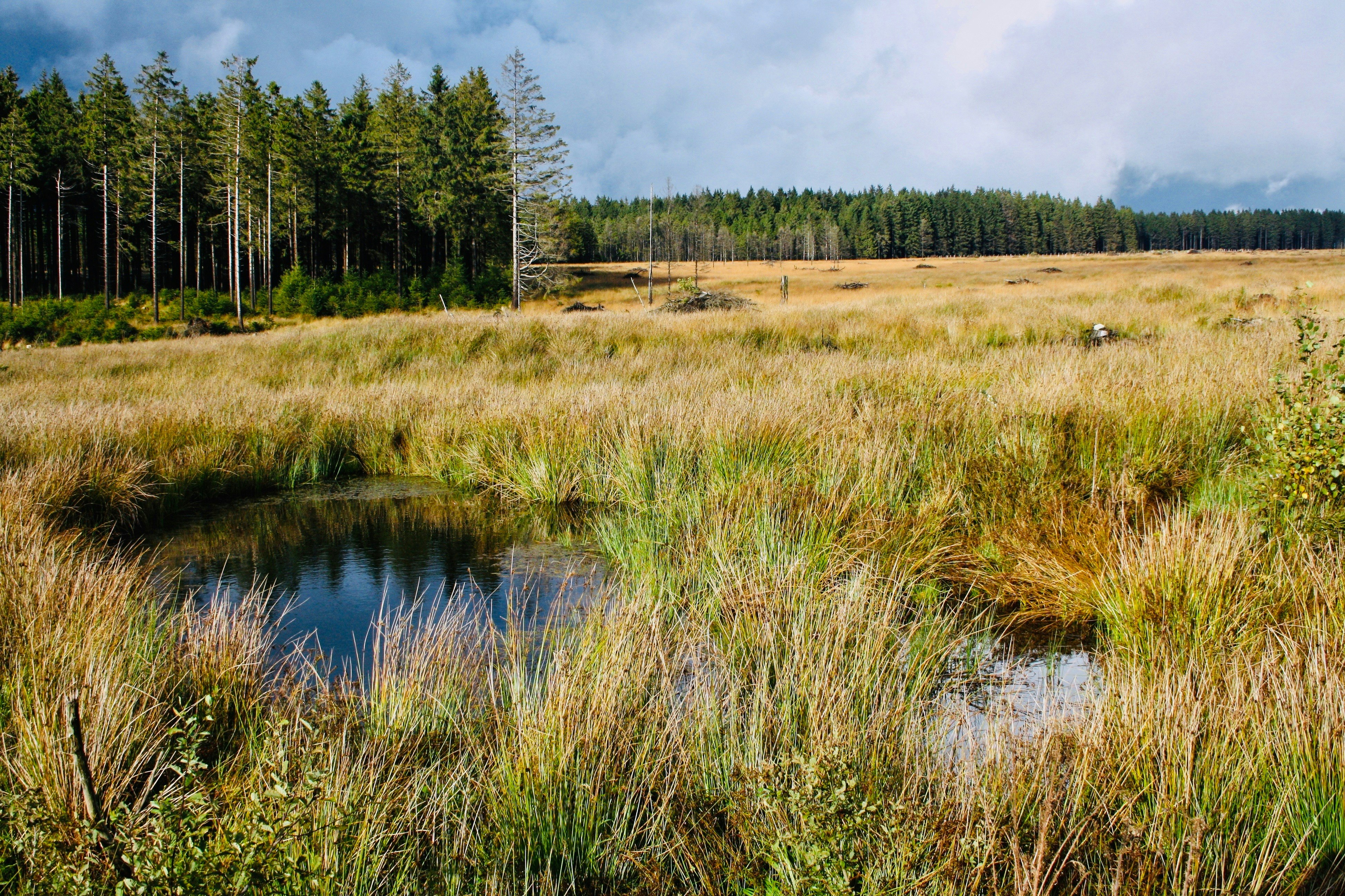
Nice walk to discover the Plateau des Tailles. The route makes a loop around the fagne, which presents typical fauna and flora.
Note that the trail can be muddy, being in a marshy area.

Already more than 200,000 users!
Uphill
68m
Highest point
619m
Downhill
68m
Lowest point
551m
Route type
Loop
Download the map on your smartphone to save battery and rest assured to always keep access to the route, even without signal.
Includes IGN France and Swisstopo.
I indicate whether dogs are allowed or prohibited on this trail
All year
1 rating
Superbe ballade dans un cadre magnifique. Mais attention !! il faut un bon équipement de randonnée car par moment il faut passer des grosses flaques d'eau et de boue. 😉
Also enjoy:

Already more than 200,000 users!


