Uphill
166m
Length
10km
Duration
3h
Elev gain
166m
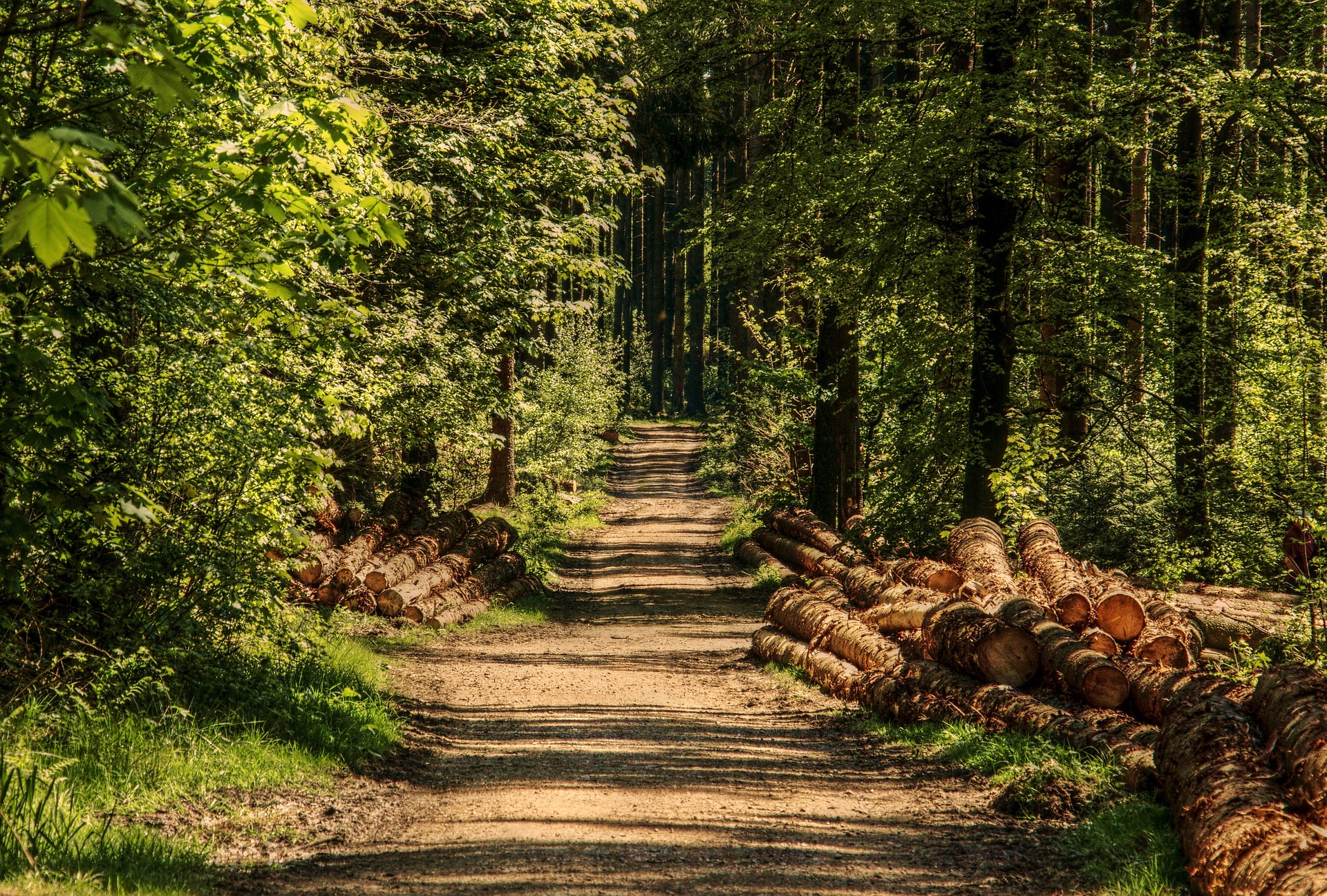
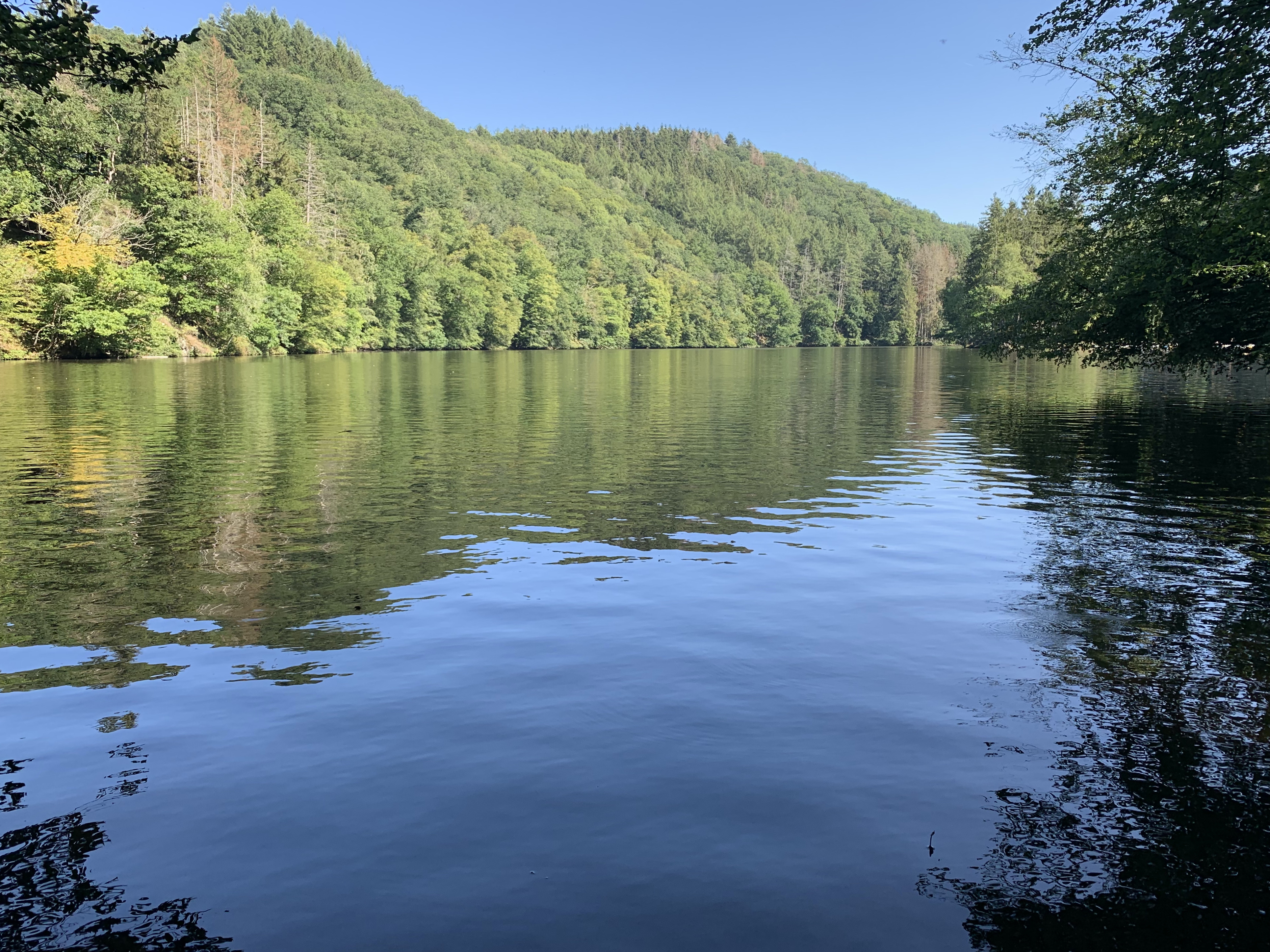
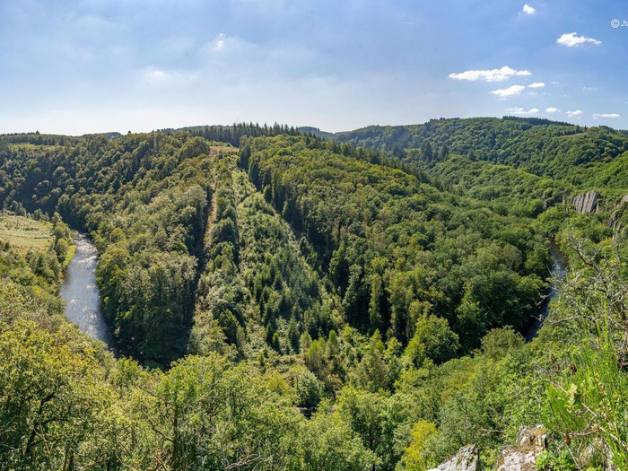
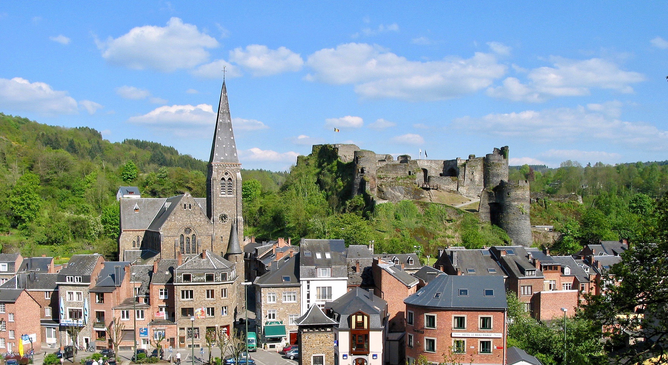
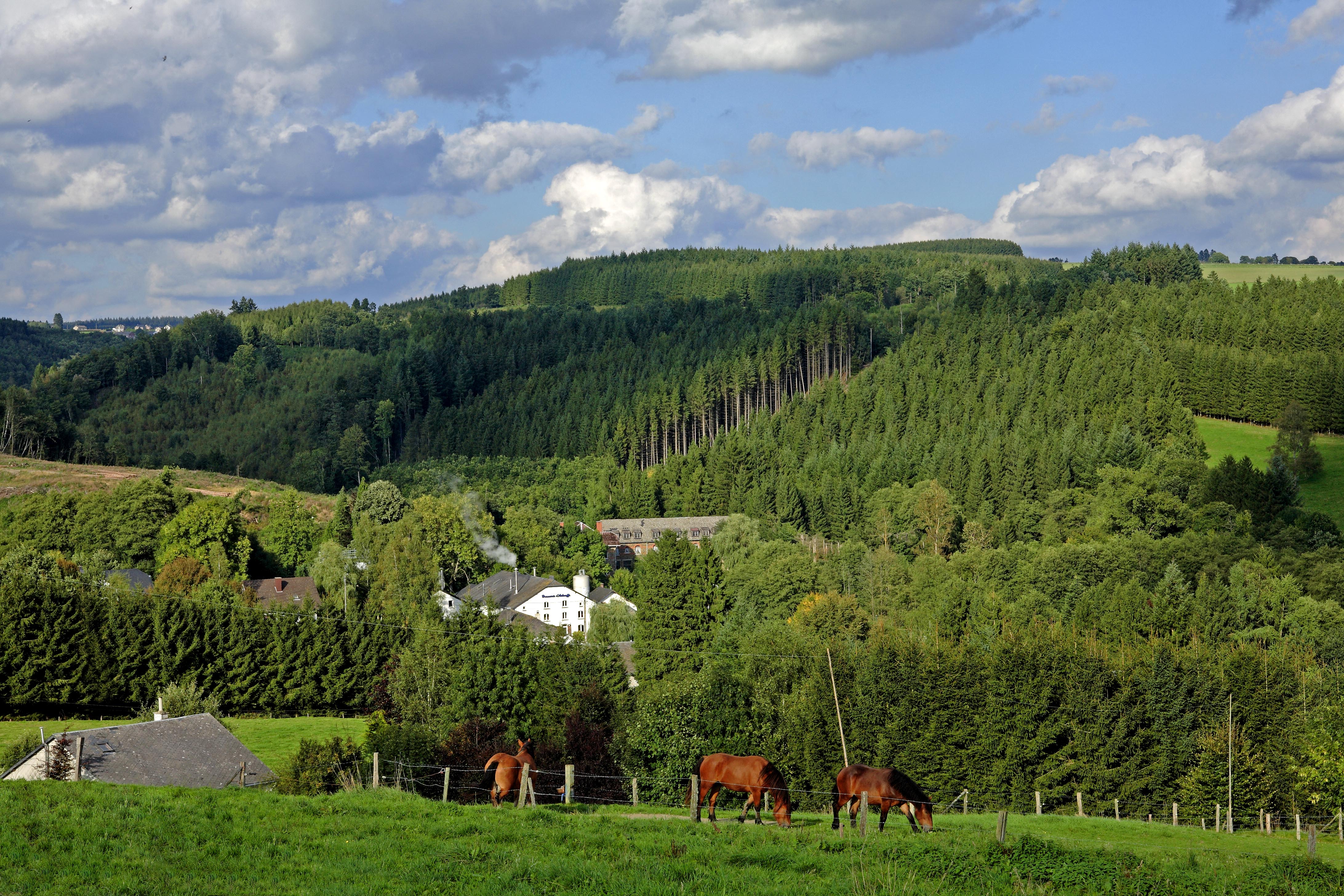
Great walk along the water around Achouffe. The route begins in the village then quickly rushes into the surrounding forests, taking small steep-sided valleys.
At the end of the walk, it is possible to take a short break at the brasserie de la Chouffe in order to have something to eat and end the hike in style.

Already more than 200,000 users!
Uphill
166m
Highest point
400m
Downhill
166m
Lowest point
297m
Route type
Loop
Download the map on your smartphone to save battery and rest assured to always keep access to the route, even without signal.
Includes IGN France and Swisstopo.
I indicate whether dogs are allowed or prohibited on this trail
All year
1 rating
Also enjoy:

Already more than 200,000 users!