Uphill
328m
Length
17km
Duration
5h
Elev gain
328m
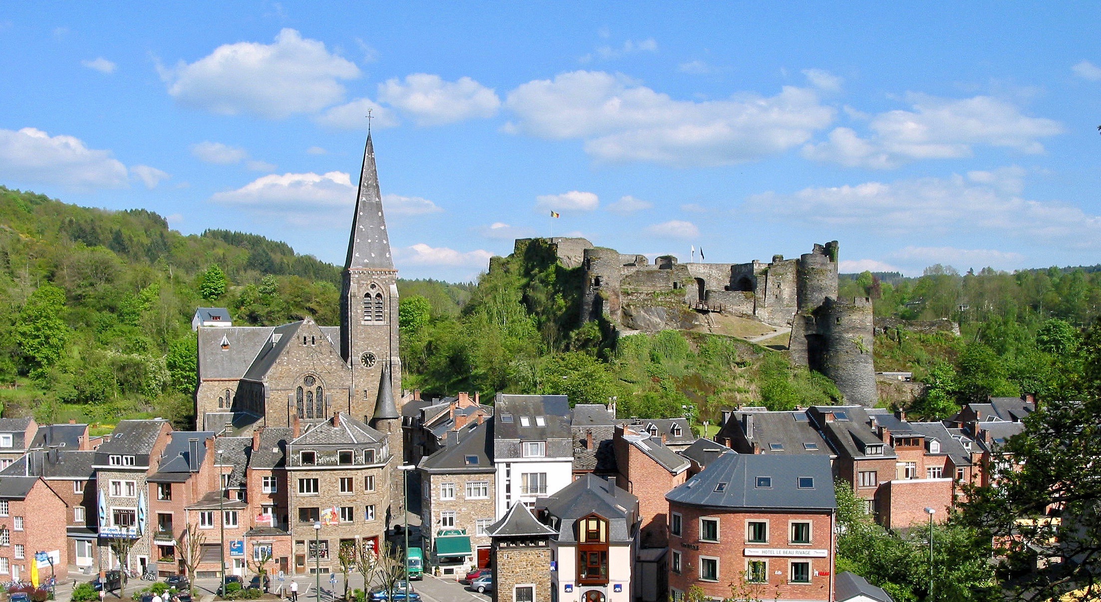
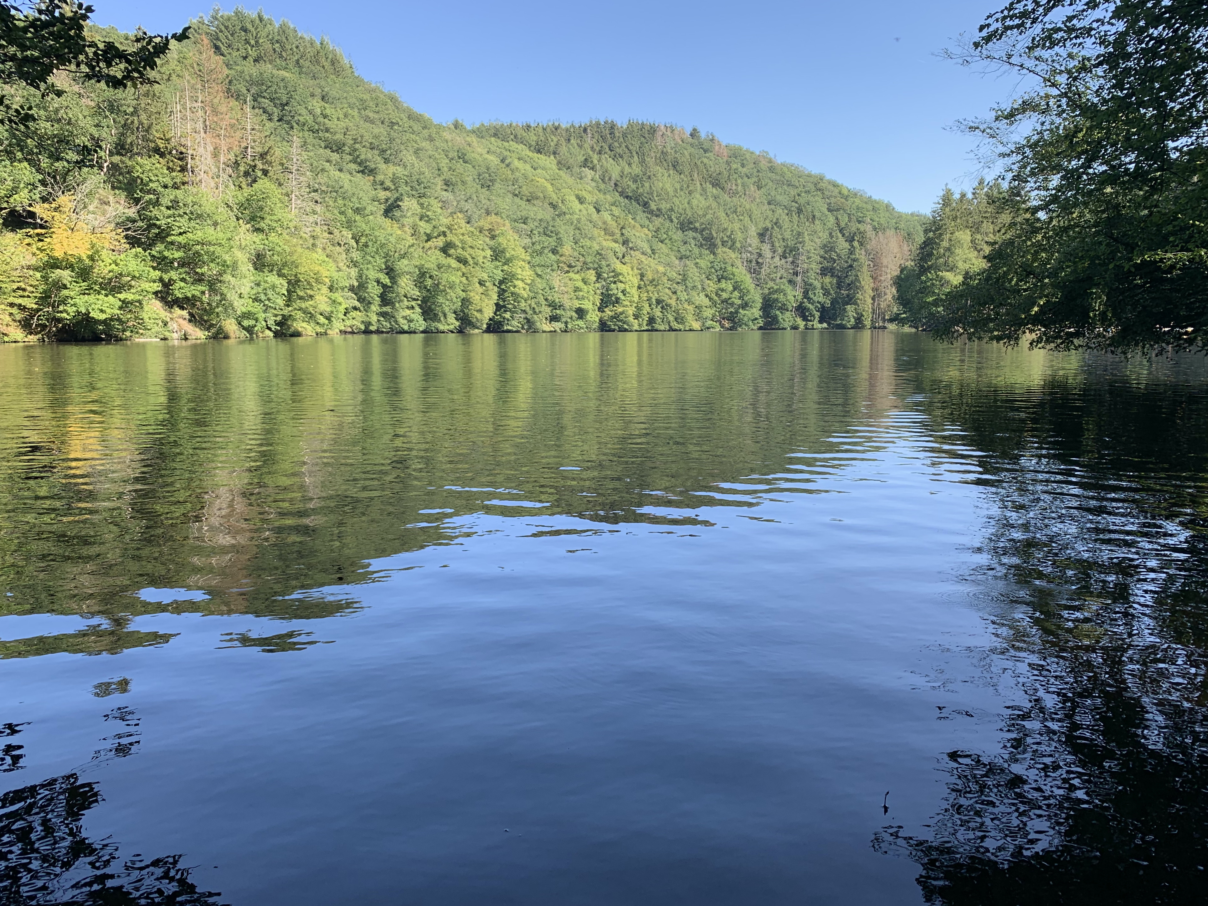
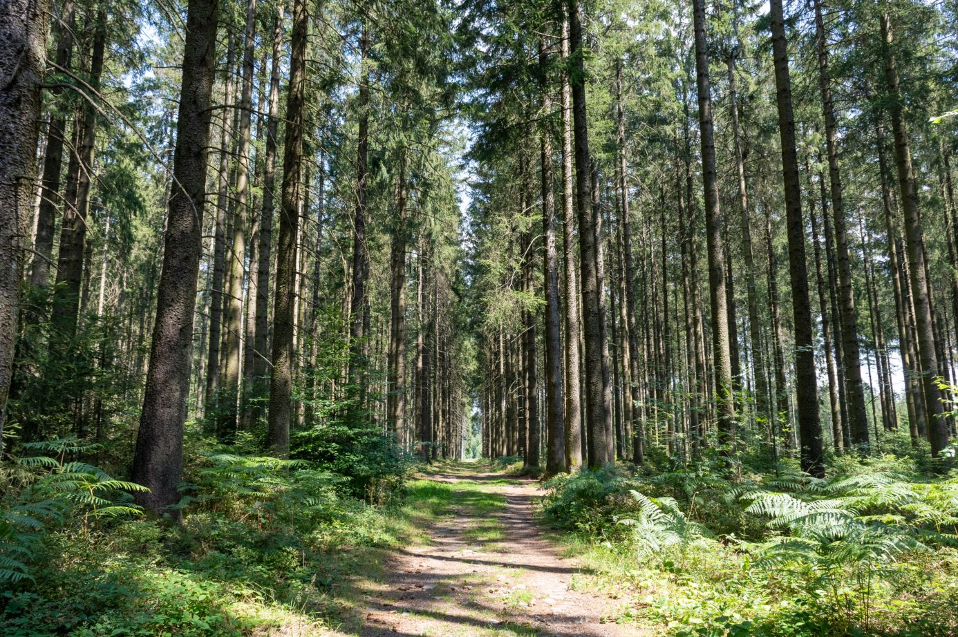
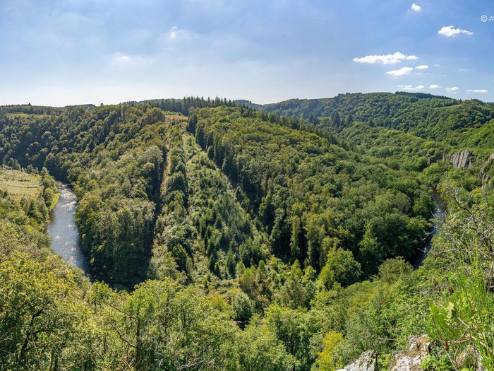
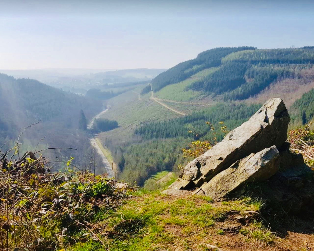
Long and beautiful hike starting from the village of Lavacherie. The route runs along a river to then gain height and reach the Cheslin, a nice viewpoint on the heights. It then continues in the forest and makes a loop to return to the starting point.

Already more than 200,000 users!
Uphill
328m
Highest point
547m
Downhill
328m
Lowest point
345m
Route type
Loop
Download the map on your smartphone to save battery and rest assured to always keep access to the route, even without signal.
Includes IGN France and Swisstopo.
I indicate whether dogs are allowed or prohibited on this trail
All year
1 rating
Also enjoy:

Already more than 200,000 users!