Uphill
398m
Length
19km
Duration
5h30min
Elev gain
398m
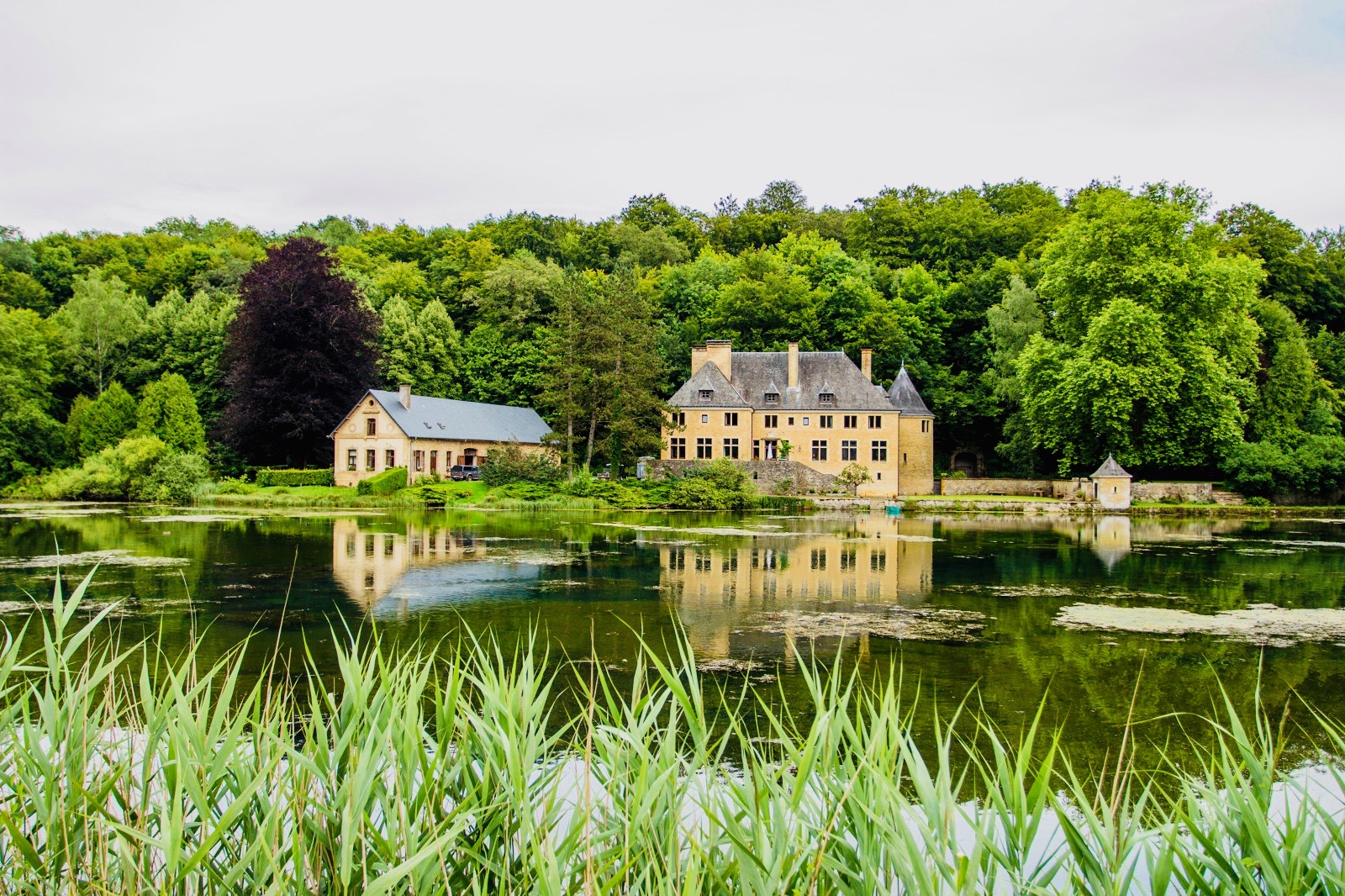
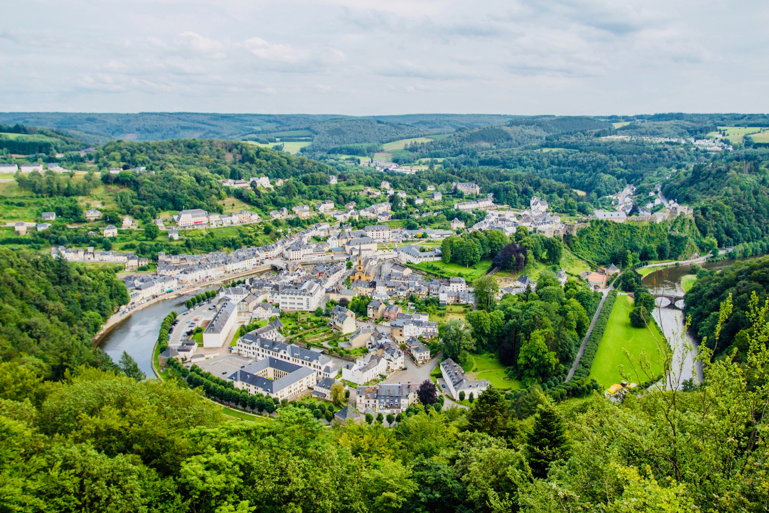
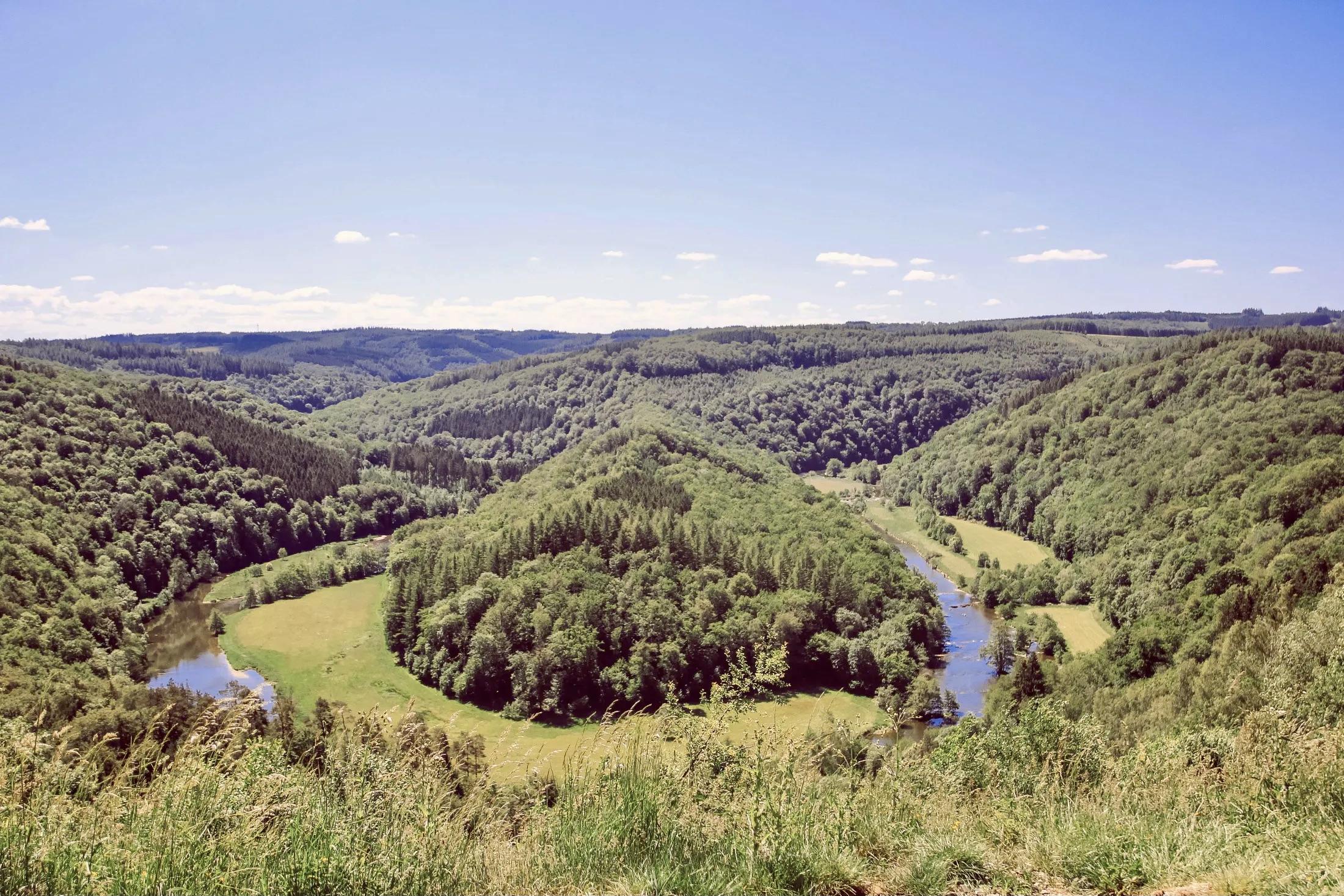
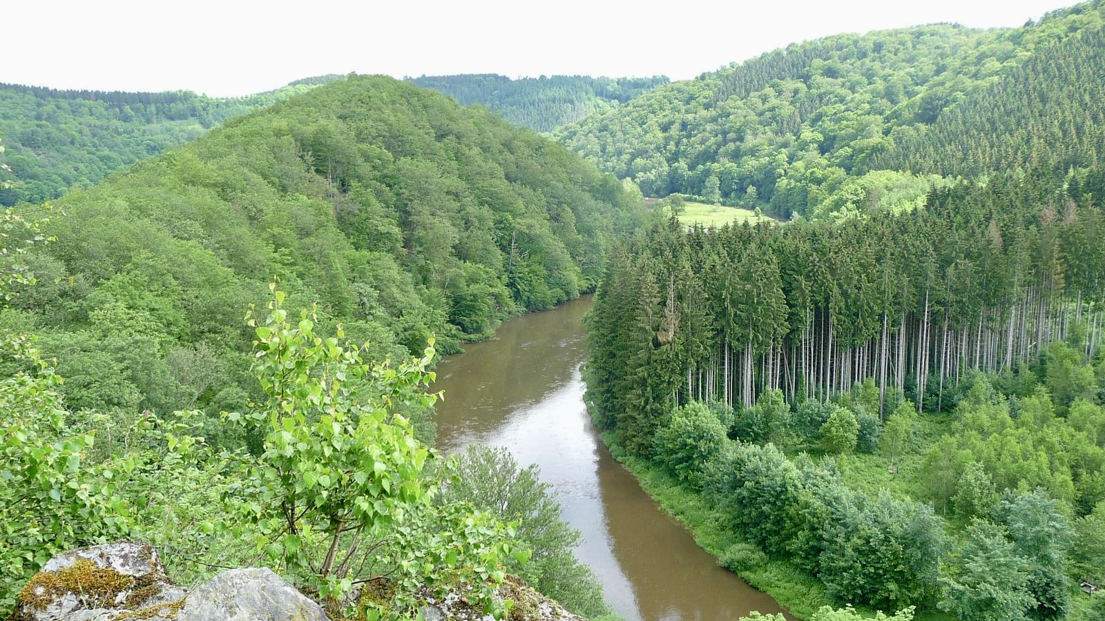
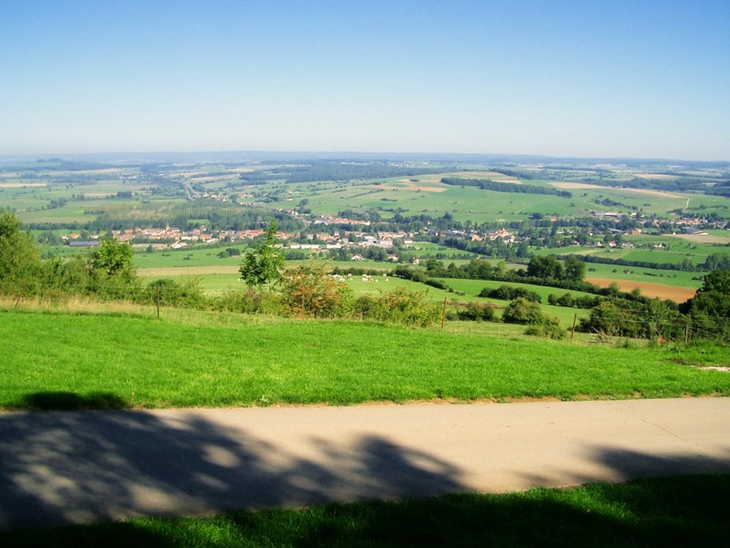
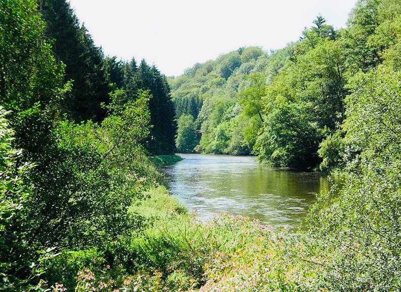
Departing from Sainte-Cécile, in the province of Luxembourg, this hike makes a loop in the surroundings. It alternates between the banks of the Semois and forest paths a little further inland.

Already more than 200,000 users!
Uphill
398m
Highest point
441m
Downhill
398m
Lowest point
263m
Route type
Loop
Download the map on your smartphone to save battery and rest assured to always keep access to the route, even without signal.
Includes IGN France and Swisstopo.
I indicate whether dogs are allowed or prohibited on this trail
All year
0 ratings
Also enjoy:

Already more than 200,000 users!