Uphill
203m
Length
12km
Duration
3h30min
Elev gain
203m
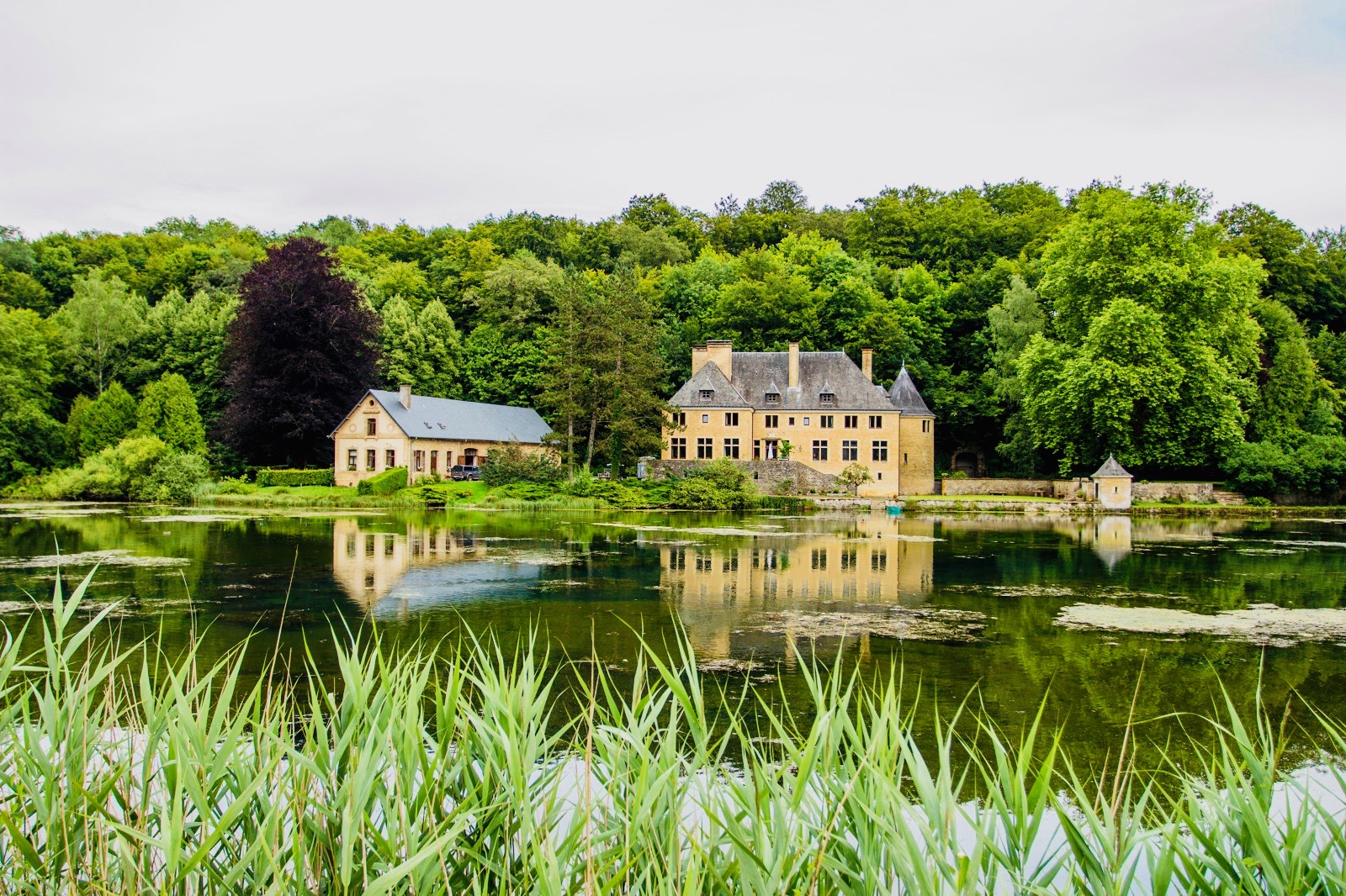
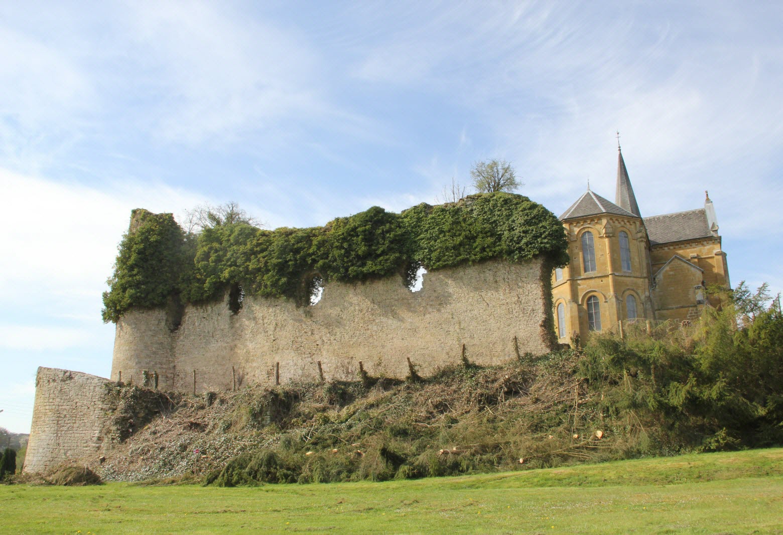
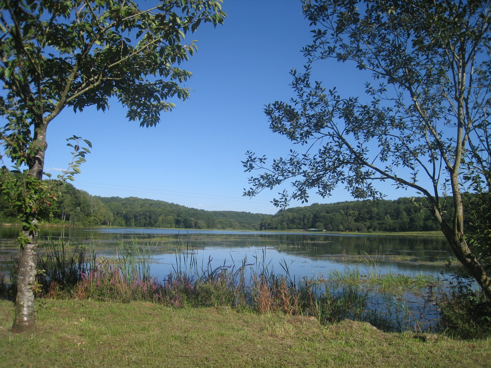
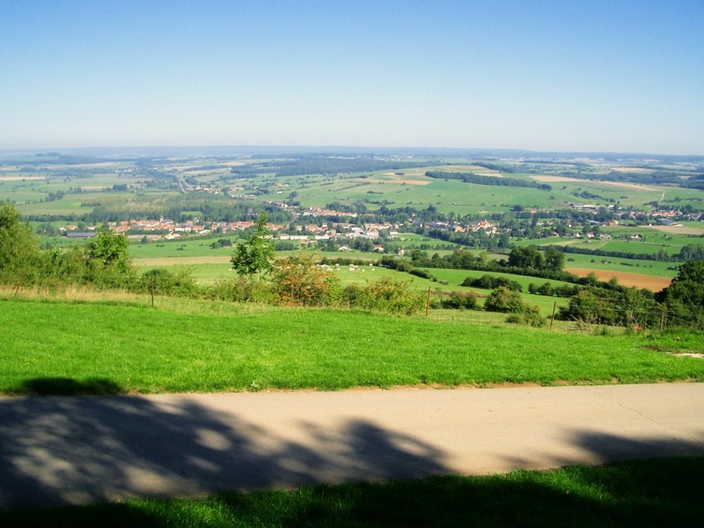
Here is a walk to discover Mont Saint-Walfroy, also called hermitage of Saint-Walfroy. The route makes a loop mainly in the forest and offers a nice panorama once the summit is reached. Having been the hermitage of Saint Walfroy the Stylite, the apostle of the Ardennes, this place is still today a place of pilgrimage.

Already more than 200,000 users!
Uphill
203m
Highest point
365m
Downhill
203m
Lowest point
257m
Route type
Loop
Download the map on your smartphone to save battery and rest assured to always keep access to the route, even without signal.
Includes IGN France and Swisstopo.
I indicate whether dogs are allowed or prohibited on this trail
All year
2 ratings
Also enjoy:

Already more than 200,000 users!