Uphill
411m
Belgium > Wallonia > Luxembourg > Haute-Sûre and Forêt d'Anlier Nature Park
Length
20km
Duration
6h
Elev gain
411m
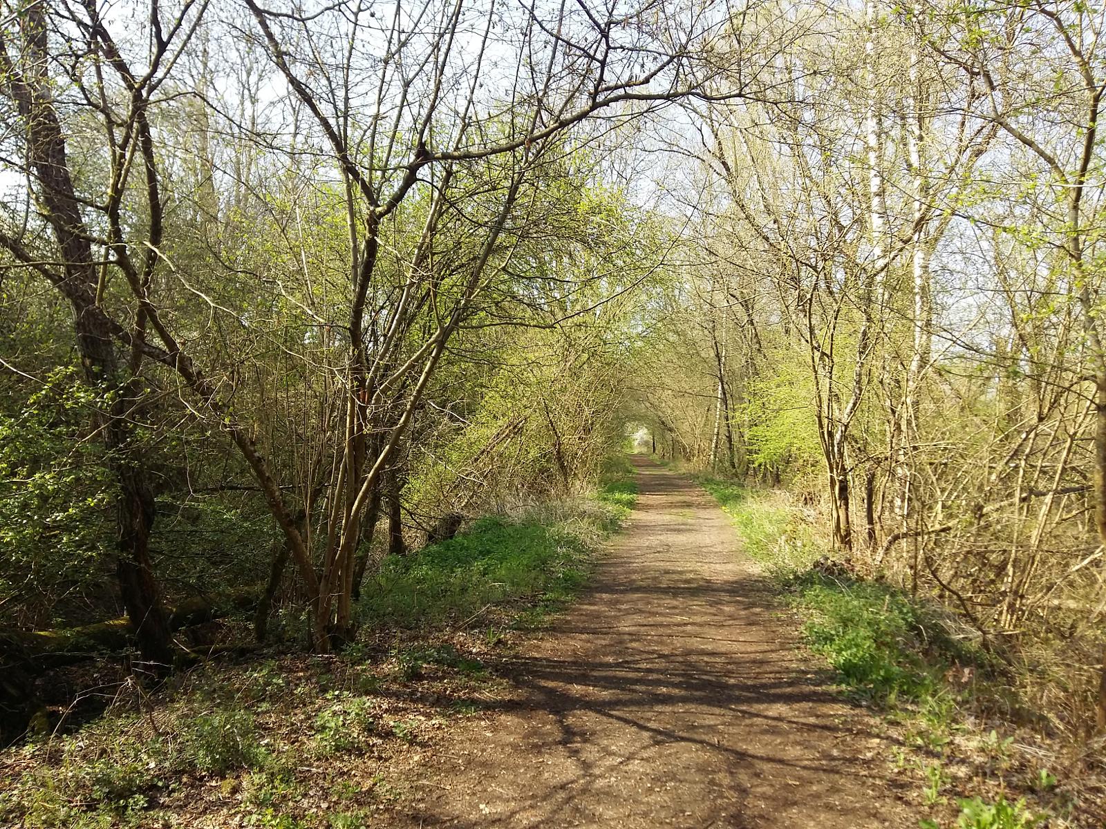
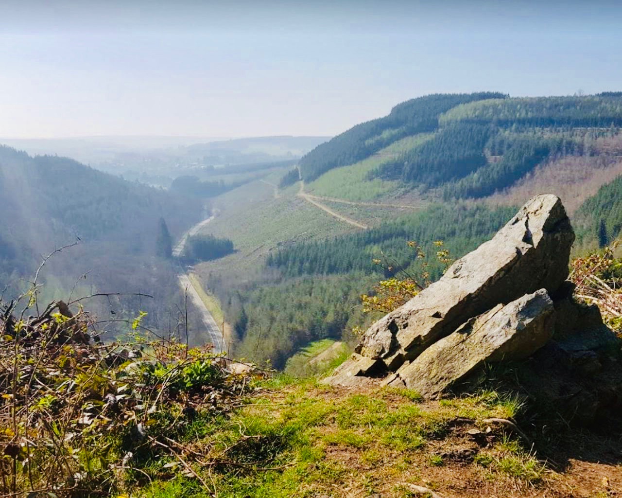
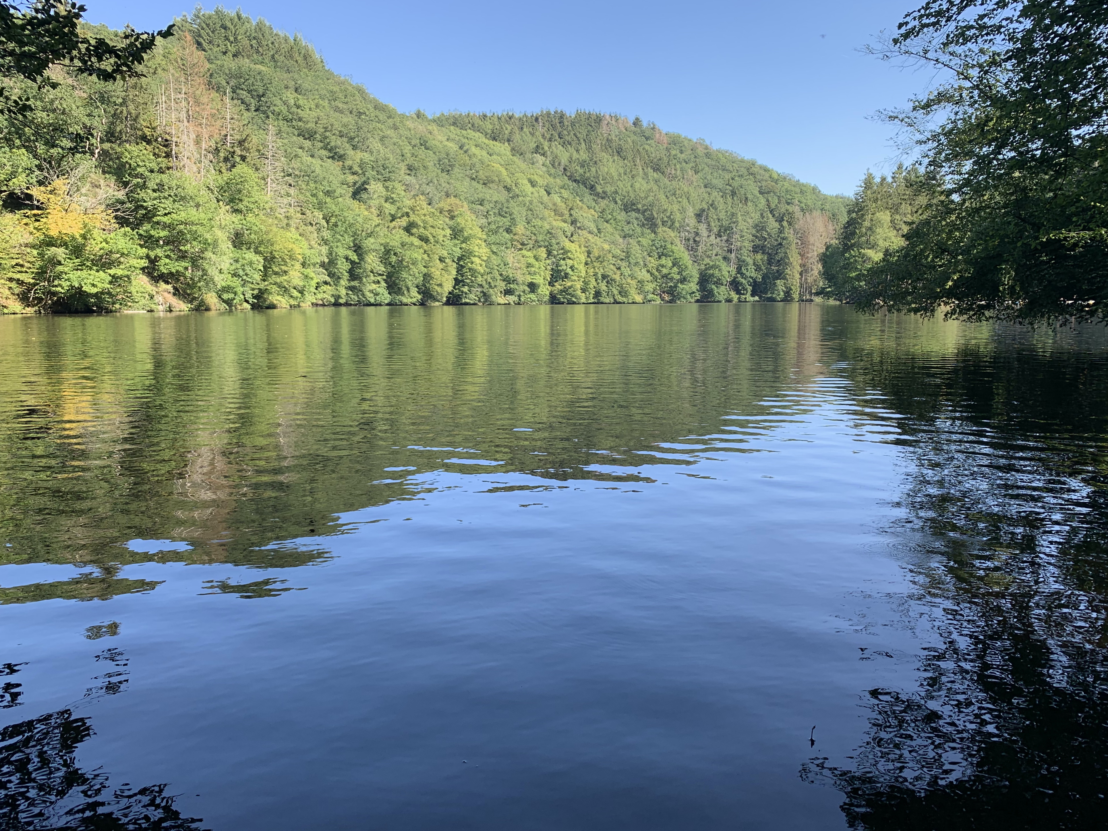
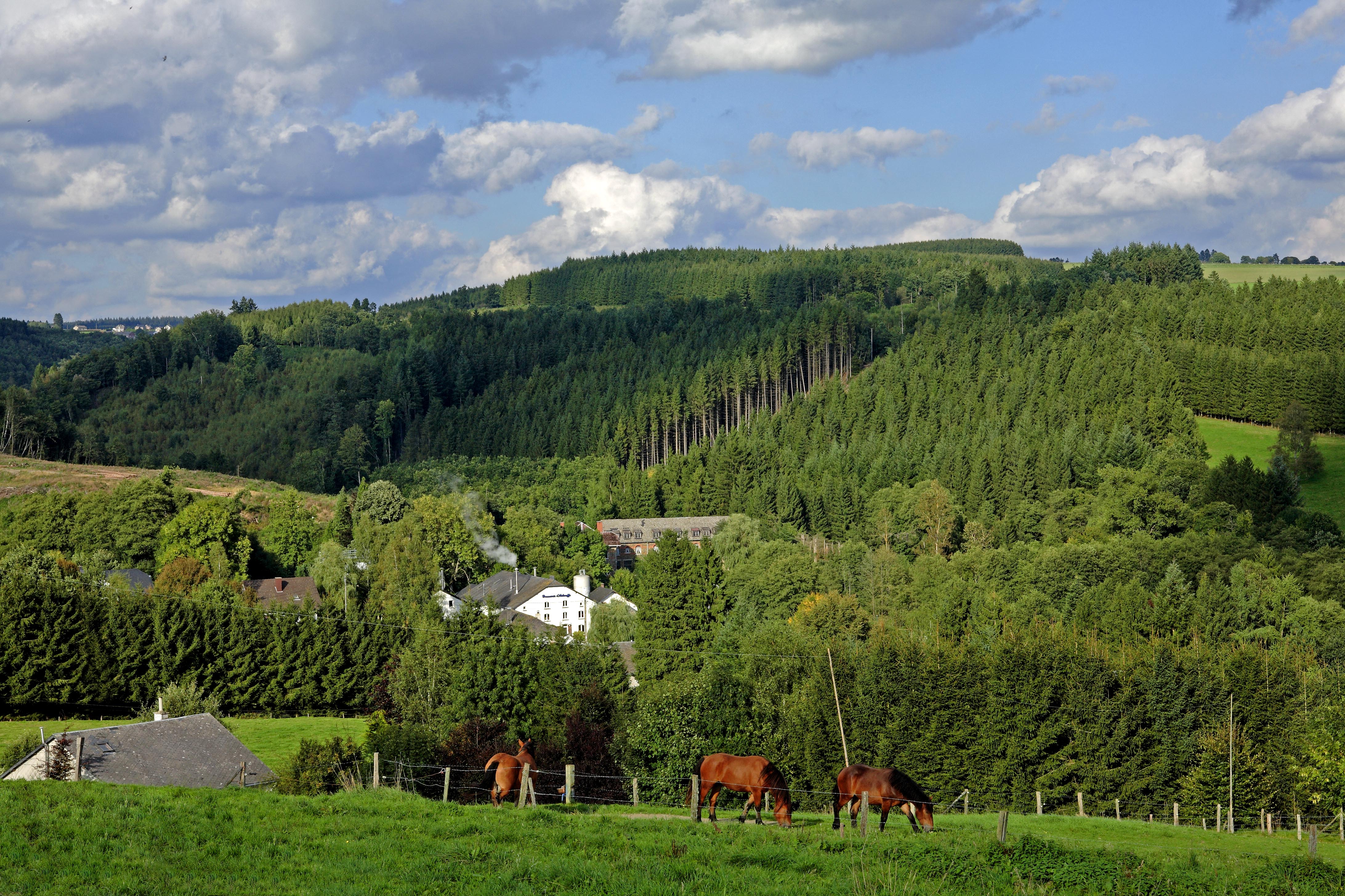
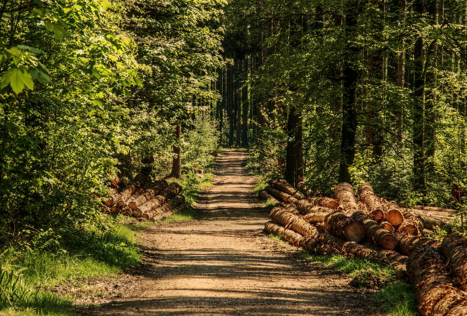
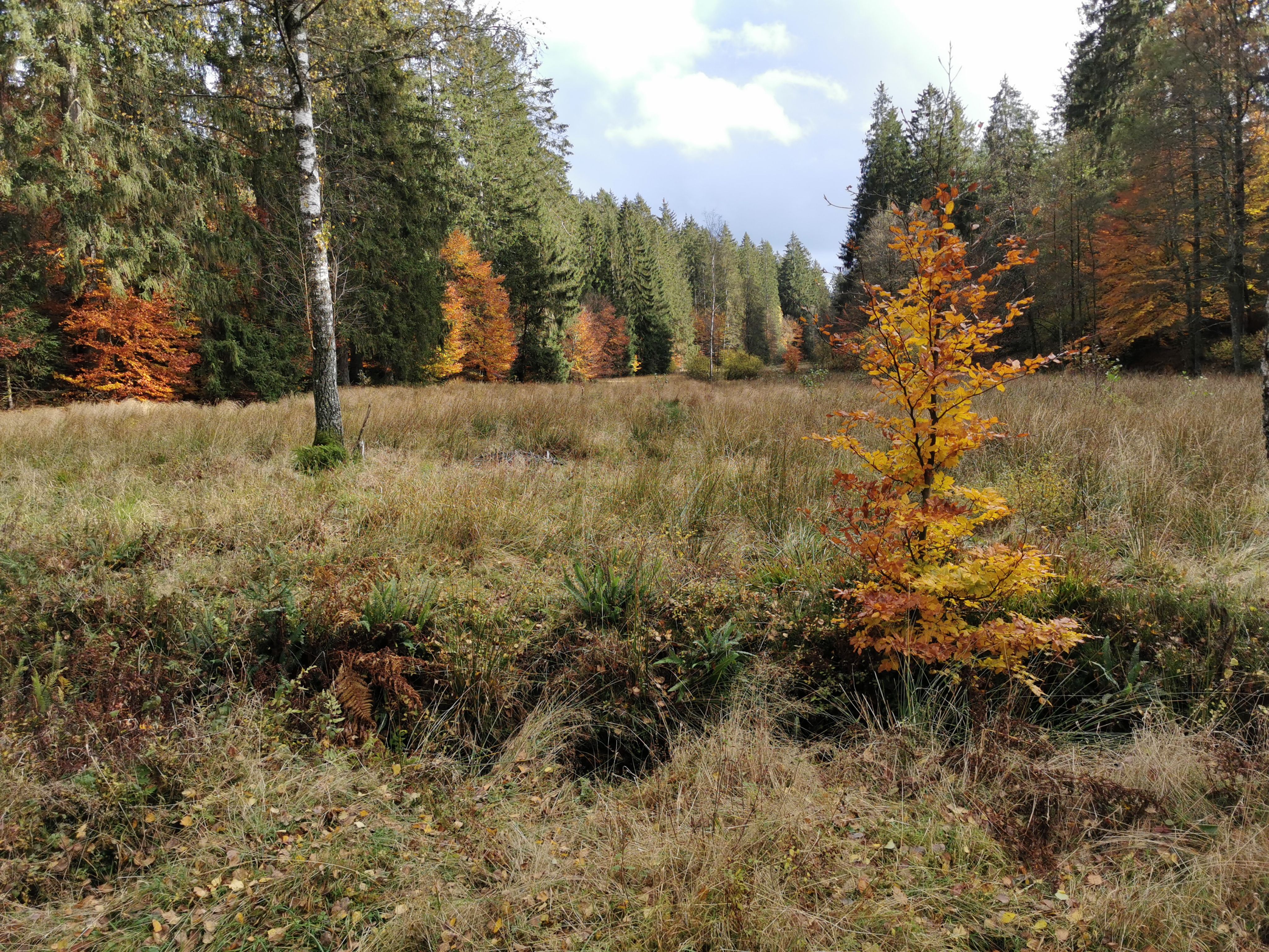
Departing from Martelange, this long and beautiful hike makes a large loop on the heights of the town. The route is mainly through beautiful forests, where calm and birdsong reign, nature takes possession of the place, and you can only appreciate the moment.

Already more than 200,000 users!
Uphill
411m
Highest point
516m
Downhill
411m
Lowest point
365m
Route type
Loop
Download the map on your smartphone to save battery and rest assured to always keep access to the route, even without signal.
Includes IGN France and Swisstopo.
I indicate whether dogs are allowed or prohibited on this trail
All year
0 ratings
Also enjoy:

Already more than 200,000 users!