Uphill
143m
Length
6km
Duration
2h
Elev gain
143m
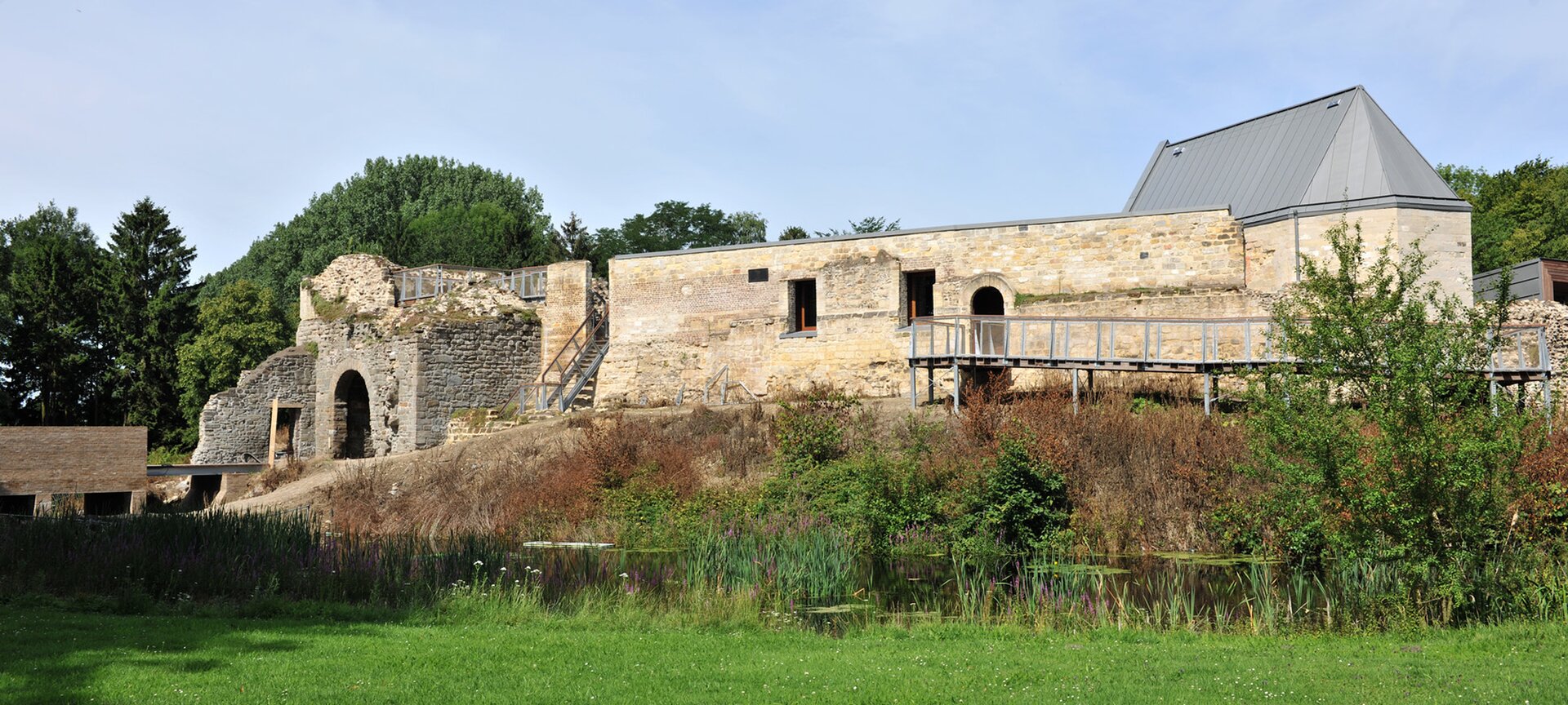
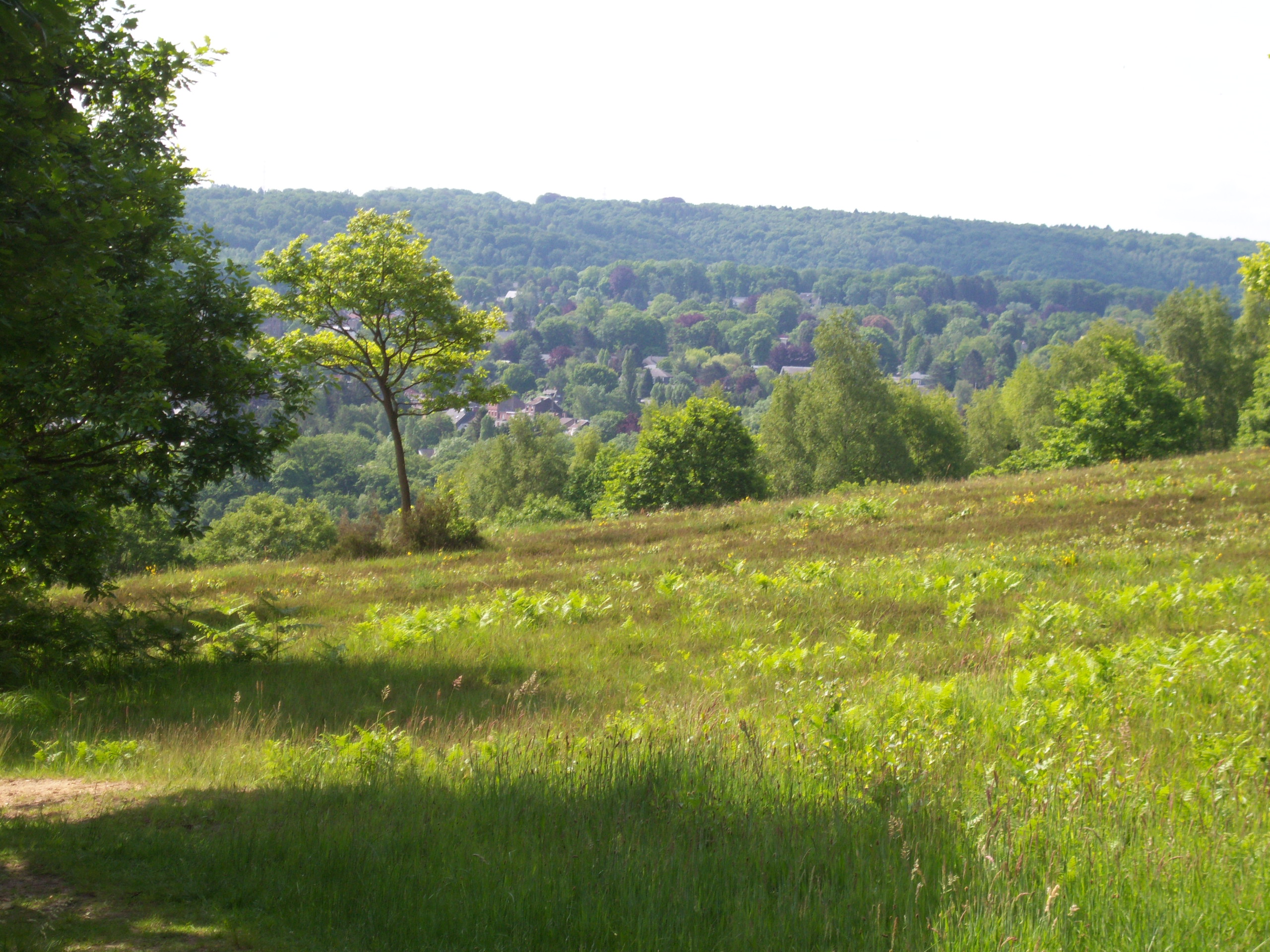
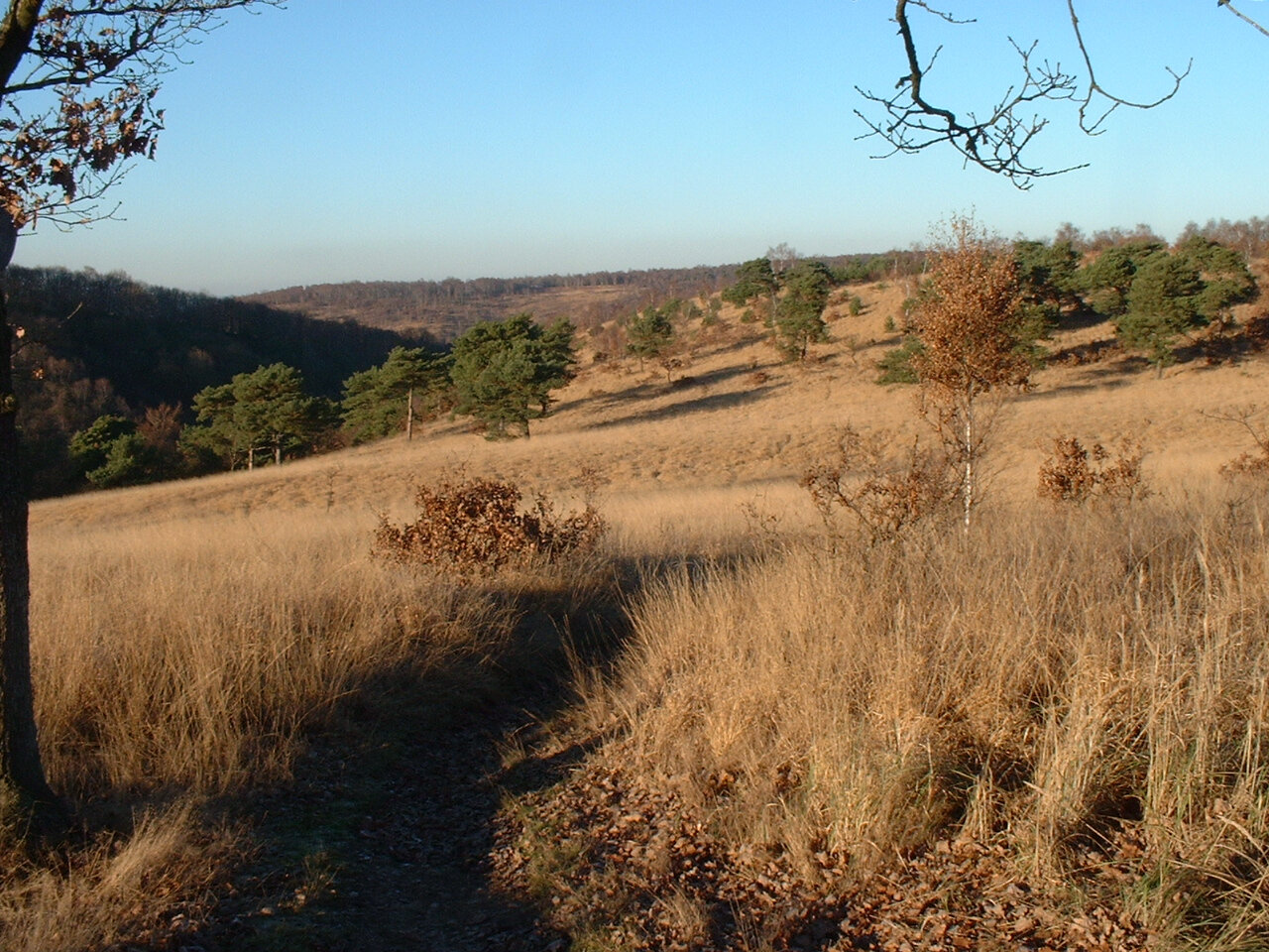
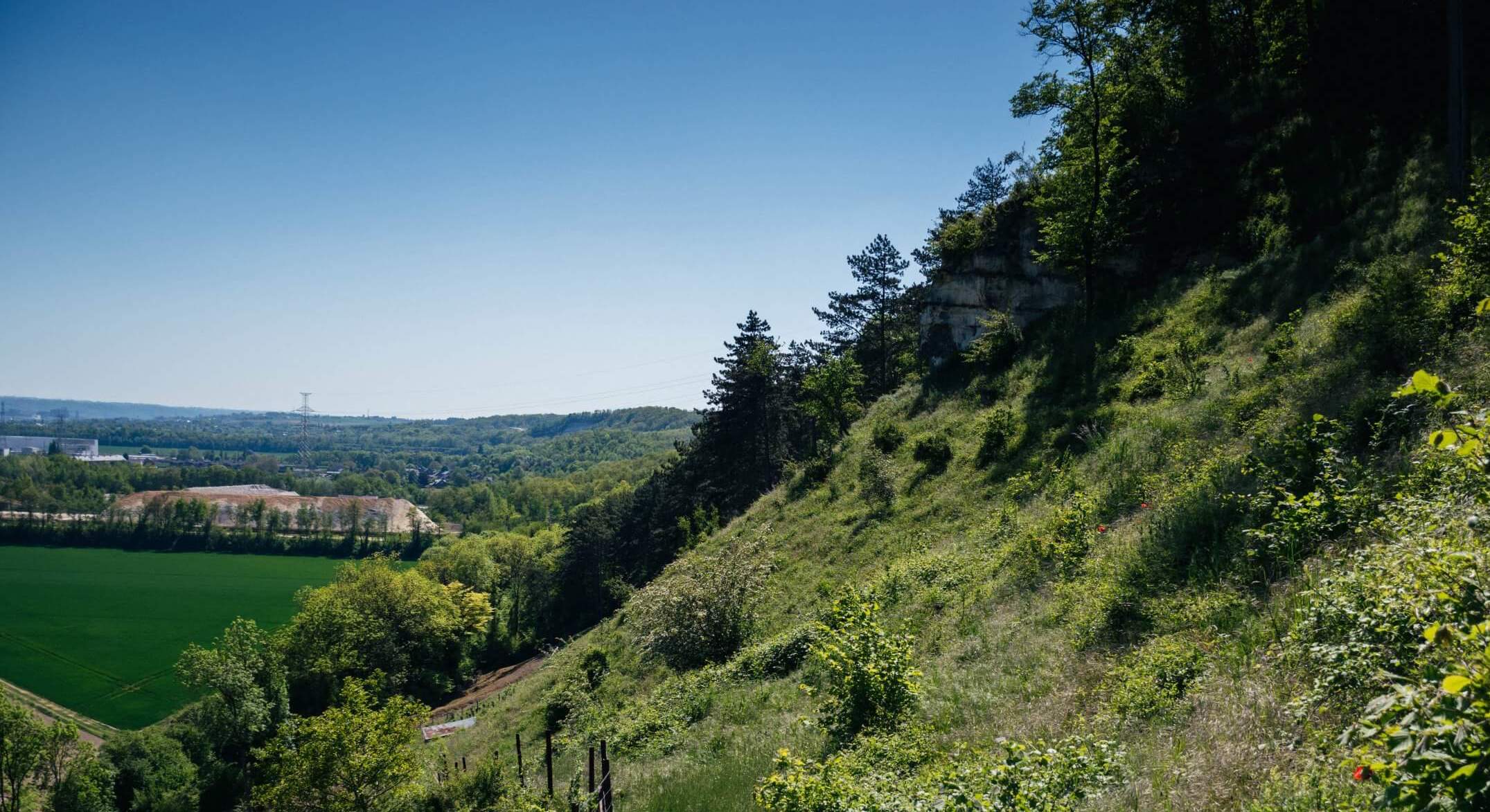
Starting from the Albert canal, this route leads to the beautiful hills bordering the canal and the Meuse, from where there is no shortage of views over the province of Liège. The trail leads to the fort of Ében-Émael, a place steeped in history, then goes around it before returning to the direction of the starting point.

Already more than 200,000 users!
Uphill
143m
Highest point
129m
Downhill
143m
Lowest point
55m
Route type
There and back
Download the map on your smartphone to save battery and rest assured to always keep access to the route, even without signal.
Includes IGN France and Swisstopo.
I indicate whether dogs are allowed or prohibited on this trail
All year
2 ratings
Also enjoy:

Already more than 200,000 users!