Uphill
168m
Length
7km
Duration
2h30min
Elev gain
168m
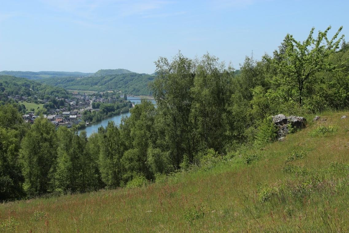
Family walk in the Sclaigneaux nature reserve, very close to the beautiful Andenne. The route makes a loop between forest, meadows and fields, and offers lovely views of the Meuse.
Note, however, that this path can be muddy during periods of heavy rain, and that a shooting range is located nearby, which tends to alter the tranquility of the place.

Already more than 200,000 users!
Uphill
168m
Highest point
188m
Downhill
168m
Lowest point
122m
Route type
Loop
Download the map on your smartphone to save battery and rest assured to always keep access to the route, even without signal.
Includes IGN France and Swisstopo.
Parking at the start of the hike.
Château de Seilles train station nearby.
I indicate whether dogs are allowed or prohibited on this trail
All year
2 ratings
Also enjoy:

Already more than 200,000 users!


