Uphill
72m
Length
4km
Duration
1h
Elev gain
72m
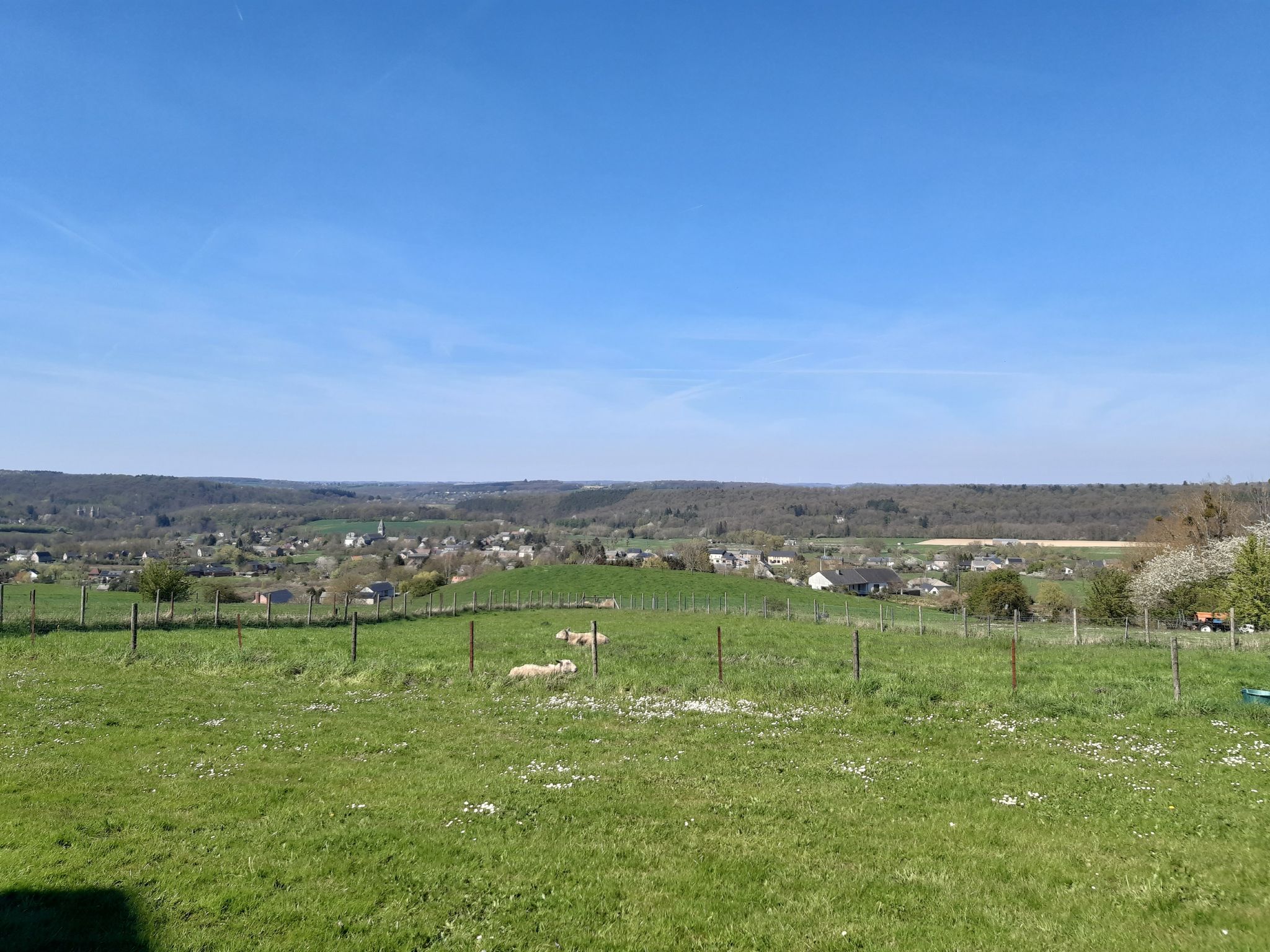
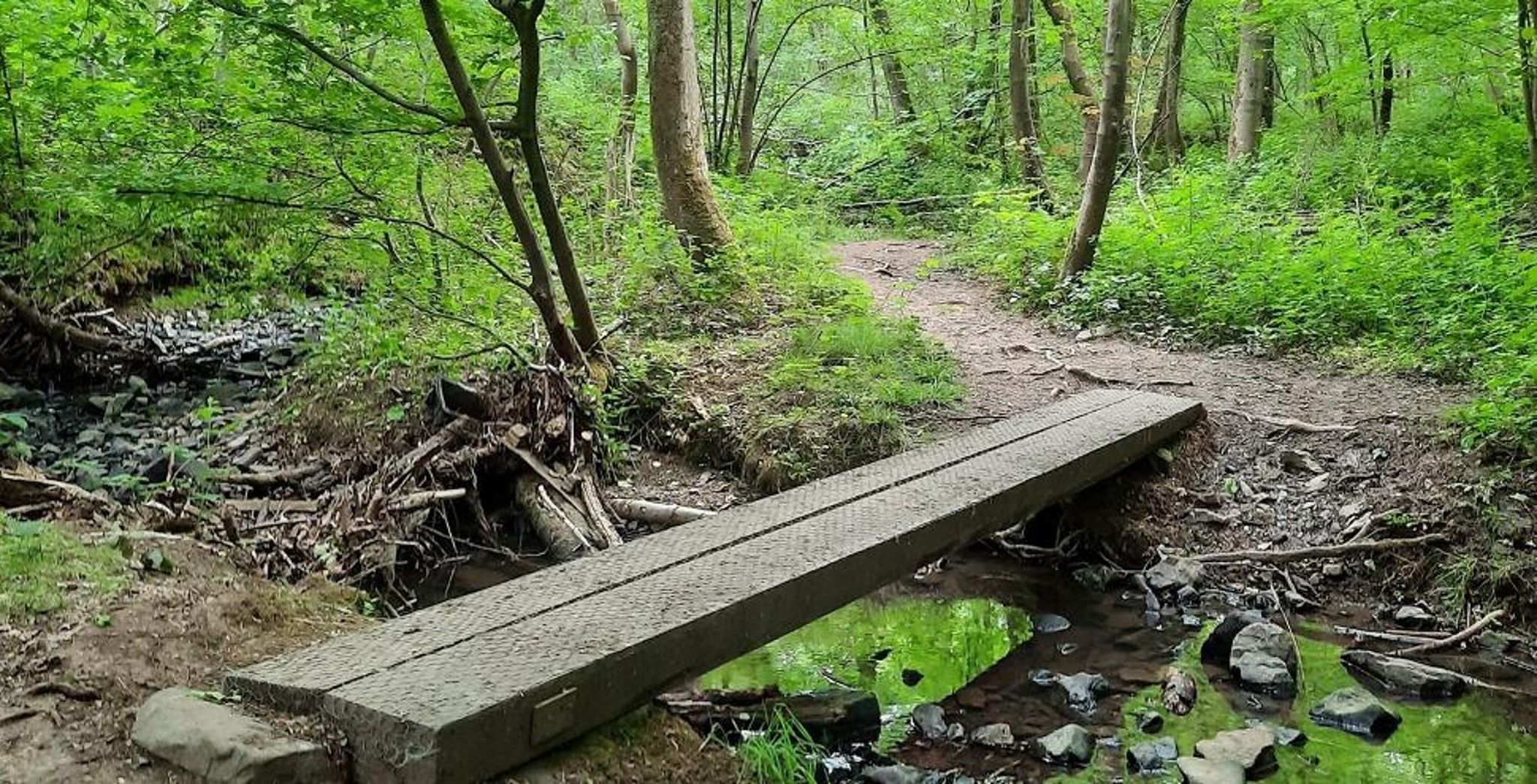
Located north of Ohey, this family walk is short and charming. The route makes a pretty loop in the undergrowth, between small bridges and a stream, in a pleasant and peaceful setting.

Already more than 200,000 users!
Uphill
72m
Highest point
272m
Downhill
72m
Lowest point
217m
Route type
Loop
Download the map on your smartphone to save battery and rest assured to always keep access to the route, even without signal.
Includes IGN France and Swisstopo.
2 ratings
Also enjoy:

Already more than 200,000 users!