Uphill
489m
Belgium > Wallonia > Liège > Hautes Fagnes-Eifel Nature Park
Length
14km
Duration
5h
Elev gain
489m
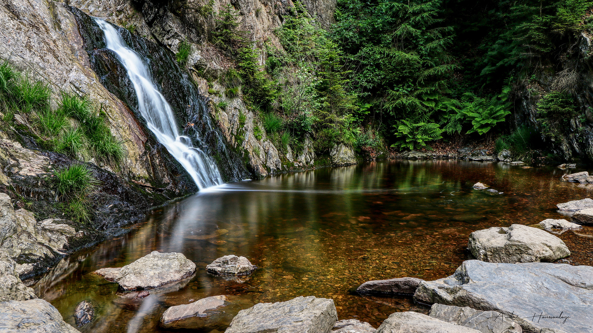
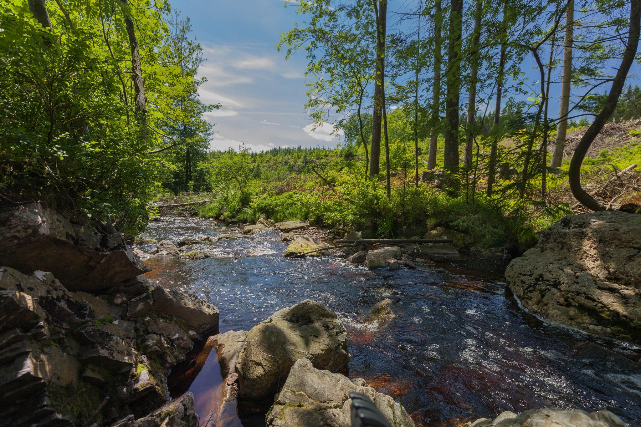
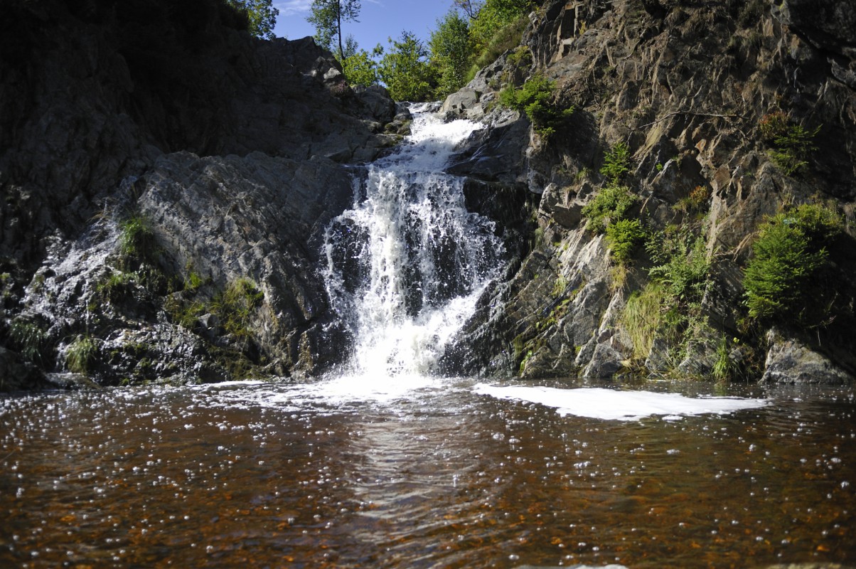
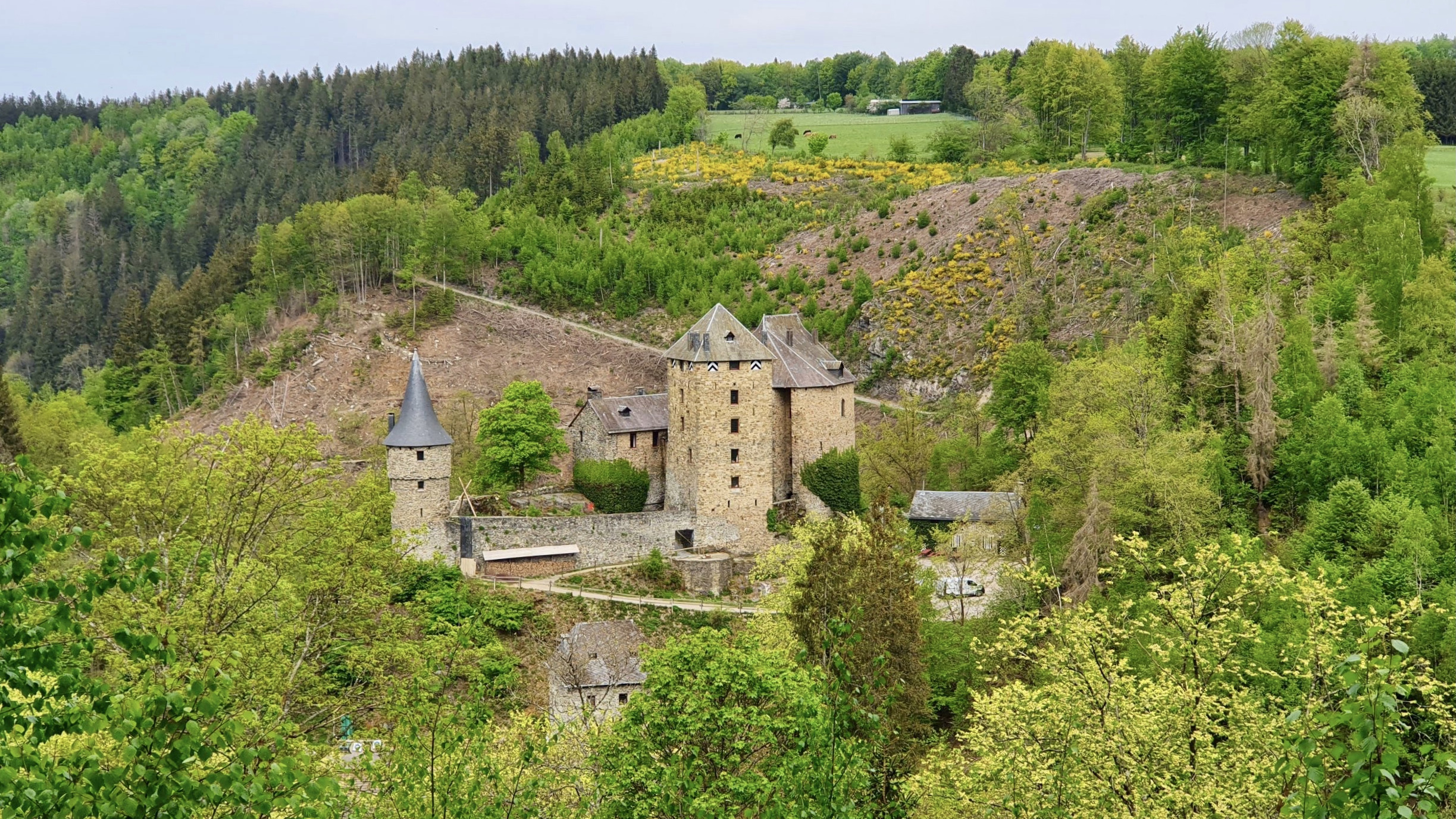
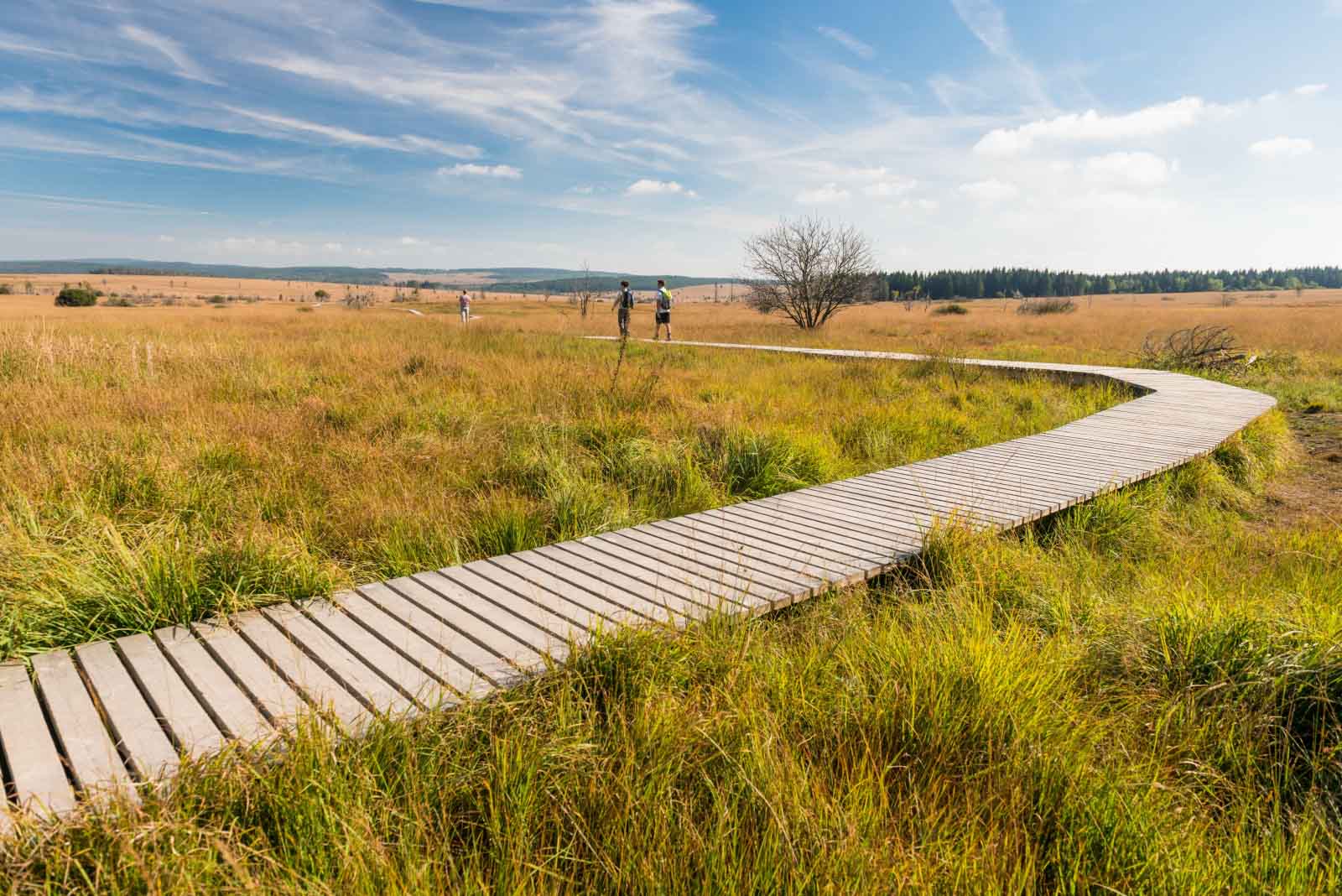
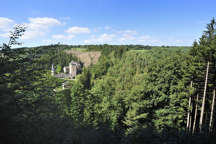
Here is a superb hike around Xhoffraix, a village located on the Hautes Fagnes. This route begins by reaching the castle of Reinhardstein, then continues on the ridges overlooking the Warche, on the edge between forest and fields.

Already more than 200,000 users!
Uphill
489m
Highest point
526m
Downhill
489m
Lowest point
354m
Route type
Loop
Download the map on your smartphone to save battery and rest assured to always keep access to the route, even without signal.
Includes IGN France and Swisstopo.
1 rating
Also enjoy:

Already more than 200,000 users!