Uphill
228m
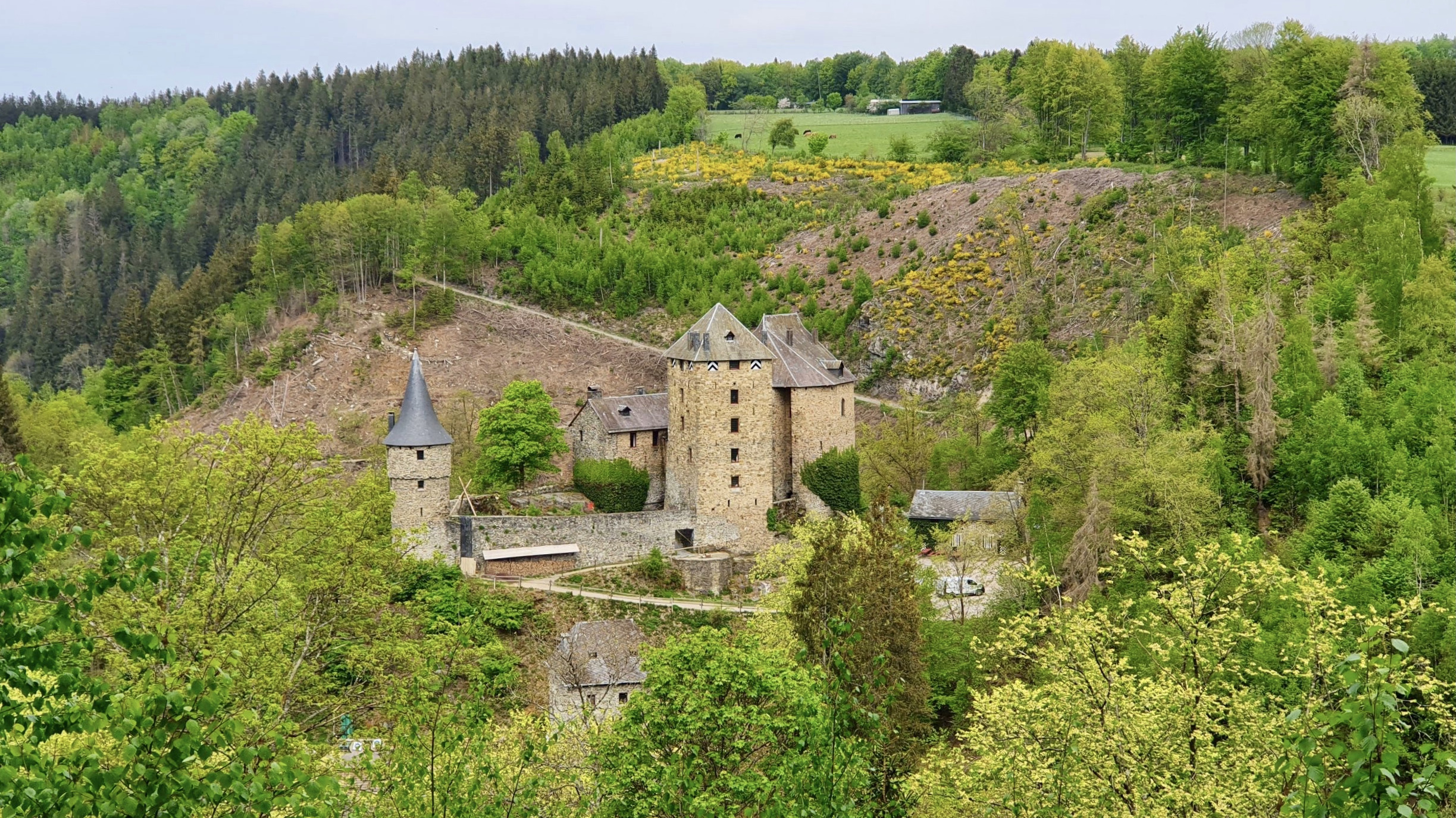
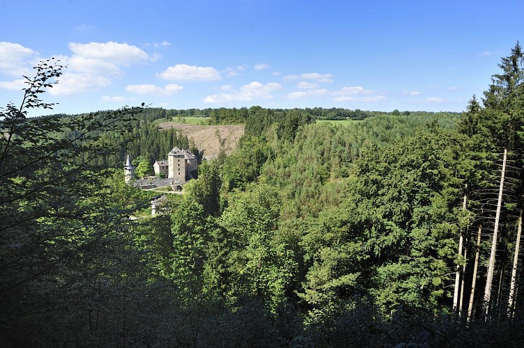
Belgium > Wallonia > Liège > Hautes Fagnes-Eifel Nature Park
Length
9km
Duration
3h
Elev gain
228m
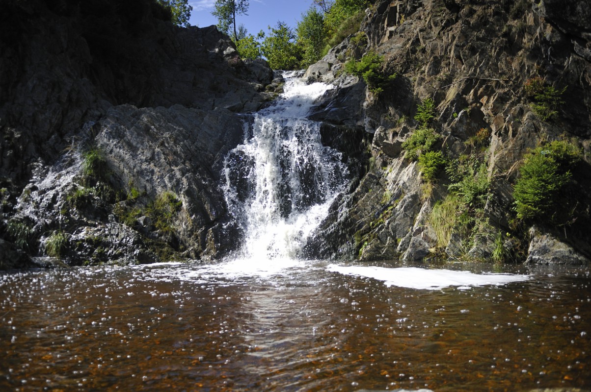
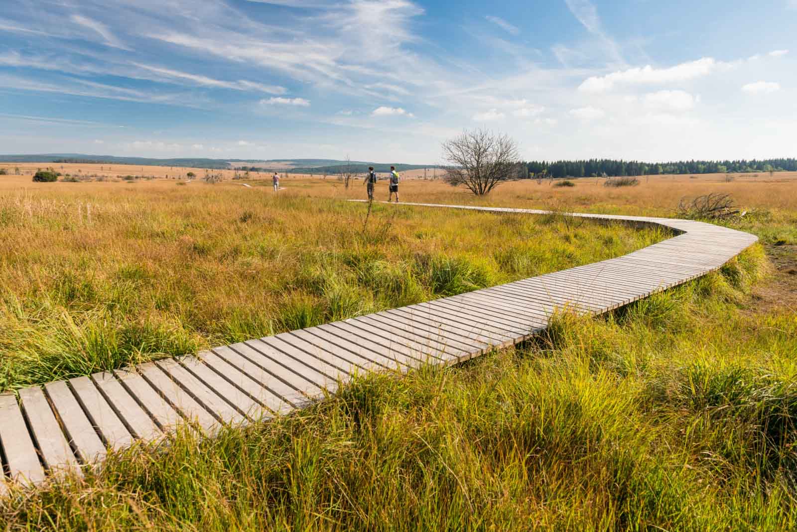
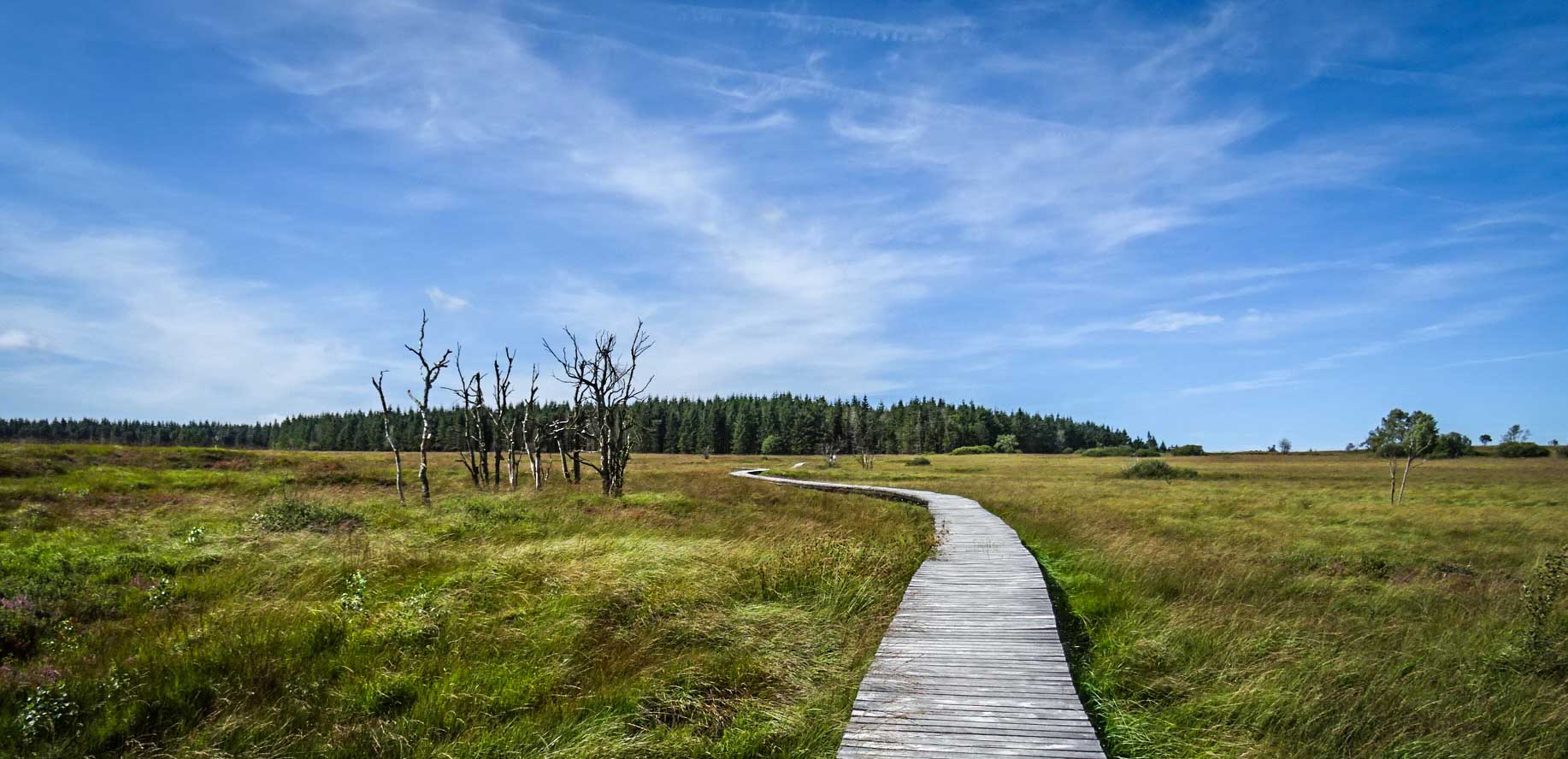
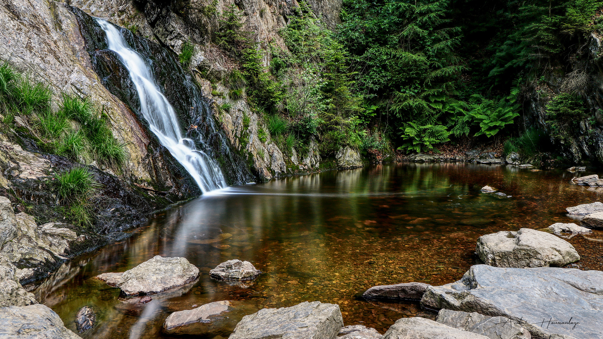
Here is a superb hike in the Hautes Fagnes. The route is punctuated by small wooden bridges, waterfalls and picnic tables to eat. A magical place that offers superb varied landscapes typical of the Bayehon and Pouhon valleys.

Already more than 200,000 users!
Uphill
228m
Highest point
611m
Downhill
228m
Lowest point
441m
Route type
Loop
Download the map on your smartphone to save battery and rest assured to always keep access to the route, even without signal.
Includes IGN France and Swisstopo.
3 ratings
Also enjoy:

Already more than 200,000 users!