Uphill
112m
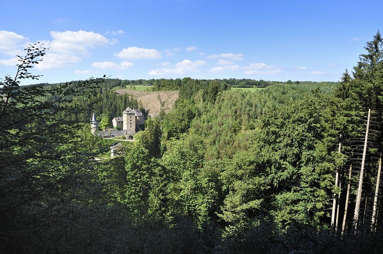
Belgium > Wallonia > Liège > Hautes Fagnes-Eifel Nature Park
Length
9km
Duration
2h30min
Elev gain
112m
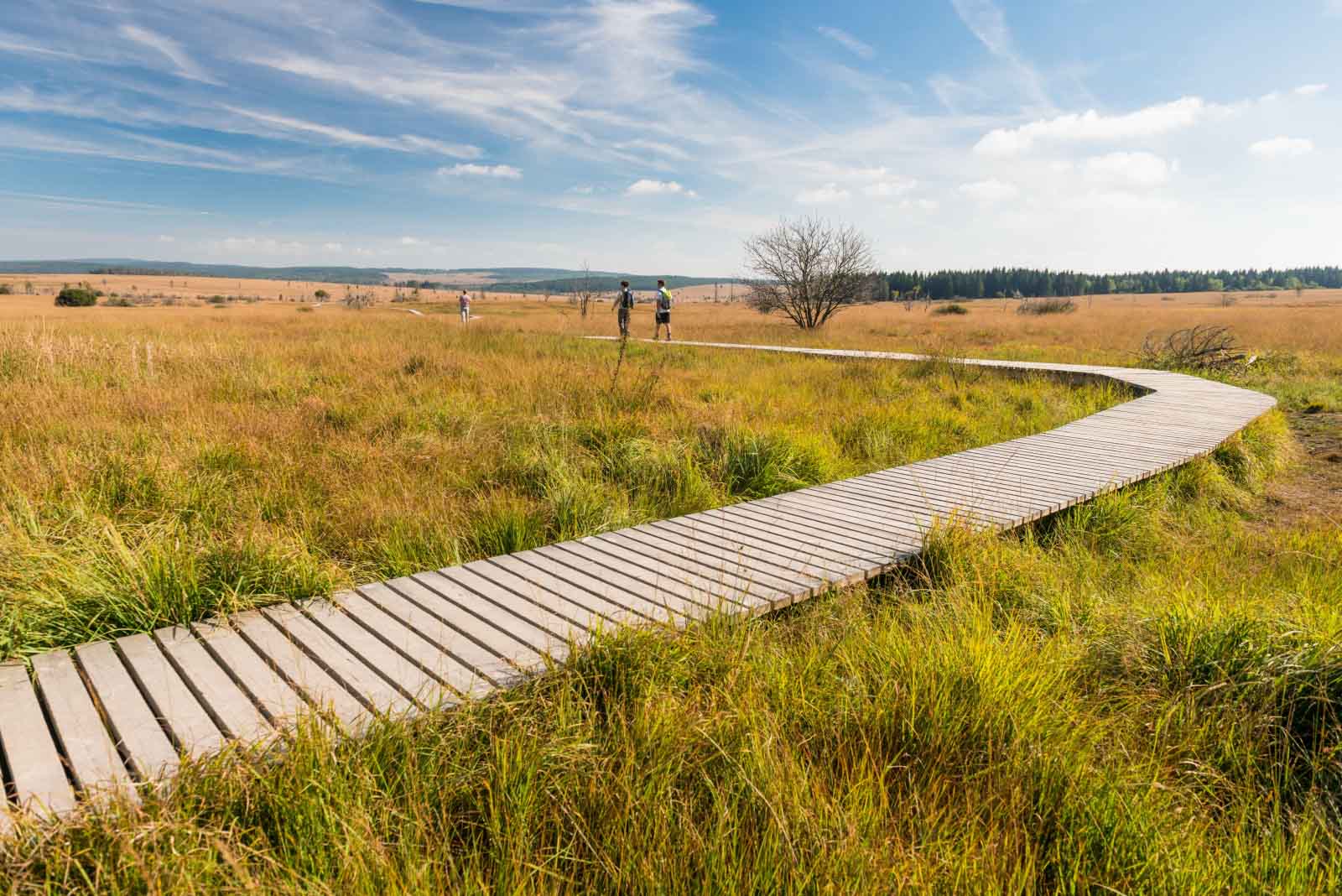
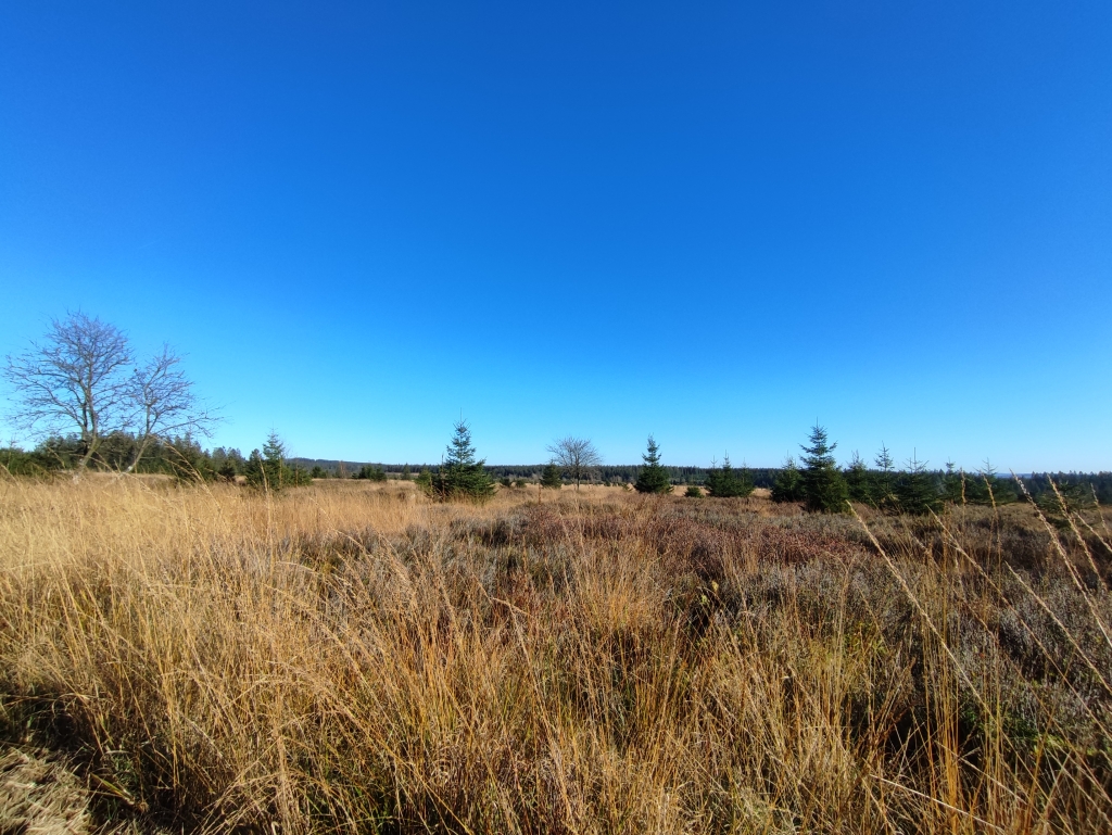
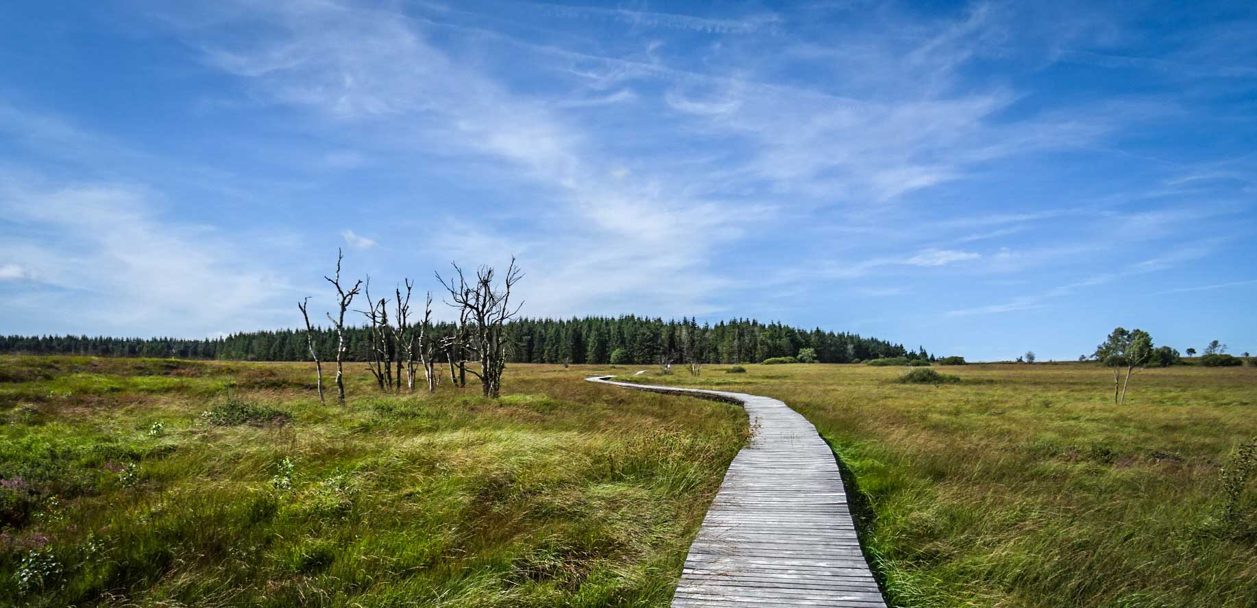
Pretty walk starting at the Signal de Botrange, the highest point in Belgium located at 694 meters, on the edge of the Hautes Fagnes-Eiffel nature reserve. The path winds between forest and moors and joins the barrack Michel, a hamlet which owes its name to the inn which was established there at the beginning of the 19th century.

Already more than 200,000 users!
Uphill
112m
Highest point
696m
Downhill
112m
Lowest point
623m
Route type
Loop
Download the map on your smartphone to save battery and rest assured to always keep access to the route, even without signal.
Includes IGN France and Swisstopo.
I indicate whether dogs are allowed or prohibited on this trail
All year
7 ratings
Also enjoy:

Already more than 200,000 users!