Uphill
142m
Length
11km
Duration
3h
Elev gain
142m
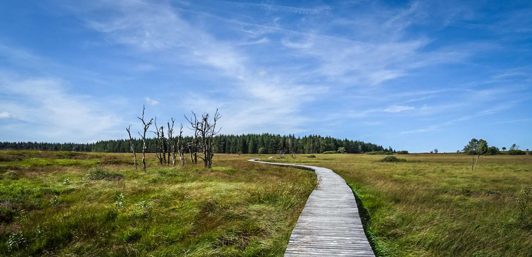
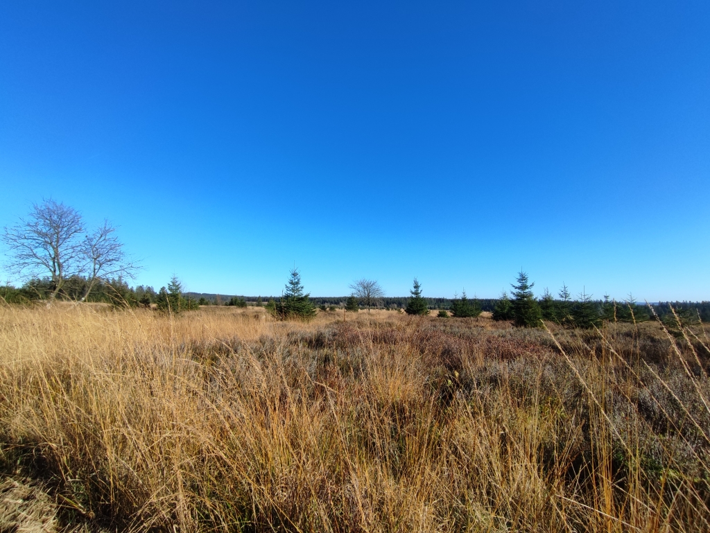
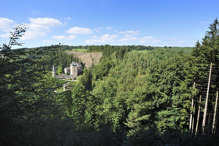
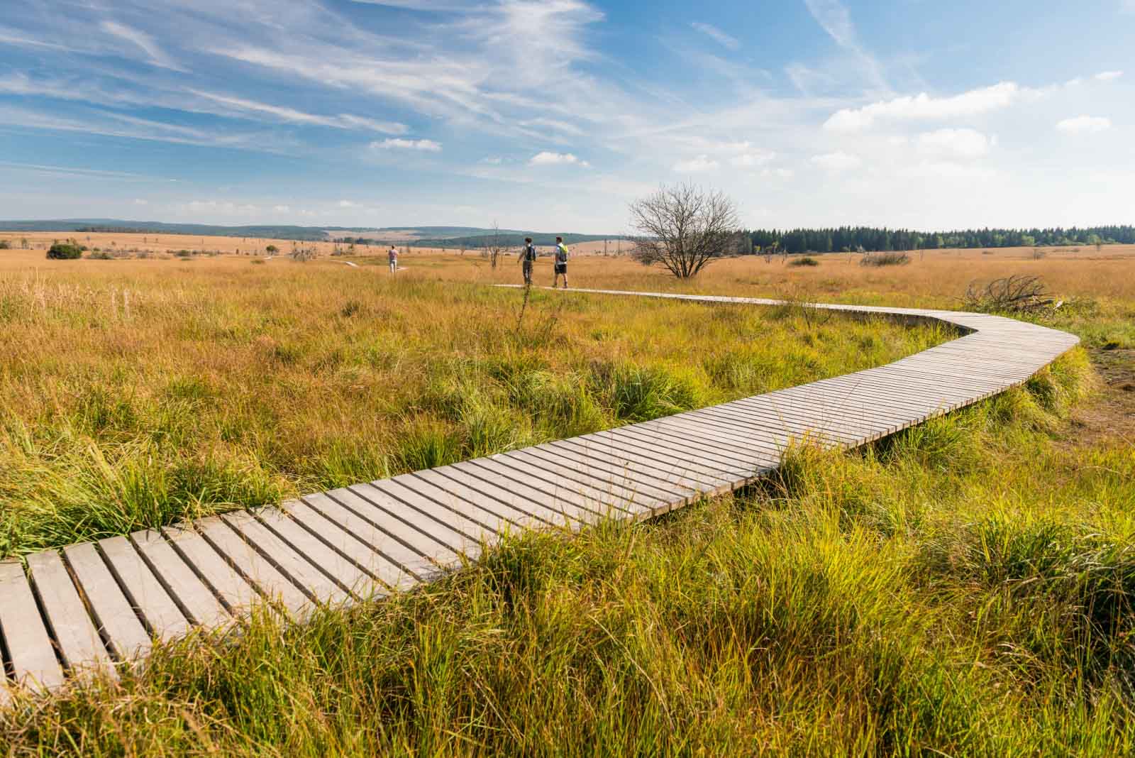
Departing from the Botrange signal, this walk makes a loop in the Walloon Fagne, a high Ardennes plateau essentially made up of moors and peat bogs located on the Hautes Fagnes plateau.

Already more than 200,000 users!
Uphill
142m
Highest point
690m
Downhill
142m
Lowest point
579m
Route type
Loop
Download the map on your smartphone to save battery and rest assured to always keep access to the route, even without signal.
Includes IGN France and Swisstopo.
4 ratings
Magnifique mais a eviter quand le soleil tape trop fort..car fort exposer.
Also enjoy:

Already more than 200,000 users!