Uphill
1116m
France > Auvergne-Rhône-Alpes > Savoie > Massif des Bauges Regional Natural Park
Length
12km
Duration
7h30min
Elev gain
1116m
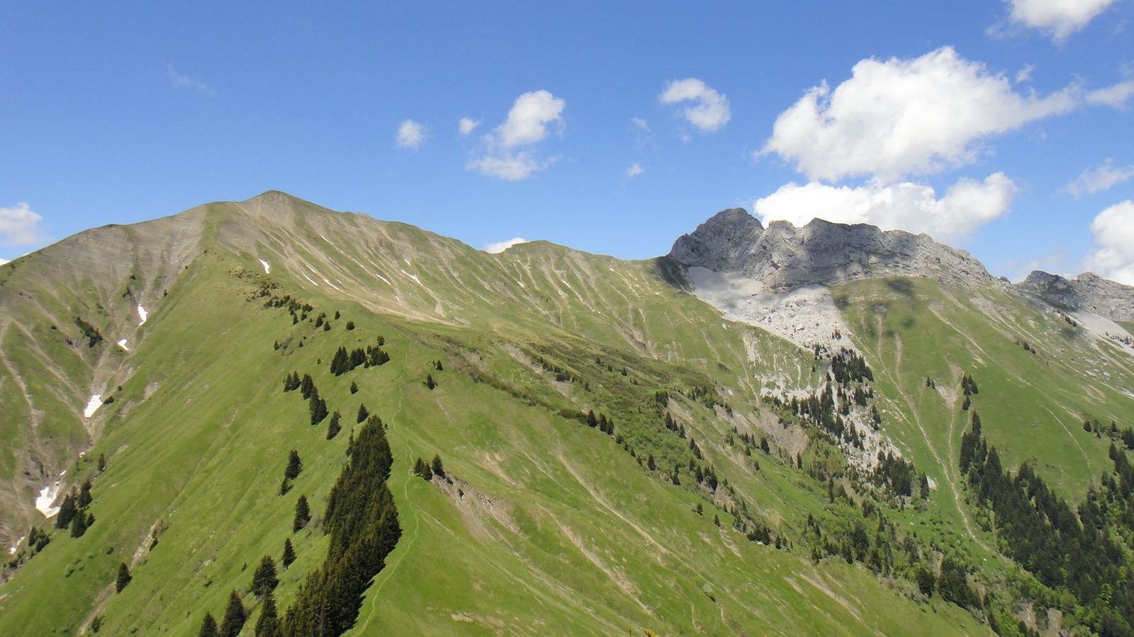
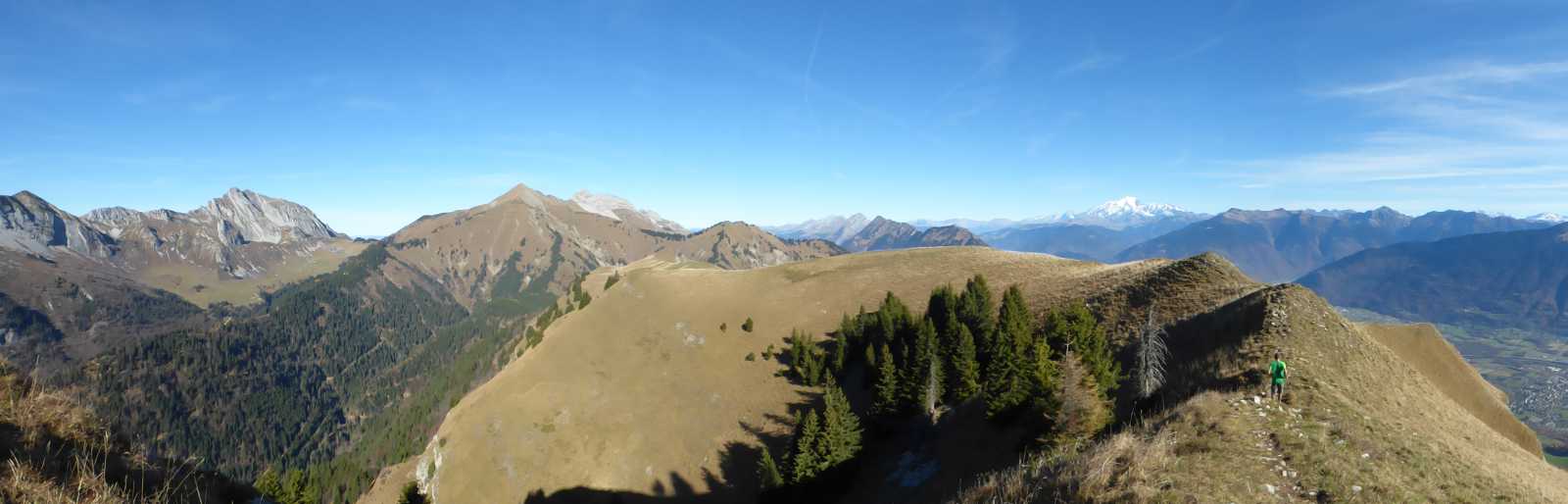
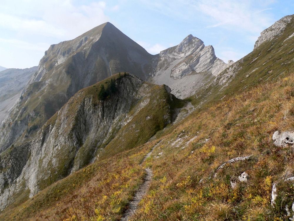
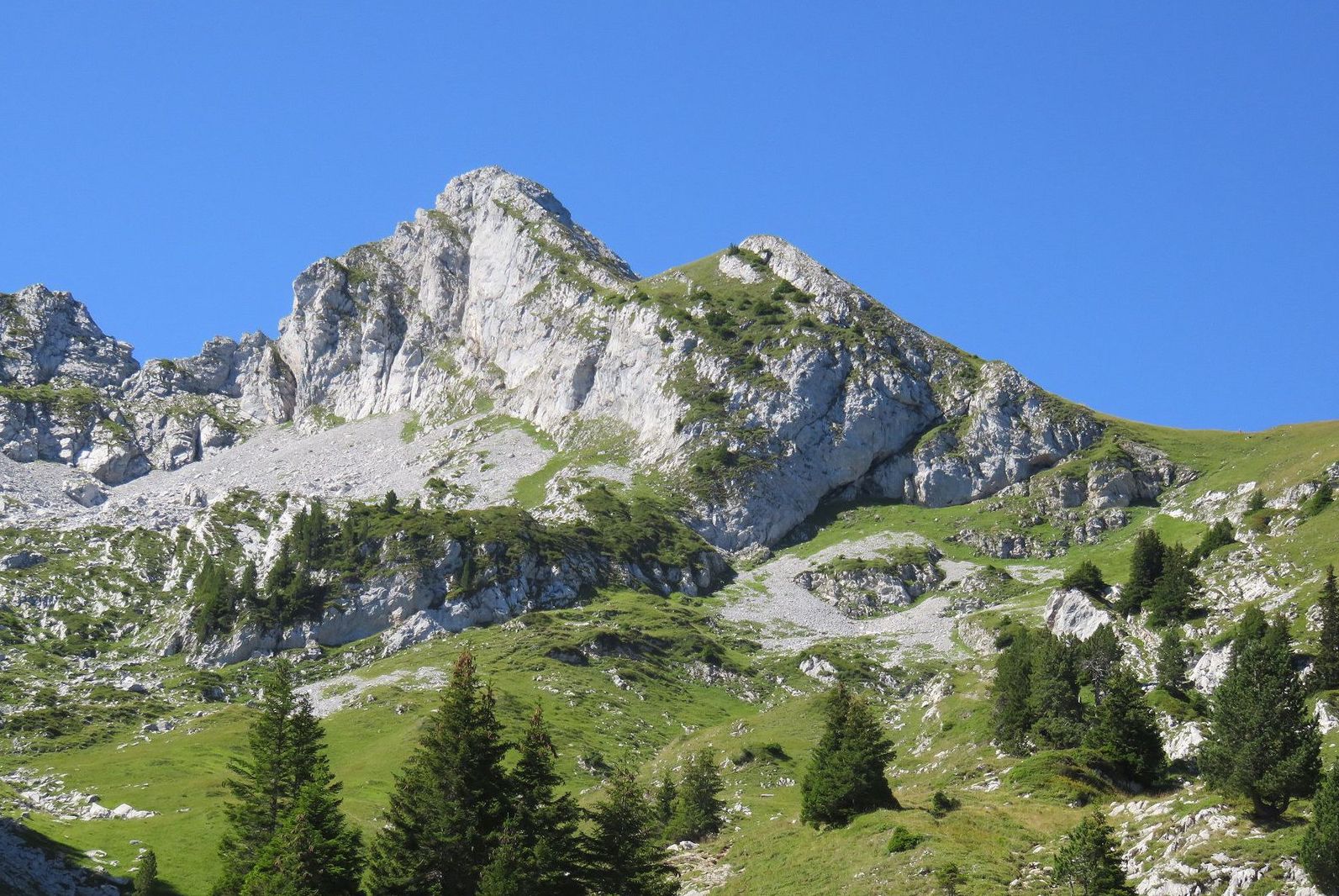
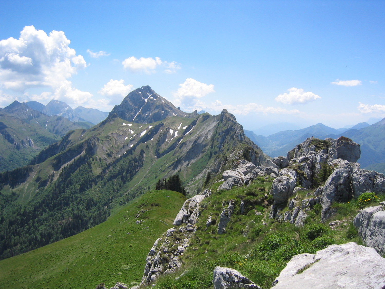
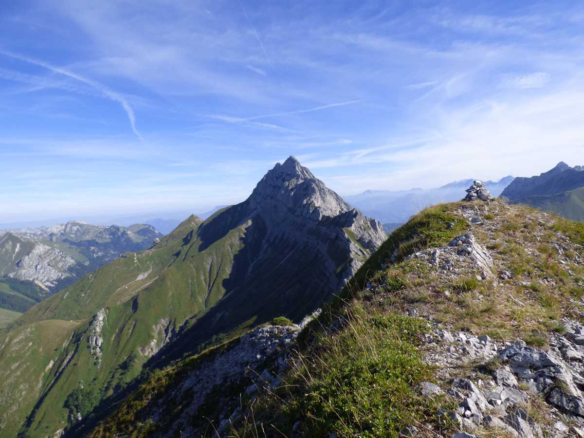
Difficult hike to reach the highest point of the Bauges, sometimes using hands. As some portions are exposed to falling rocks, wearing a helmet is highly recommended.

Already more than 200,000 users!
Uphill
1116m
Highest point
2137m
Downhill
1116m
Lowest point
1017m
Route type
There and back
Download the map on your smartphone to save battery and rest assured to always keep access to the route, even without signal.
Includes IGN France and Swisstopo.
I indicate whether dogs are allowed or prohibited on this trail
From May to September
0 ratings
Also enjoy:

Already more than 200,000 users!