Uphill
1013m
France > Auvergne-Rhône-Alpes > Haute-Savoie > Massif des Bauges Regional Natural Park
Length
13km
Duration
7h
Elev gain
1013m
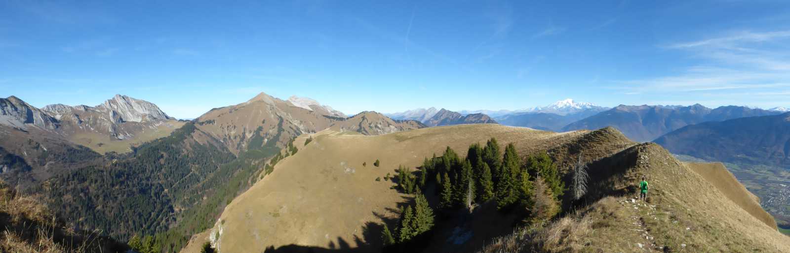
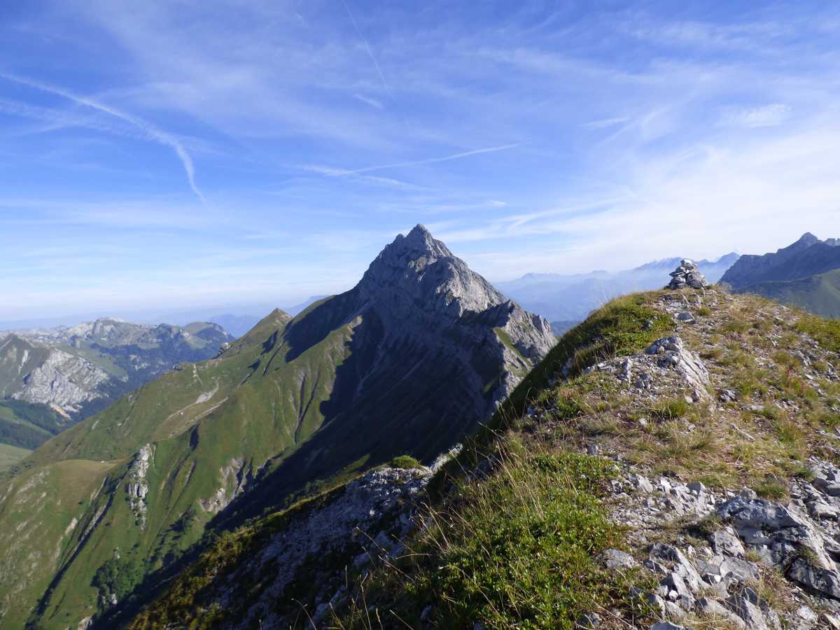
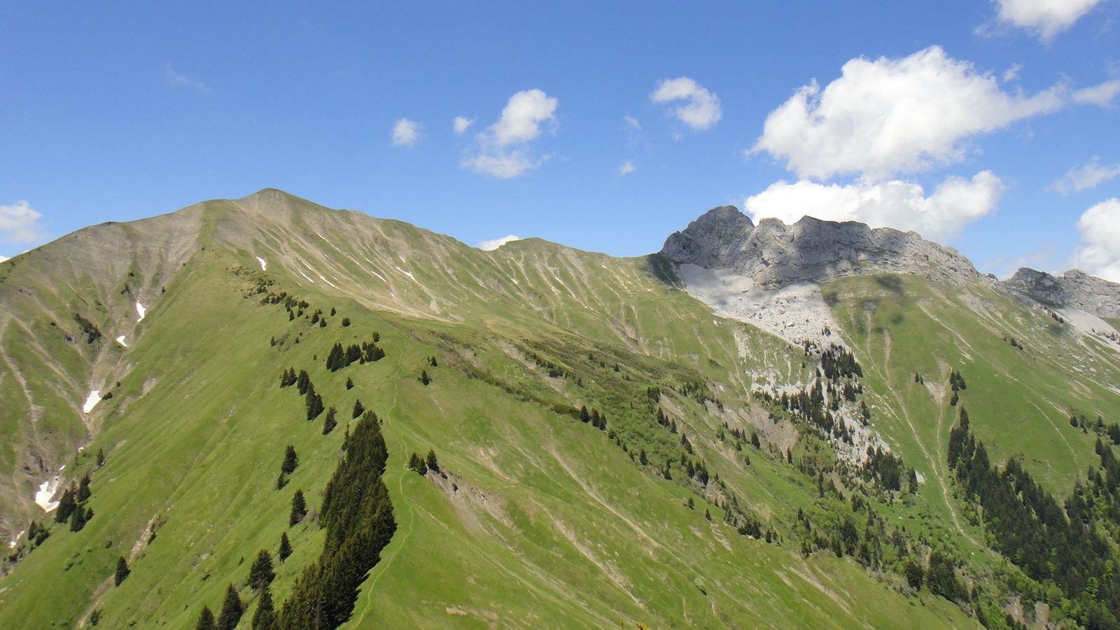
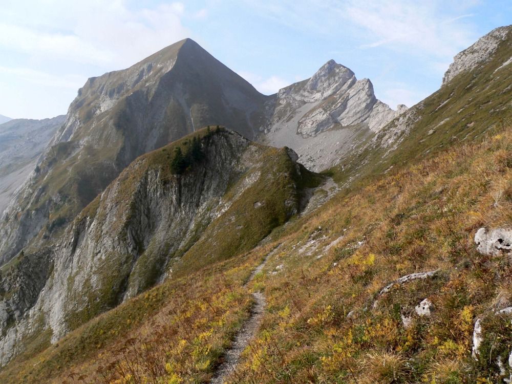
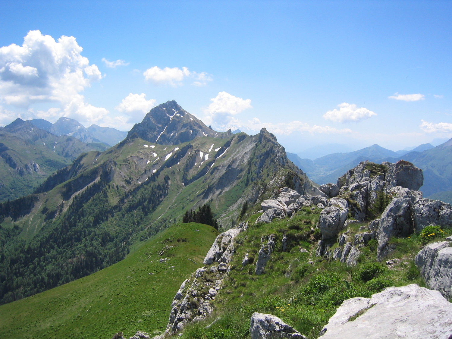
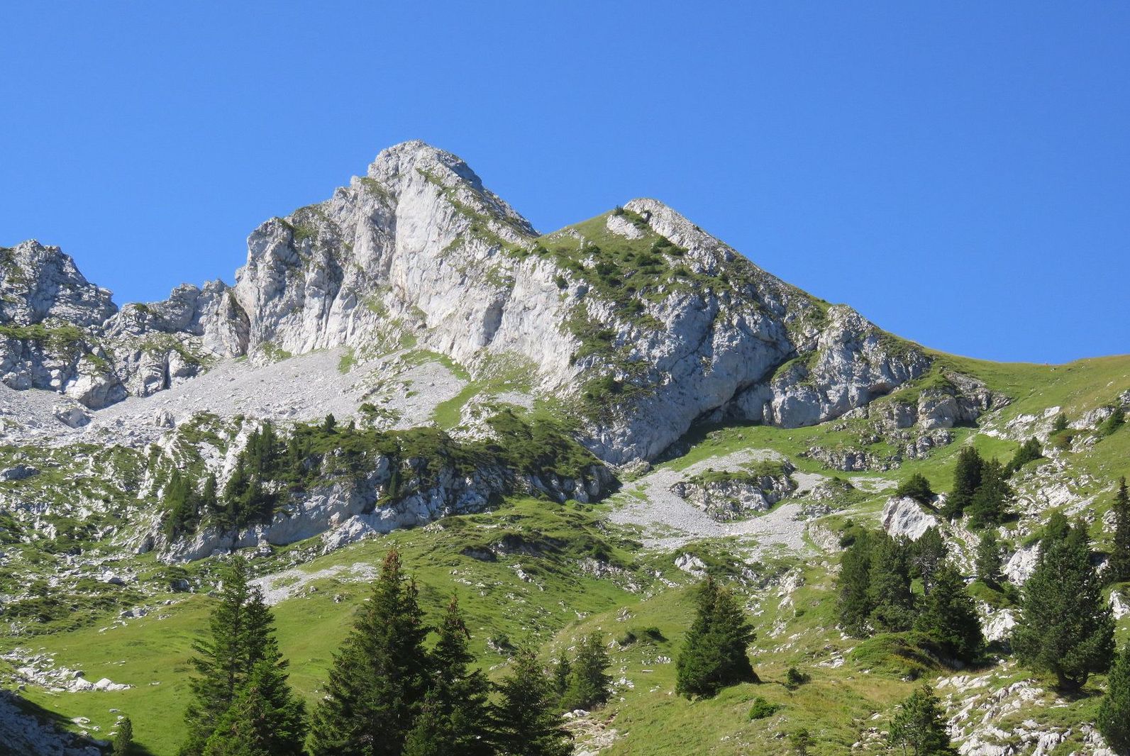
Loop leading to the Pointe de la Sambuy (2,198m) via the Pas de l'Ours. The climb is physical and technical, but once at the top, the view is very pretty. The descent takes place near a chairlift.

Already more than 200,000 users!
Uphill
1013m
Highest point
2130m
Downhill
1013m
Lowest point
1164m
Route type
Loop
Download the map on your smartphone to save battery and rest assured to always keep access to the route, even without signal.
Includes IGN France and Swisstopo.
I indicate whether dogs are allowed or prohibited on this trail
From May to September
0 ratings
Also enjoy:

Already more than 200,000 users!