Uphill
1422m
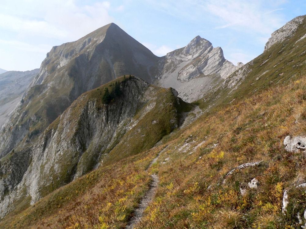
France > Auvergne-Rhône-Alpes > Savoie > Massif des Bauges Regional Natural Park
Length
20km
Duration
10h
Elev gain
1422m
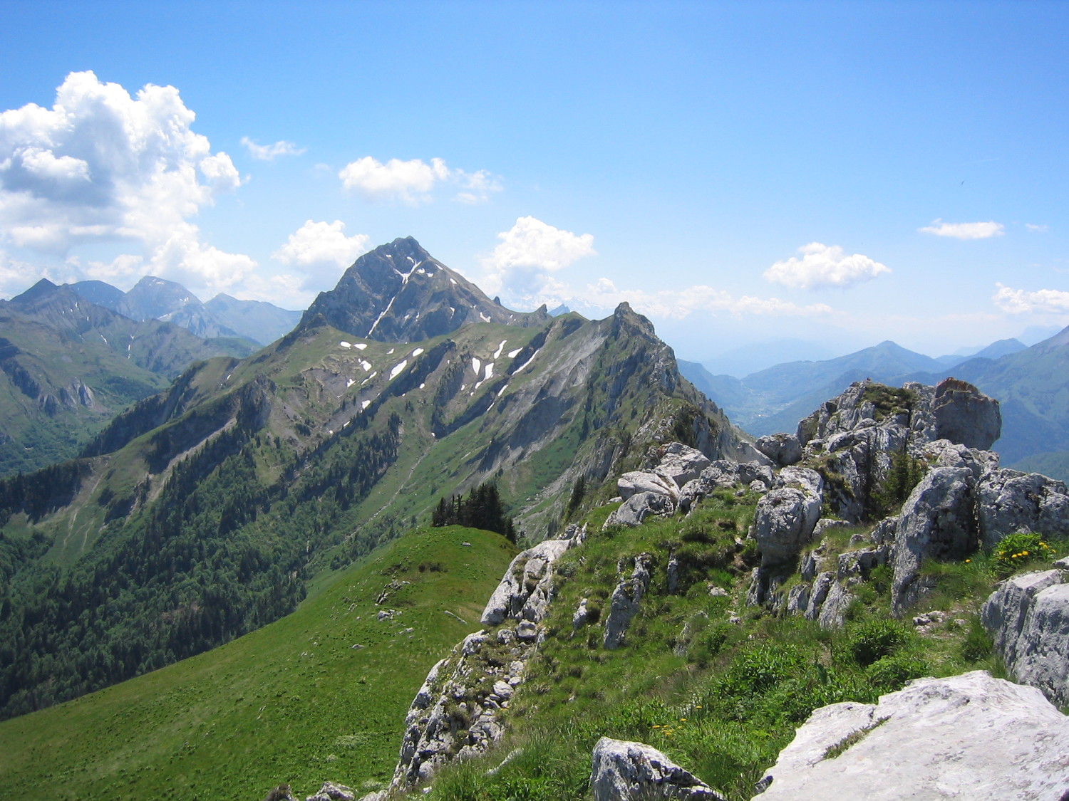
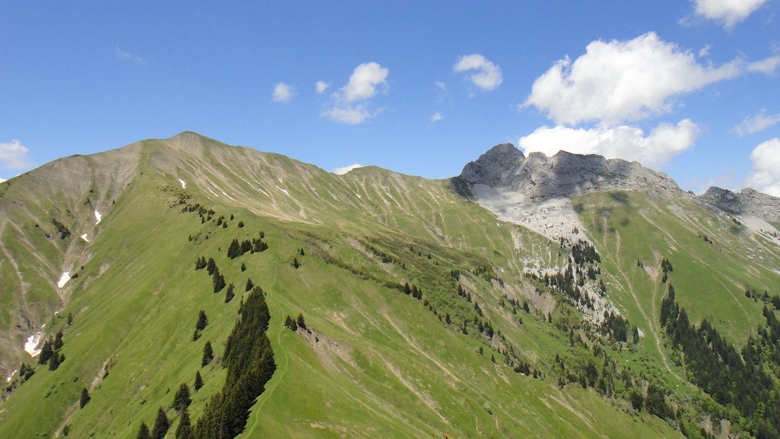
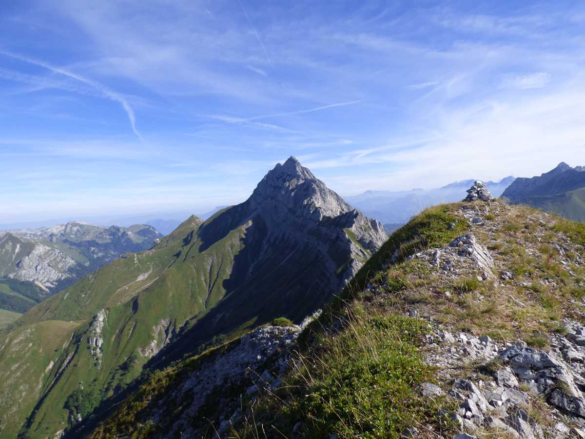
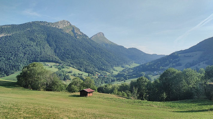
Long loop hike through the Mont de la Coche, and several passes offering superb panoramas.

Already more than 200,000 users!
Uphill
1422m
Highest point
2001m
Downhill
1422m
Lowest point
986m
Route type
Loop
Download the map on your smartphone to save battery and rest assured to always keep access to the route, even without signal.
Includes IGN France and Swisstopo.
I indicate whether dogs are allowed or prohibited on this trail
From May to September
0 ratings
Also enjoy:

Already more than 200,000 users!