Uphill
1100m

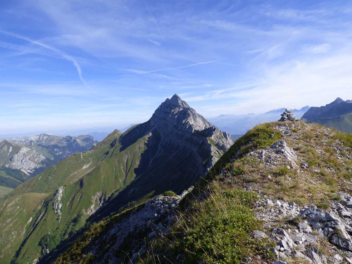
France > Auvergne-Rhône-Alpes > Savoie > Massif des Bauges Regional Natural Park
Length
11km
Duration
7h30min
Elev gain
1100m
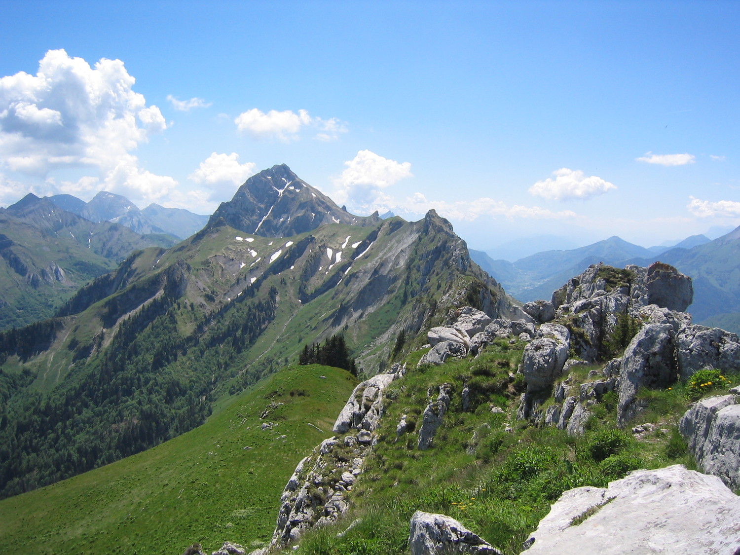
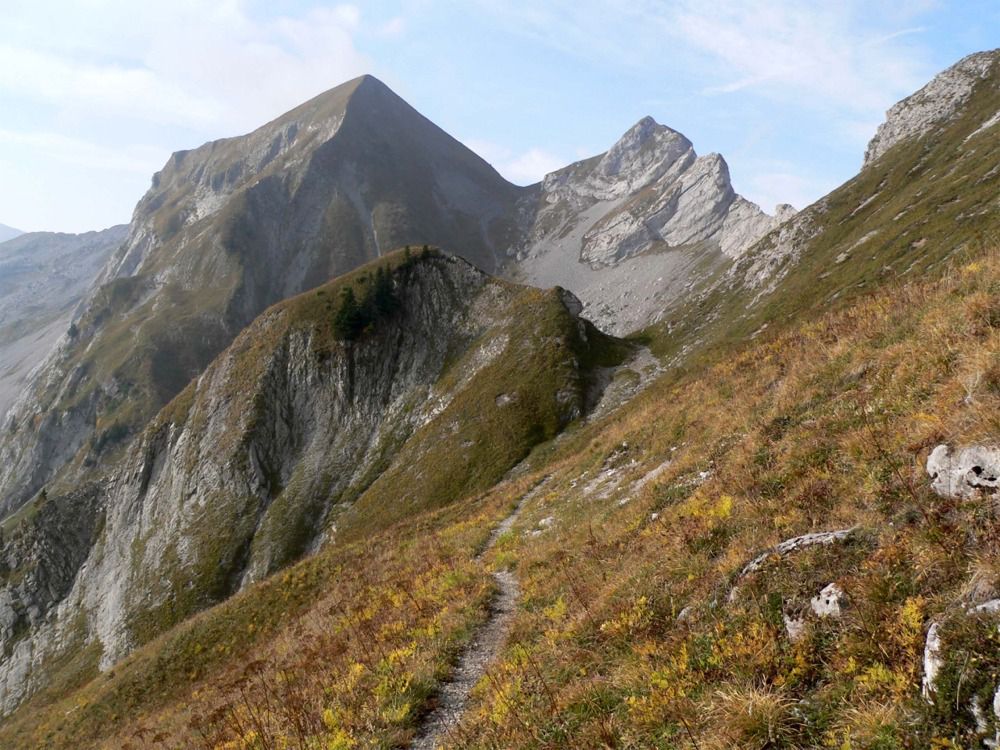
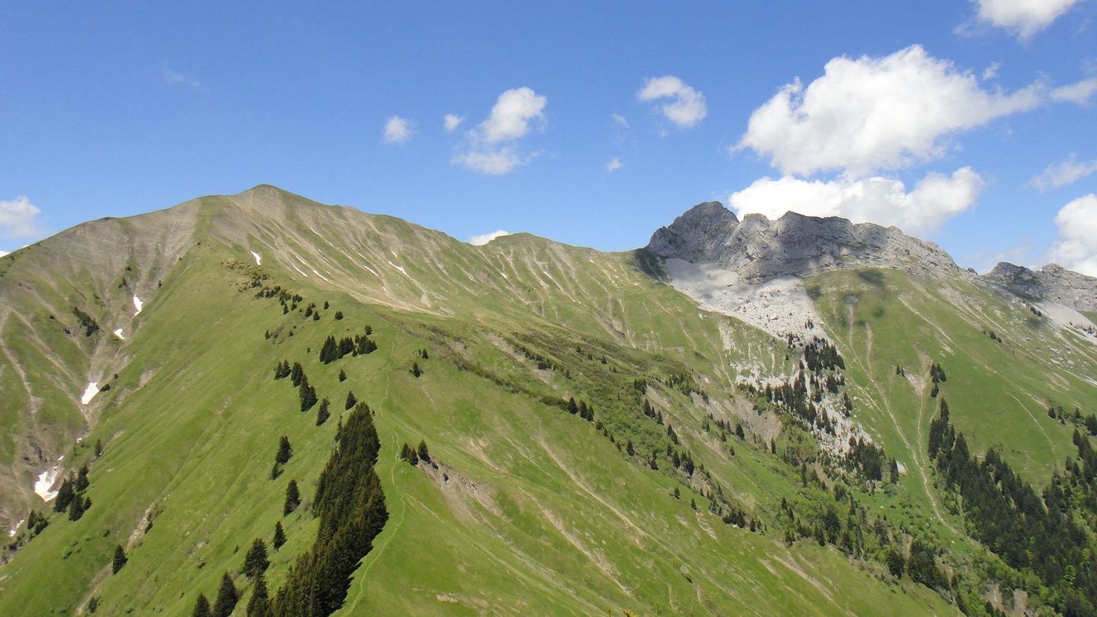
Ascent which offers a nice panorama on the Bauges.

Already more than 200,000 users!
Uphill
1100m
Highest point
2148m
Downhill
1100m
Lowest point
1203m
Route type
There and back
Download the map on your smartphone to save battery and rest assured to always keep access to the route, even without signal.
Includes IGN France and Swisstopo.
Small parking at the start of the hike. It can get busy during high season.
I indicate whether dogs are allowed or prohibited on this trail
From May to September
0 ratings
Also enjoy:

Already more than 200,000 users!