Uphill
361m
Length
10km
Duration
3h30min
Elev gain
361m
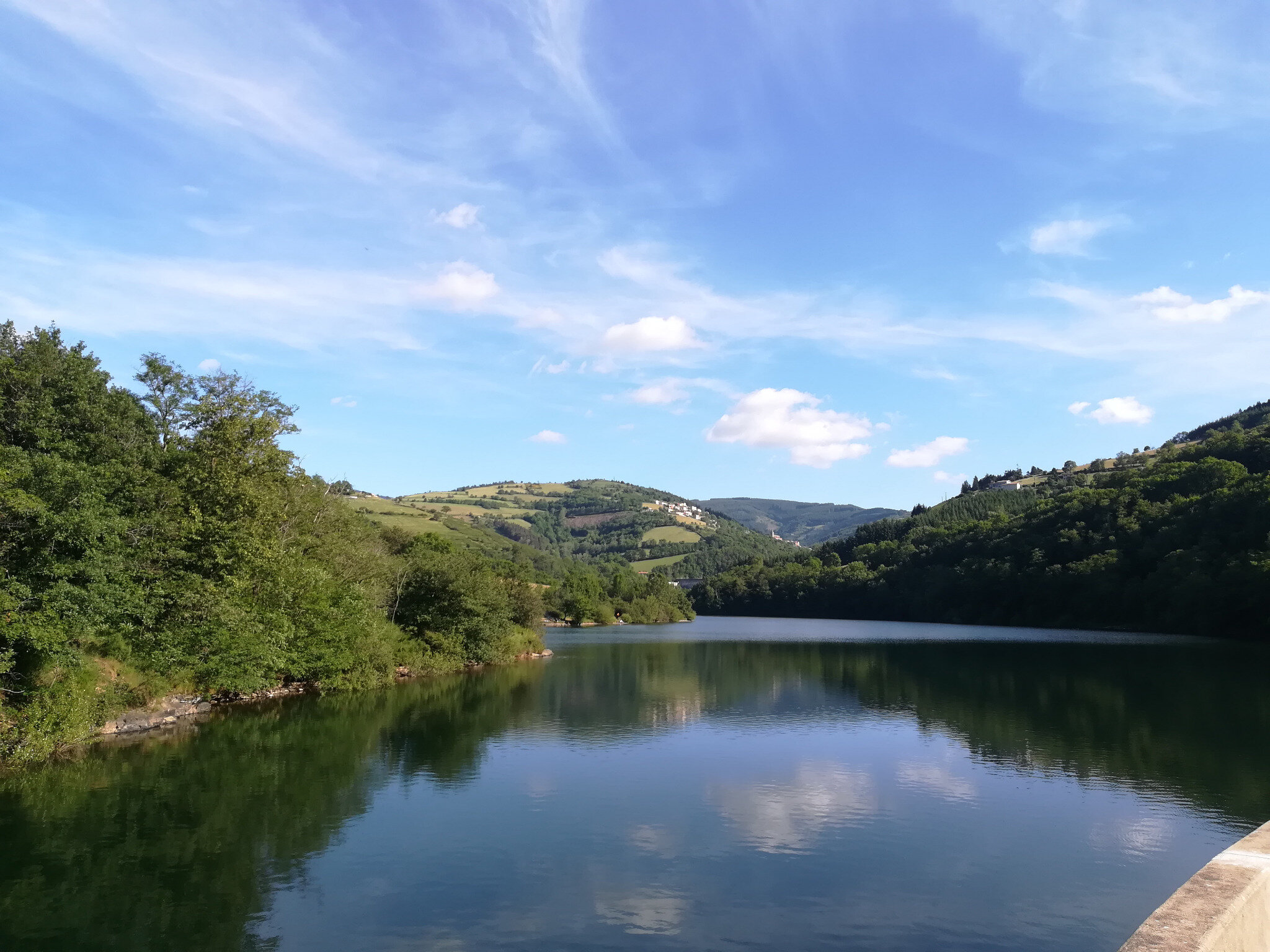
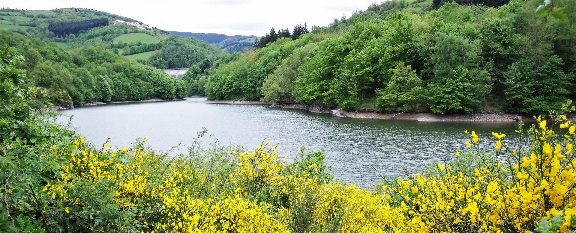
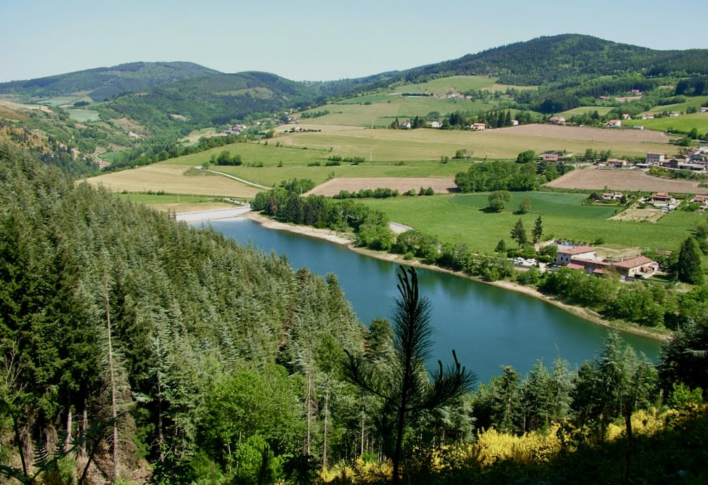
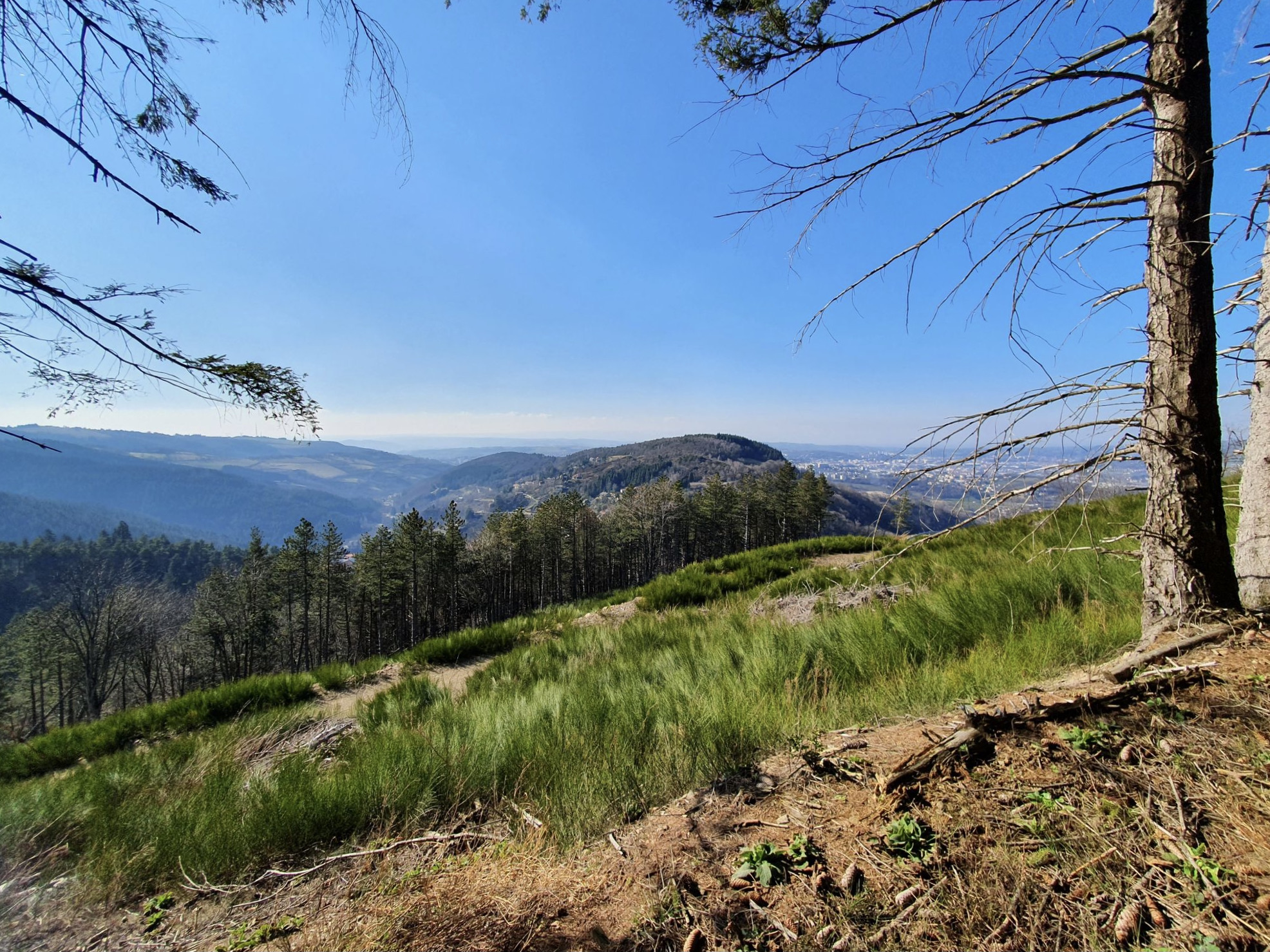
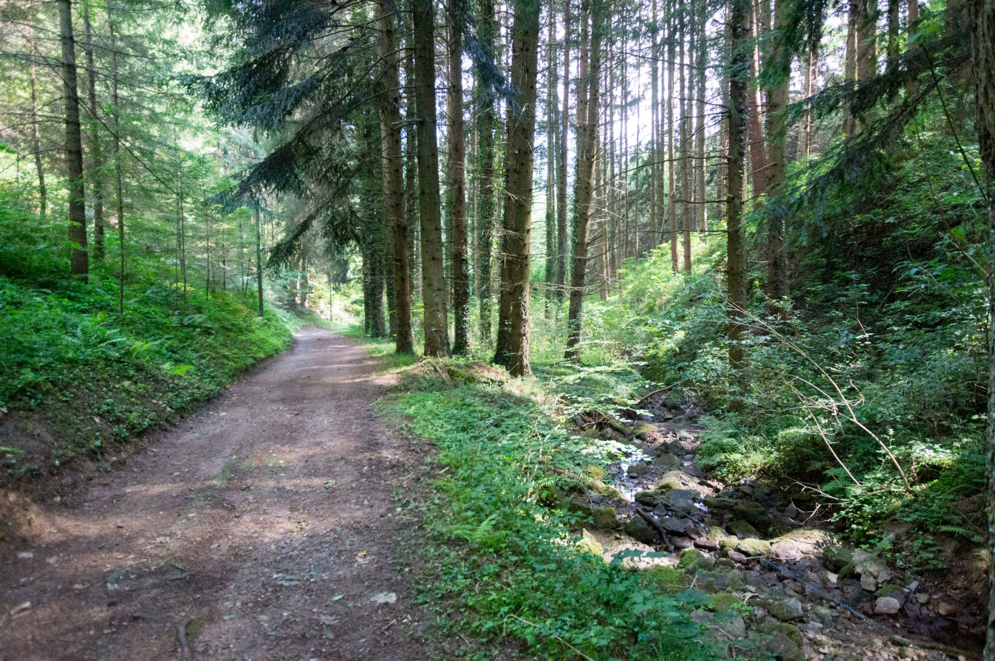
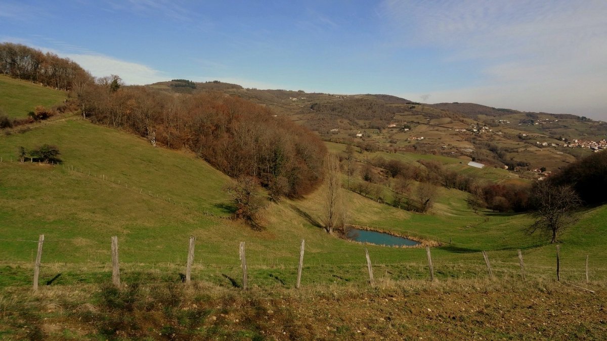
This hike starts very close to Valfleury and makes a nice loop in the hills and valleys of Jarez. This side of the Monts du Lyonnais is embellished with many pretty hamlets that the route crosses during this walk.

Already more than 200,000 users!
Uphill
361m
Highest point
826m
Downhill
361m
Lowest point
557m
Route type
Loop
Download the map on your smartphone to save battery and rest assured to always keep access to the route, even without signal.
Includes IGN France and Swisstopo.
I indicate whether dogs are allowed or prohibited on this trail
All year
0 ratings
Also enjoy:

Already more than 200,000 users!