Uphill
96m
France > Auvergne-Rhône-Alpes > Loire > Pilat Regional Natural Park
Length
4km
Duration
1h
Elev gain
96m
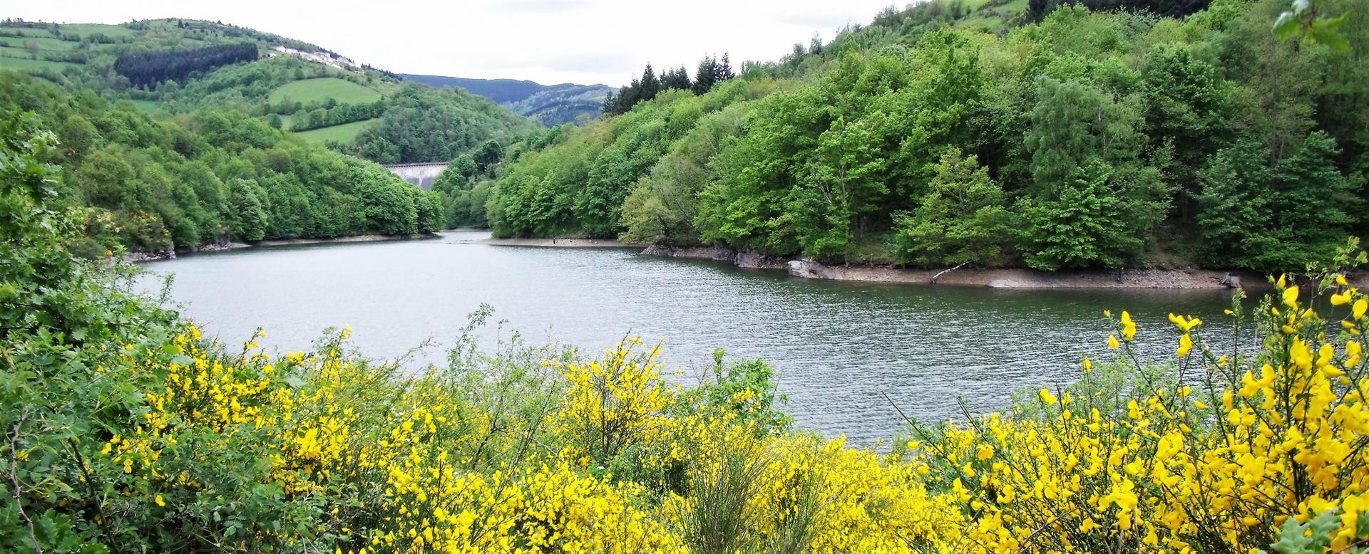
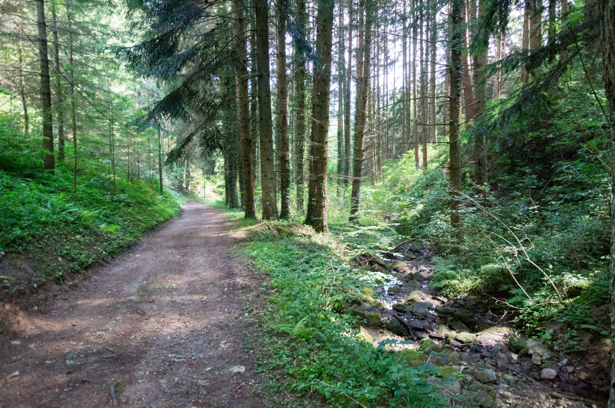
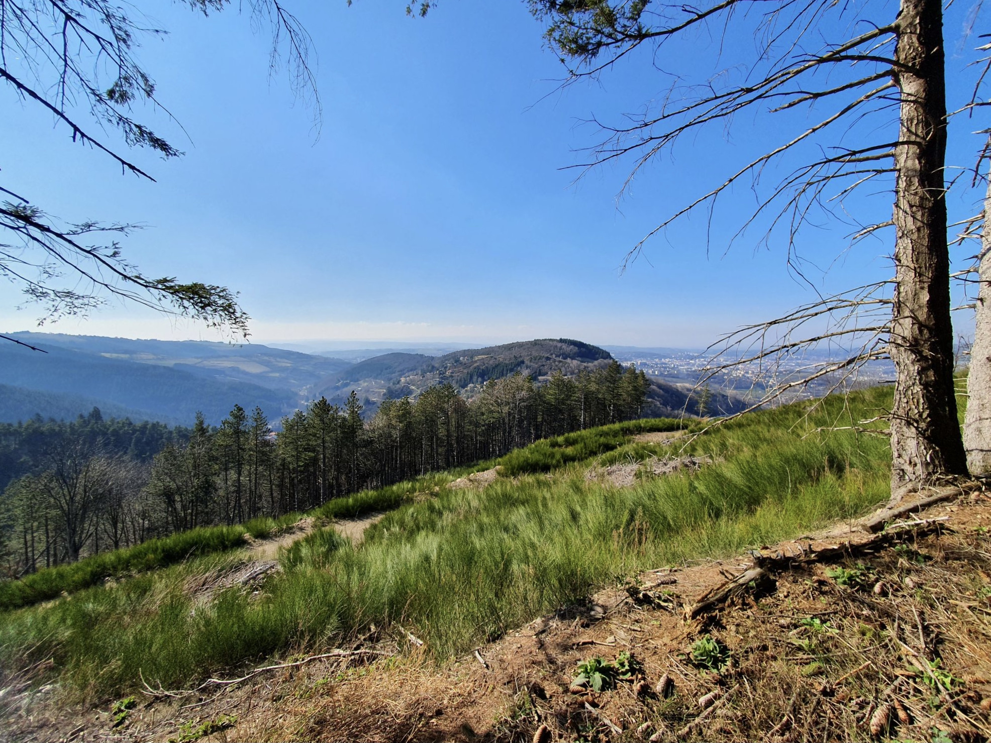
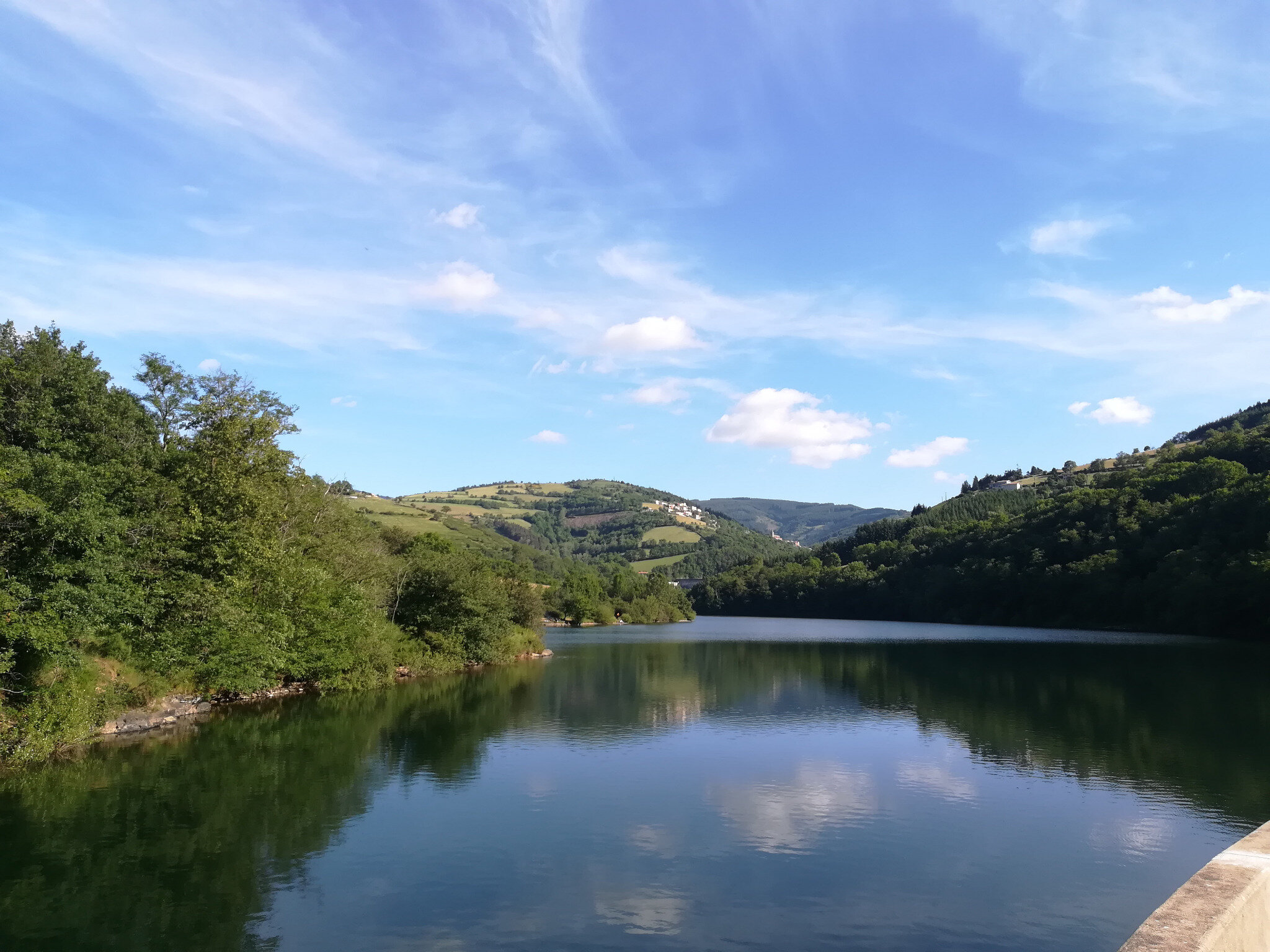
This is a walk around the lake of the Soulage dam, in La Valla-en-Gier. This reservoir is surrounded by undergrowth and some meadows.
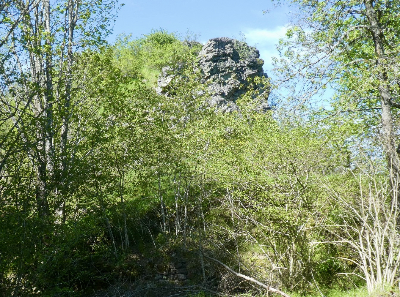
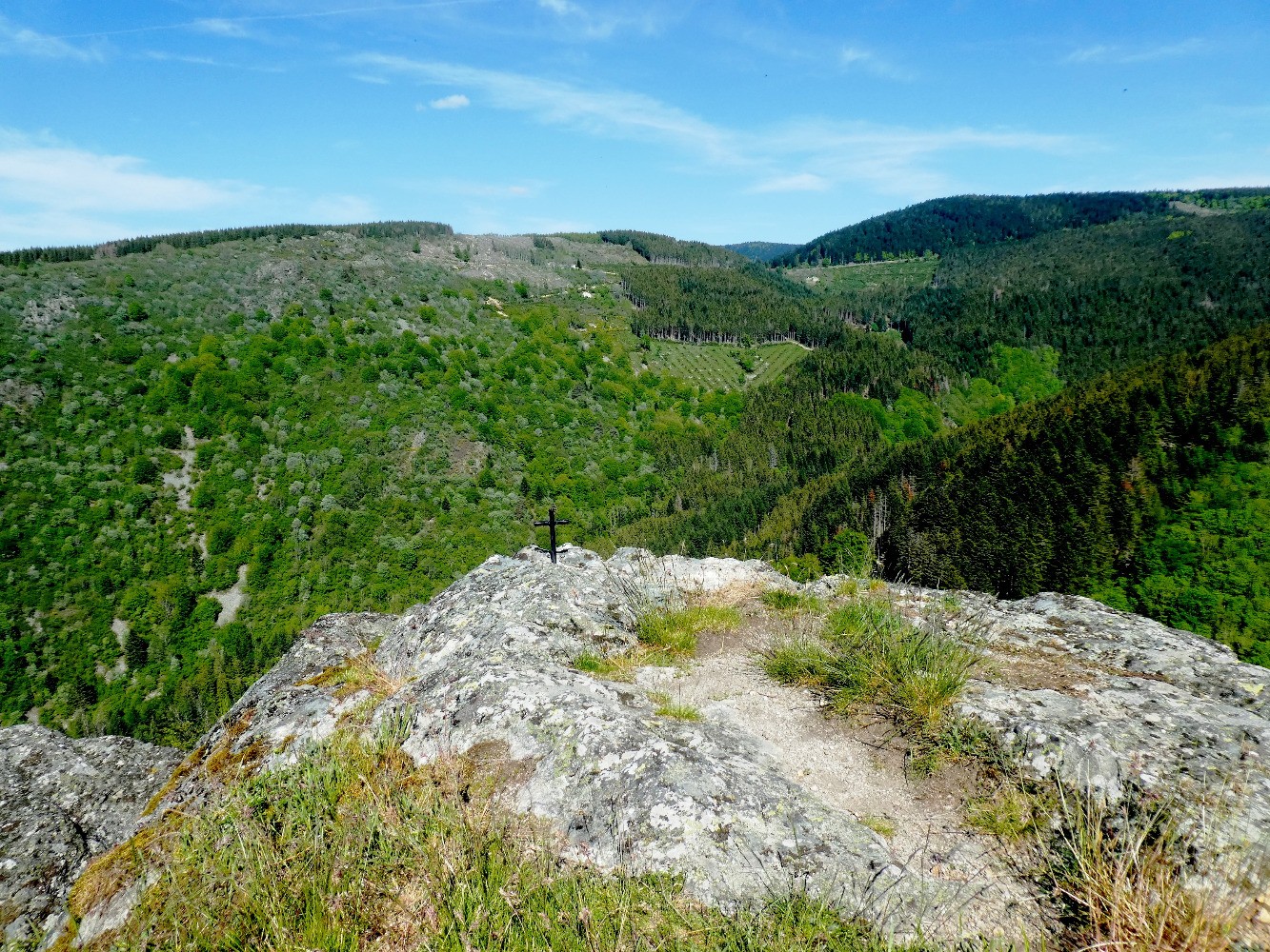
Note that some passages require the use of a rope, which can be tricky with children.

Already more than 200,000 users!
Uphill
96m
Highest point
522m
Downhill
96m
Lowest point
463m
Route type
Loop
Download the map on your smartphone to save battery and rest assured to always keep access to the route, even without signal.
Includes IGN France and Swisstopo.
I indicate whether dogs are allowed or prohibited on this trail
All year
1 rating
Also enjoy:

Already more than 200,000 users!