Uphill
224m
France > Auvergne-Rhône-Alpes > Loire > Pilat Regional Natural Park
Length
5km
Duration
2h
Elev gain
224m
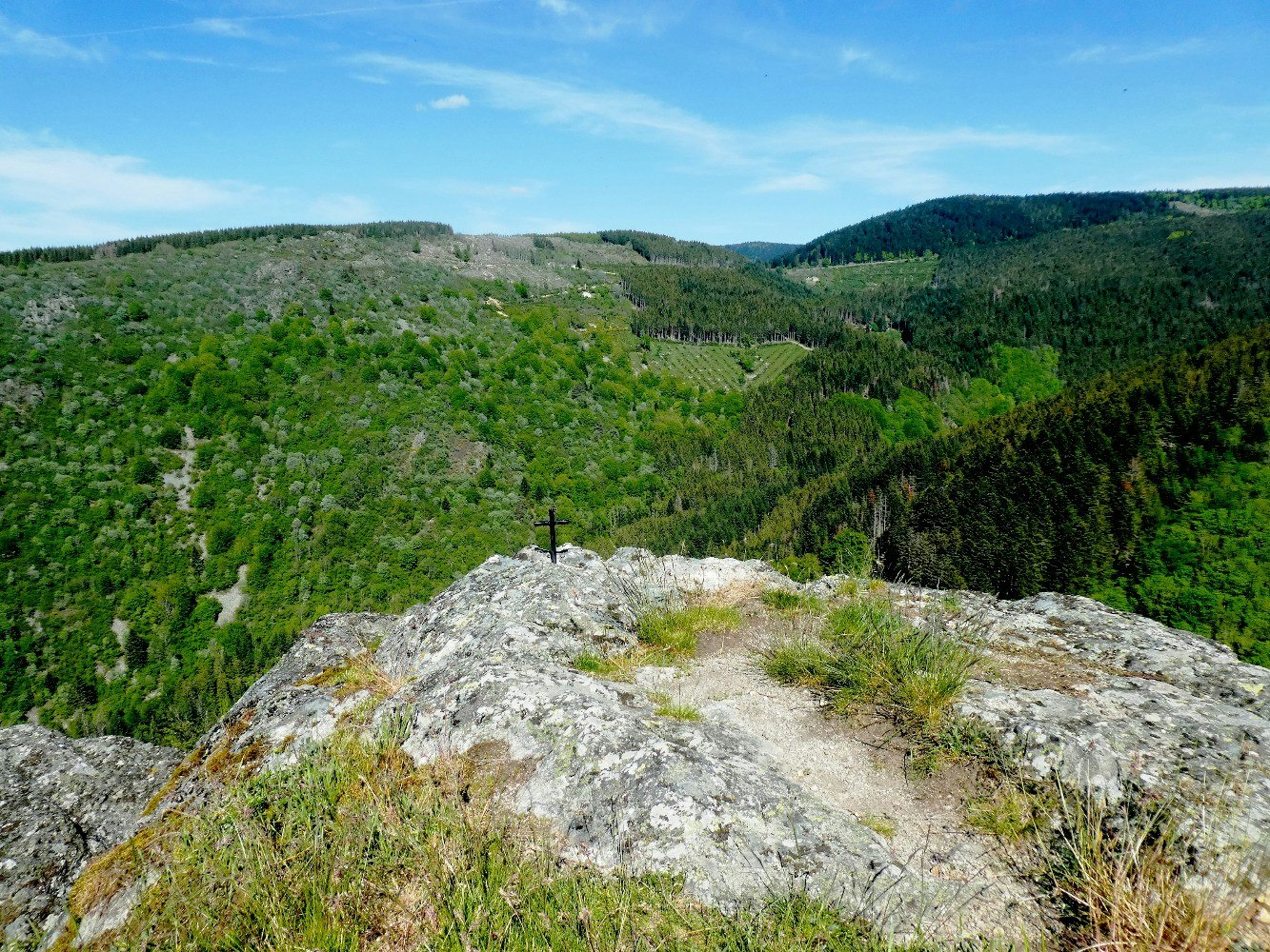
From Bessat, this route descends to the ruins of the Château du Thoil, which once occupied a rocky promontory above the Ban valley. Almost nothing remains today, but the natural site and the forest are very pleasant.

Already more than 200,000 users!
Uphill
224m
Highest point
1181m
Downhill
224m
Lowest point
969m
Route type
Loop
Download the map on your smartphone to save battery and rest assured to always keep access to the route, even without signal.
Includes IGN France and Swisstopo.
I indicate whether dogs are allowed or prohibited on this trail
Can be difficult in Winter
1 rating
Also enjoy:

Already more than 200,000 users!


