Uphill
263m
France > Auvergne-Rhône-Alpes > Loire > Pilat Regional Natural Park
Length
9km
Duration
3h
Elev gain
263m
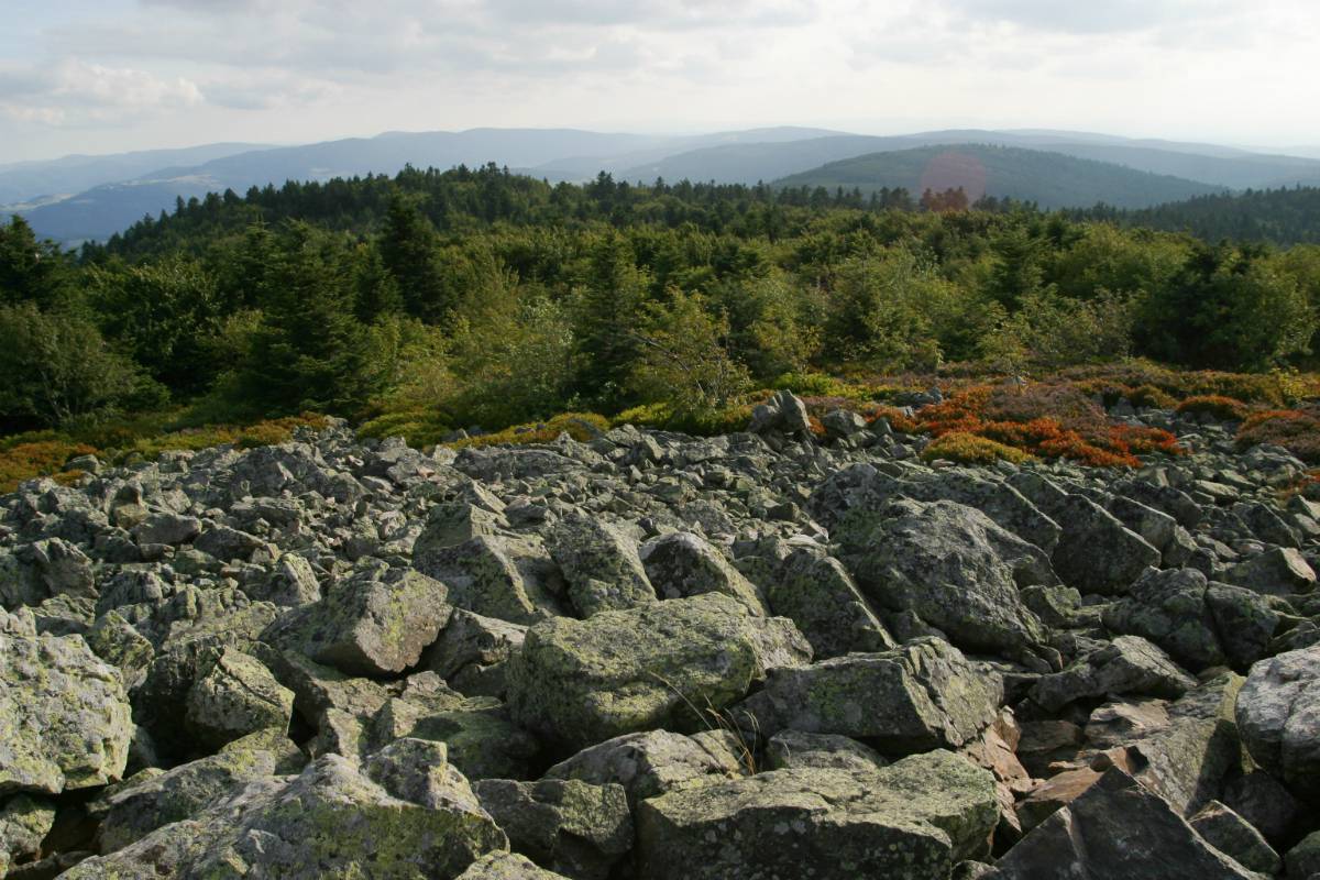
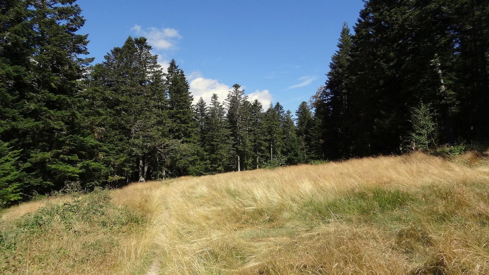
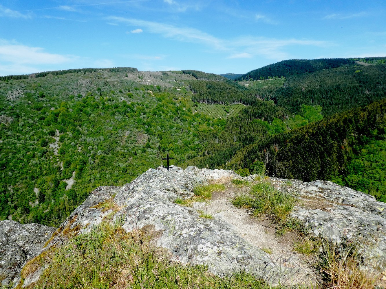
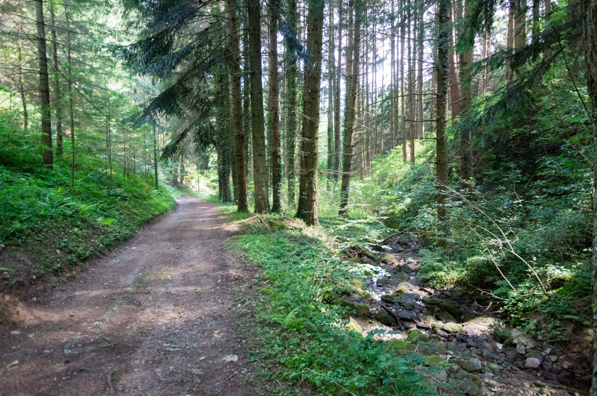
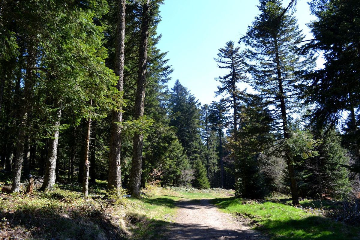
Pretty hike in the forest on the foothills of the Massif Central. The route begins at the Col de la Croix de Chaubouret, located at an altitude of 1,201 metres, and takes the direction of Le Bessat before continuing in the woods and completing a loop.
The starting point offers a beautiful view of the Rhone Valley and the Alps.

Already more than 200,000 users!
Uphill
263m
Highest point
1251m
Downhill
263m
Lowest point
987m
Route type
Loop
Download the map on your smartphone to save battery and rest assured to always keep access to the route, even without signal.
Includes IGN France and Swisstopo.
I indicate whether dogs are allowed or prohibited on this trail
Can be difficult in Winter
1 rating
Also enjoy:

Already more than 200,000 users!