Uphill
491m
France > Auvergne-Rhône-Alpes > Loire > Pilat Regional Natural Park
Length
15km
Duration
5h
Elev gain
491m
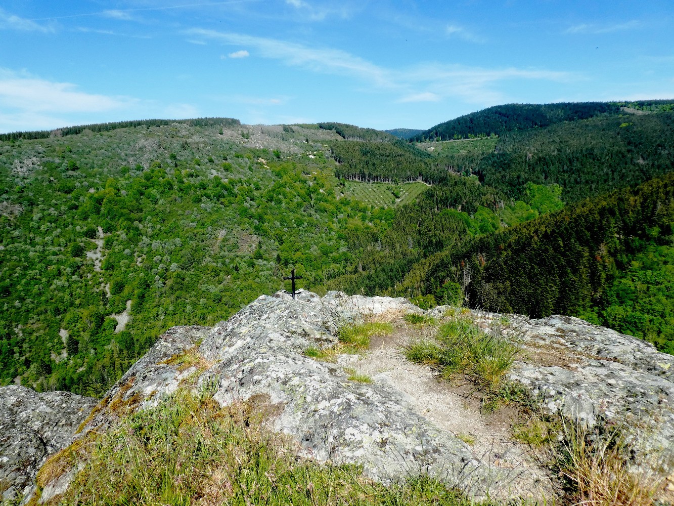
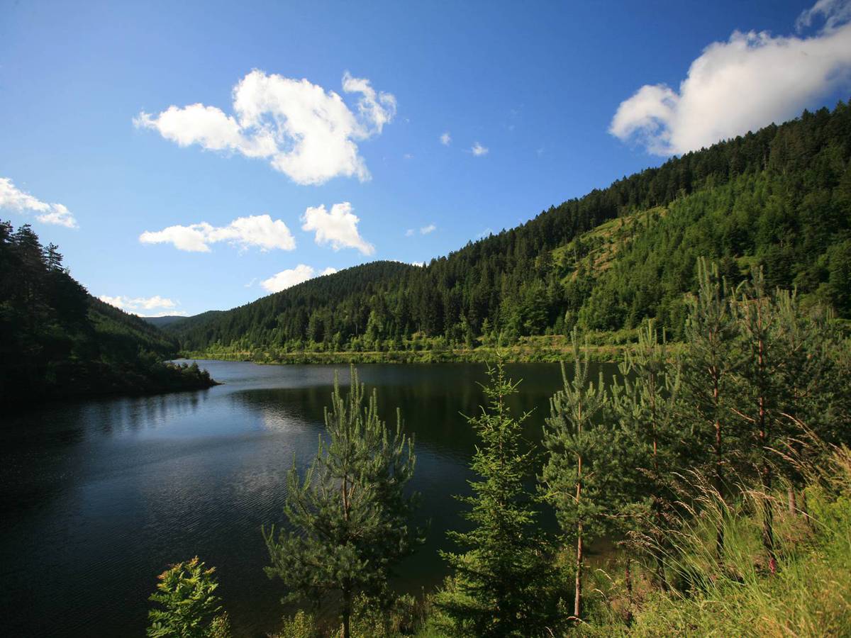
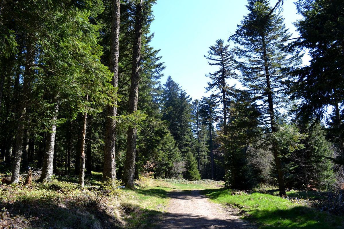
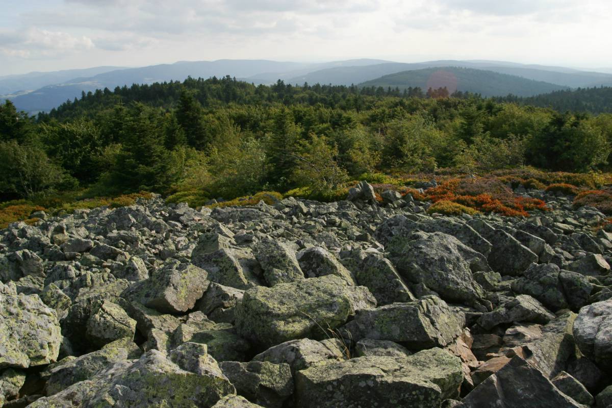
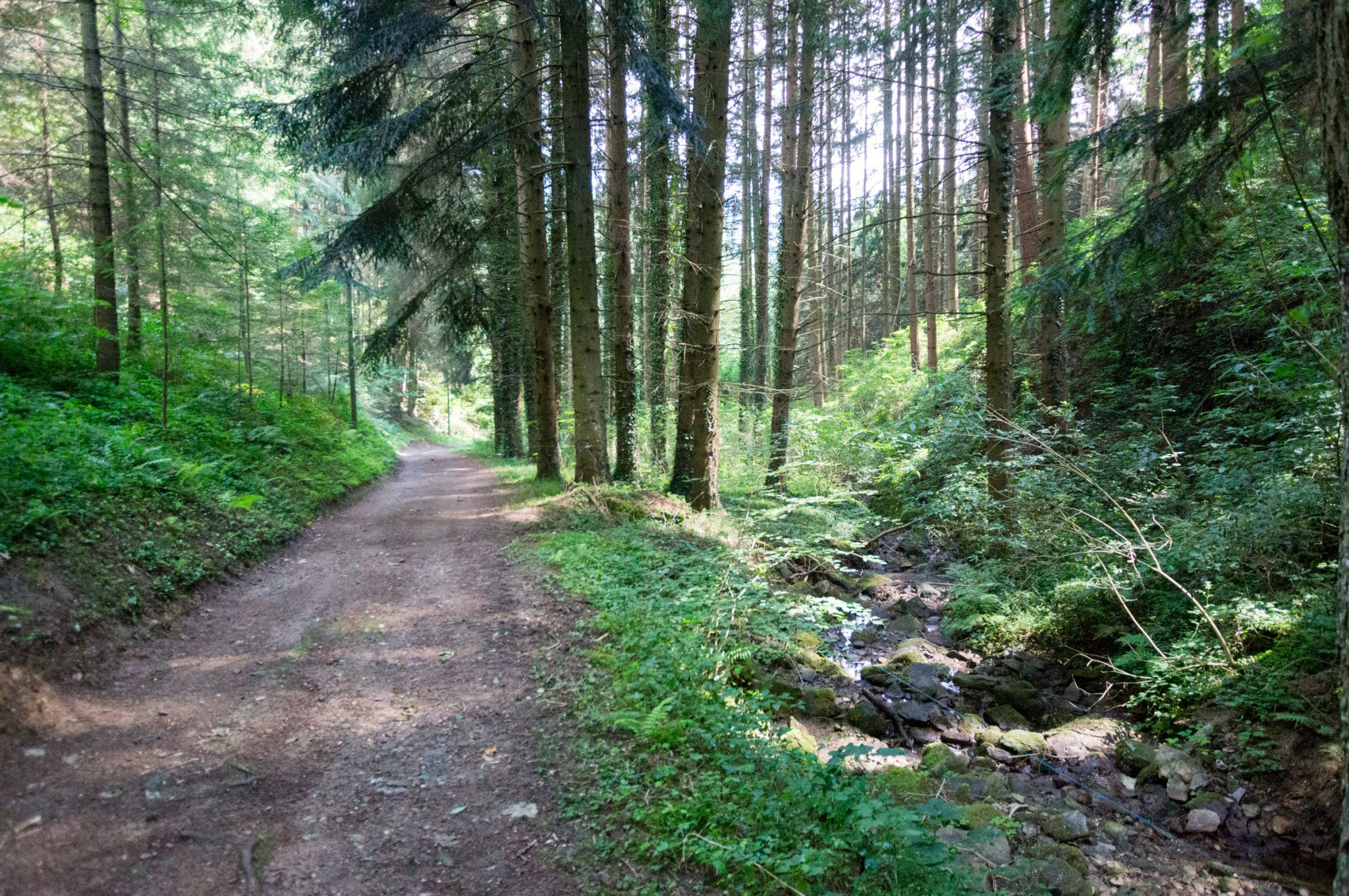
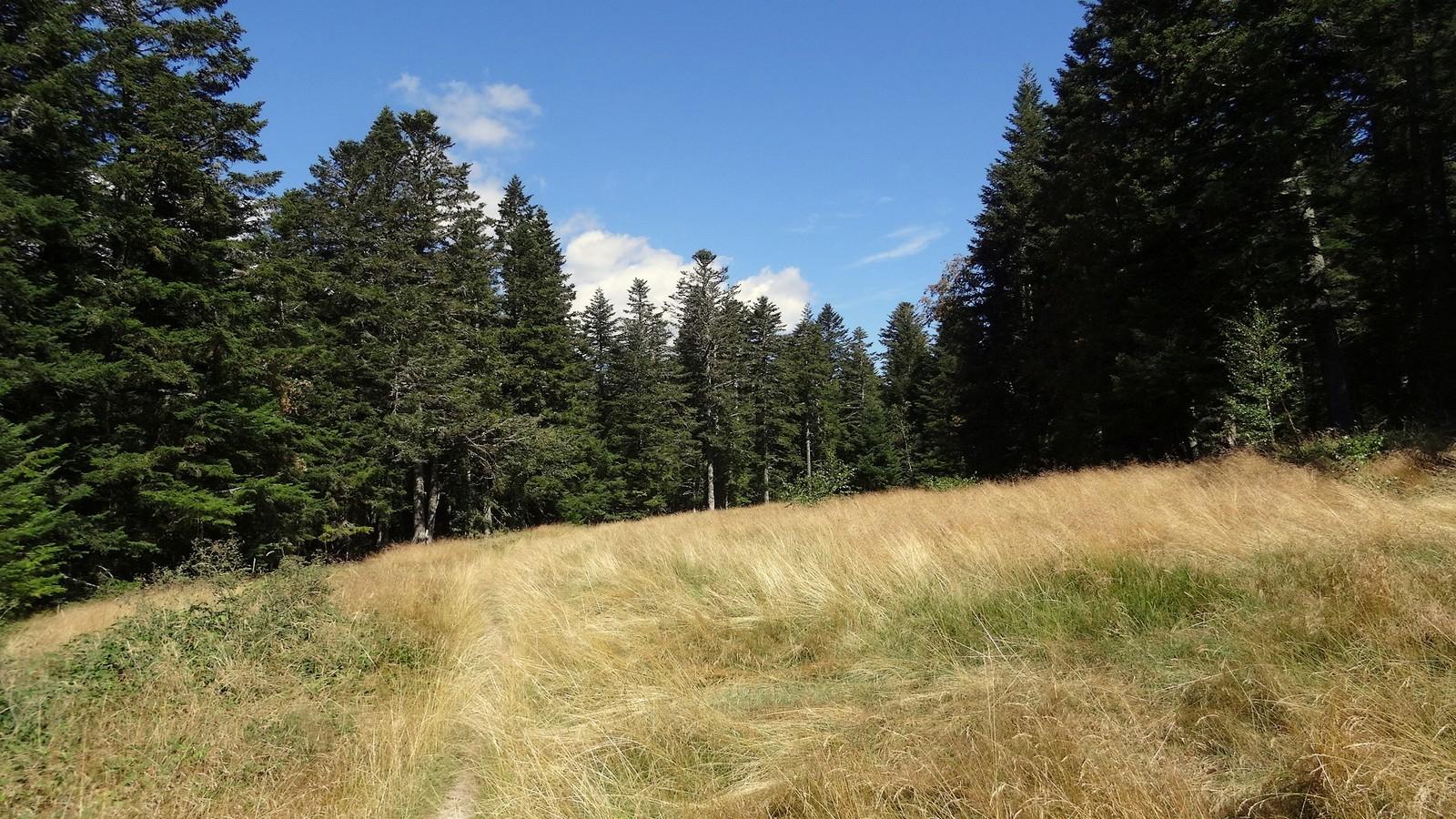
Here is a long loop hike between the municipalities of Bessat and Versanne. The route takes place mainly in the forest and crosses two small streams: the Biousse and the Furan.

Already more than 200,000 users!
Uphill
491m
Highest point
1302m
Downhill
491m
Lowest point
1011m
Route type
Loop
Download the map on your smartphone to save battery and rest assured to always keep access to the route, even without signal.
Includes IGN France and Swisstopo.
I indicate whether dogs are allowed or prohibited on this trail
Can be difficult in Winter
0 ratings
Also enjoy:

Already more than 200,000 users!