Uphill
172m
France > Auvergne-Rhône-Alpes > Loire > Pilat Regional Natural Park
Length
7km
Duration
2h
Elev gain
172m
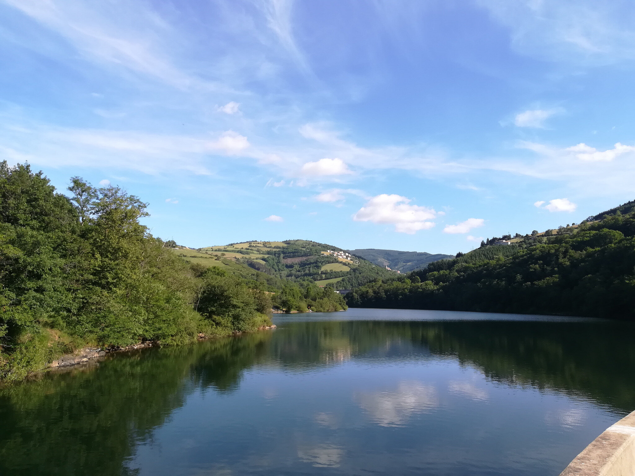
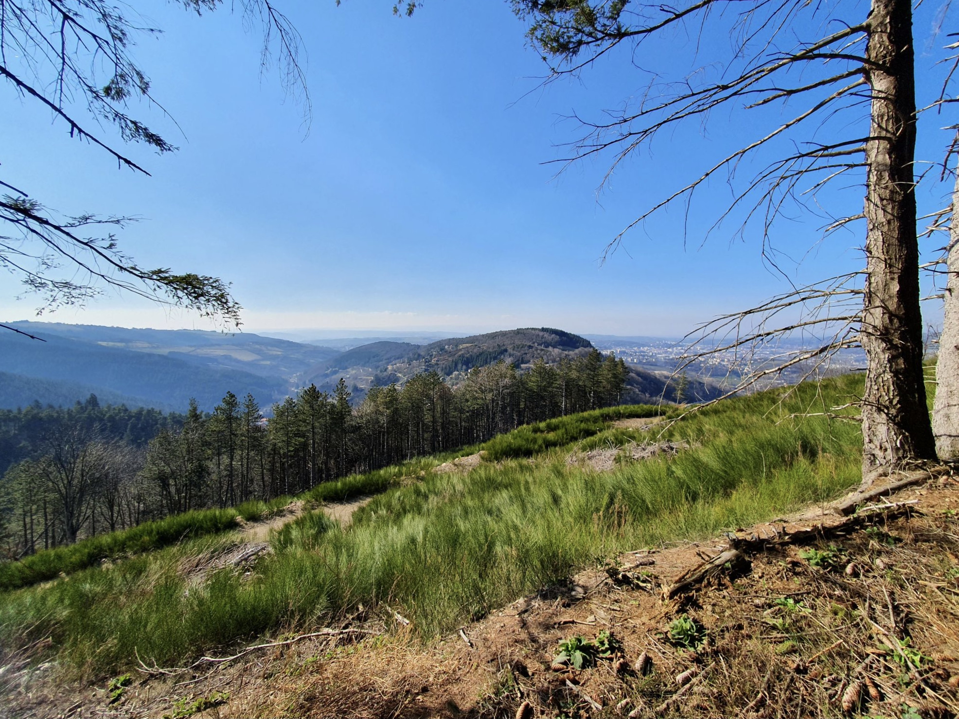
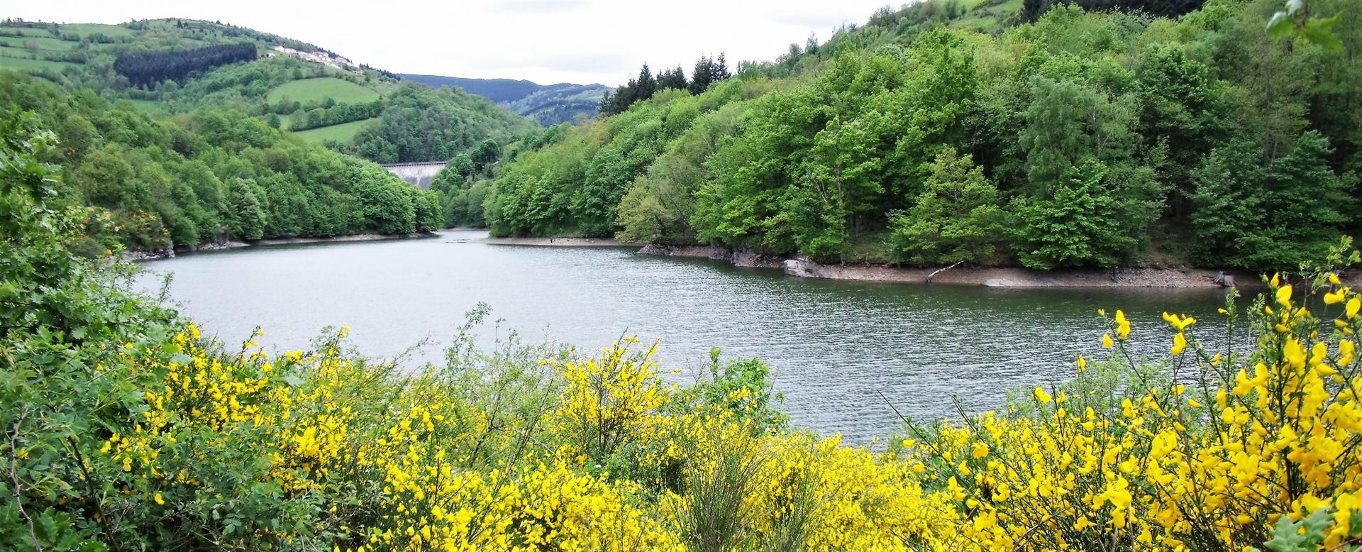
This trail circles two lakes created by dams intended for the production of drinking water: the Soulages dam and the Rive dam.
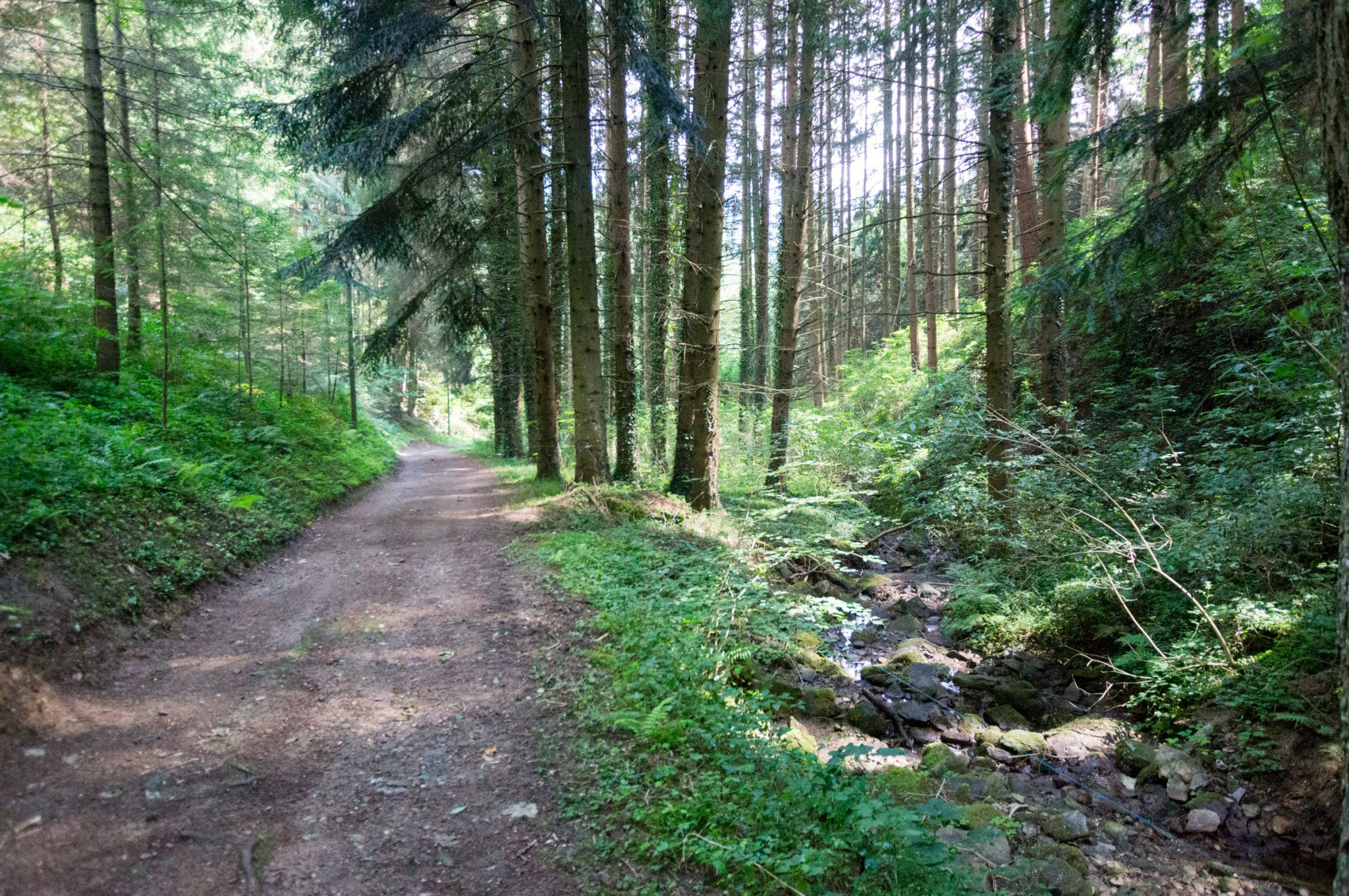
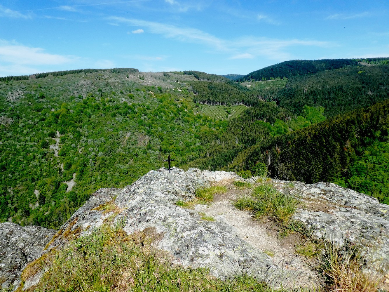
The landscapes are beautiful: hilly and wooded, with some meadows and always water nearby.
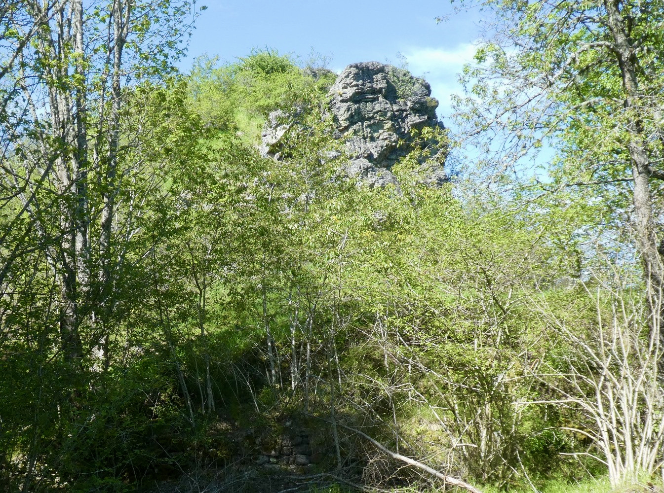
Note that some passages require the use of a rope, which can be tricky with children.

Already more than 200,000 users!
Uphill
172m
Highest point
551m
Downhill
172m
Lowest point
463m
Route type
Loop
Download the map on your smartphone to save battery and rest assured to always keep access to the route, even without signal.
Includes IGN France and Swisstopo.
I indicate whether dogs are allowed or prohibited on this trail
All year
0 ratings
Also enjoy:

Already more than 200,000 users!