Uphill
439m
France > Auvergne-Rhône-Alpes > Loire > Pilat Regional Natural Park
Length
12km
Duration
4h
Elev gain
439m
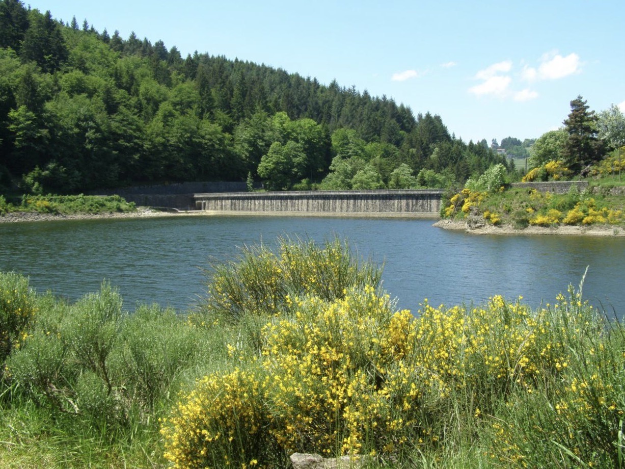
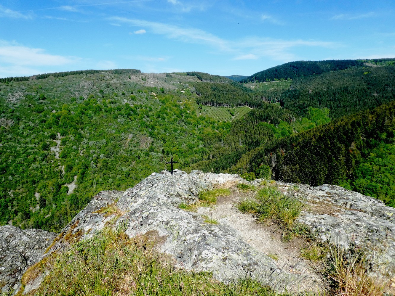
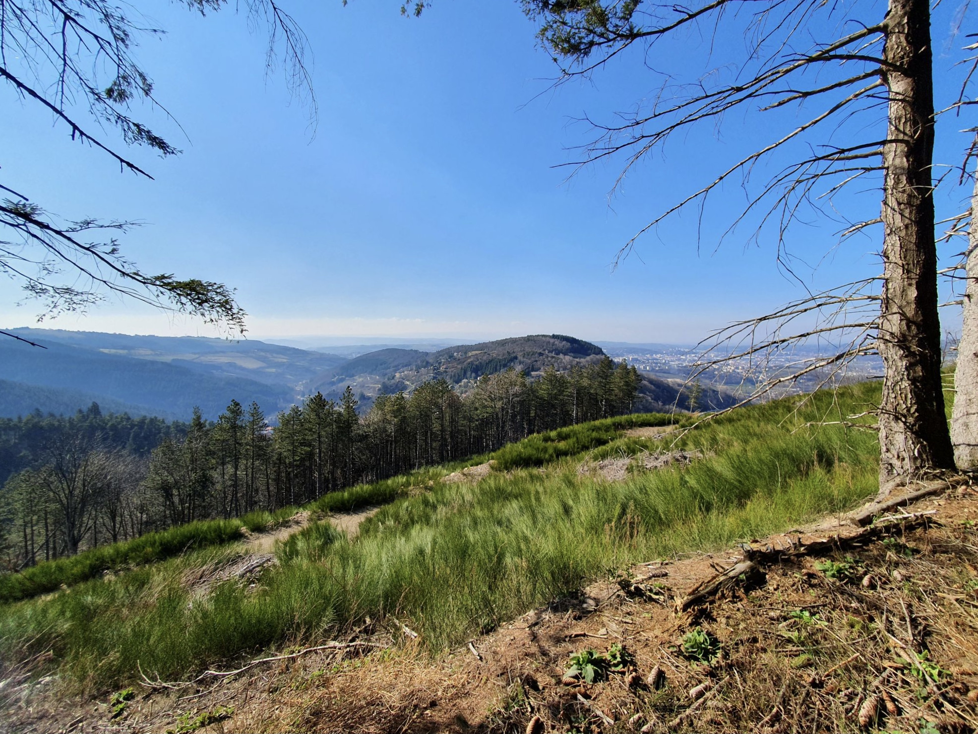
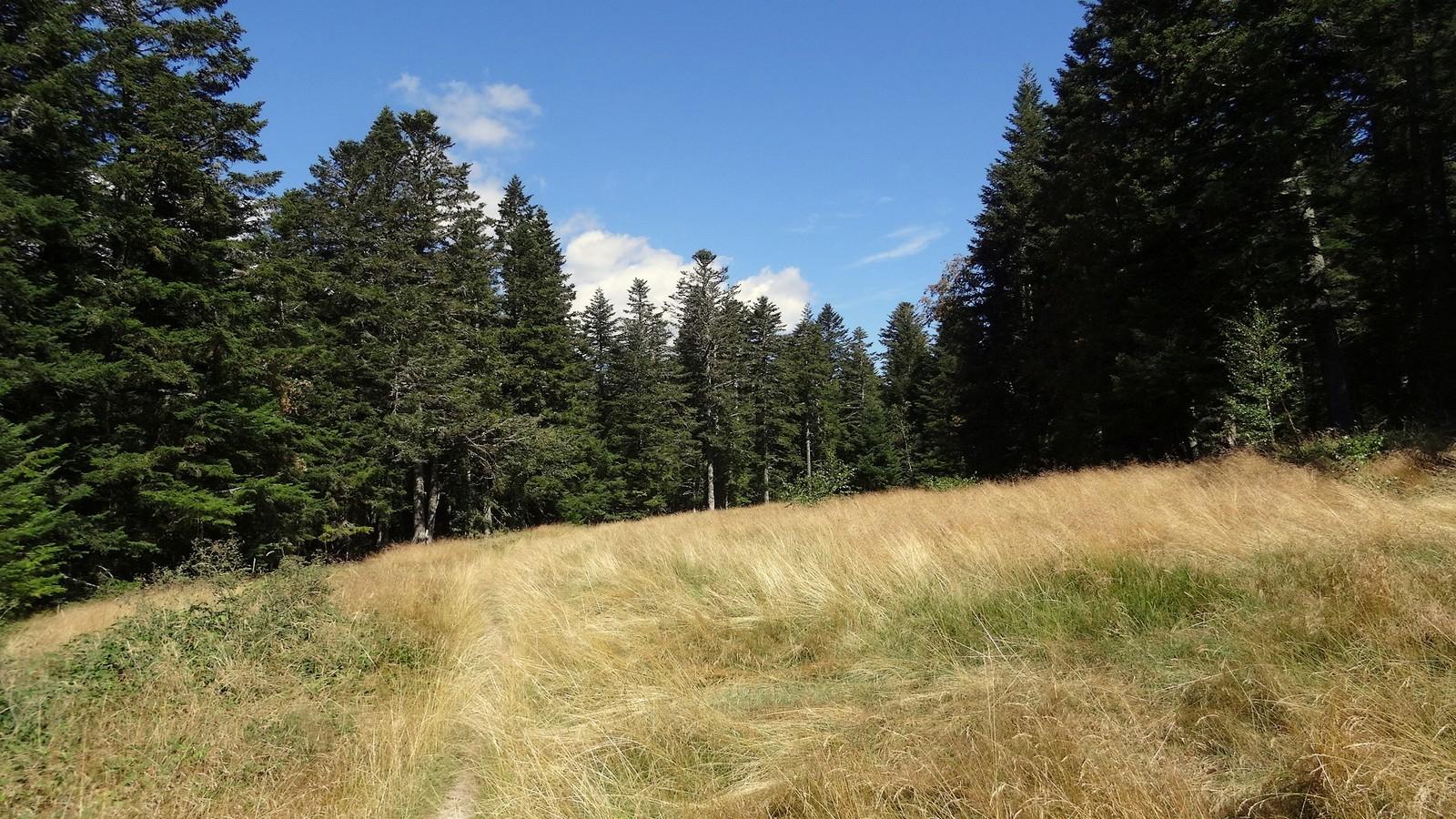
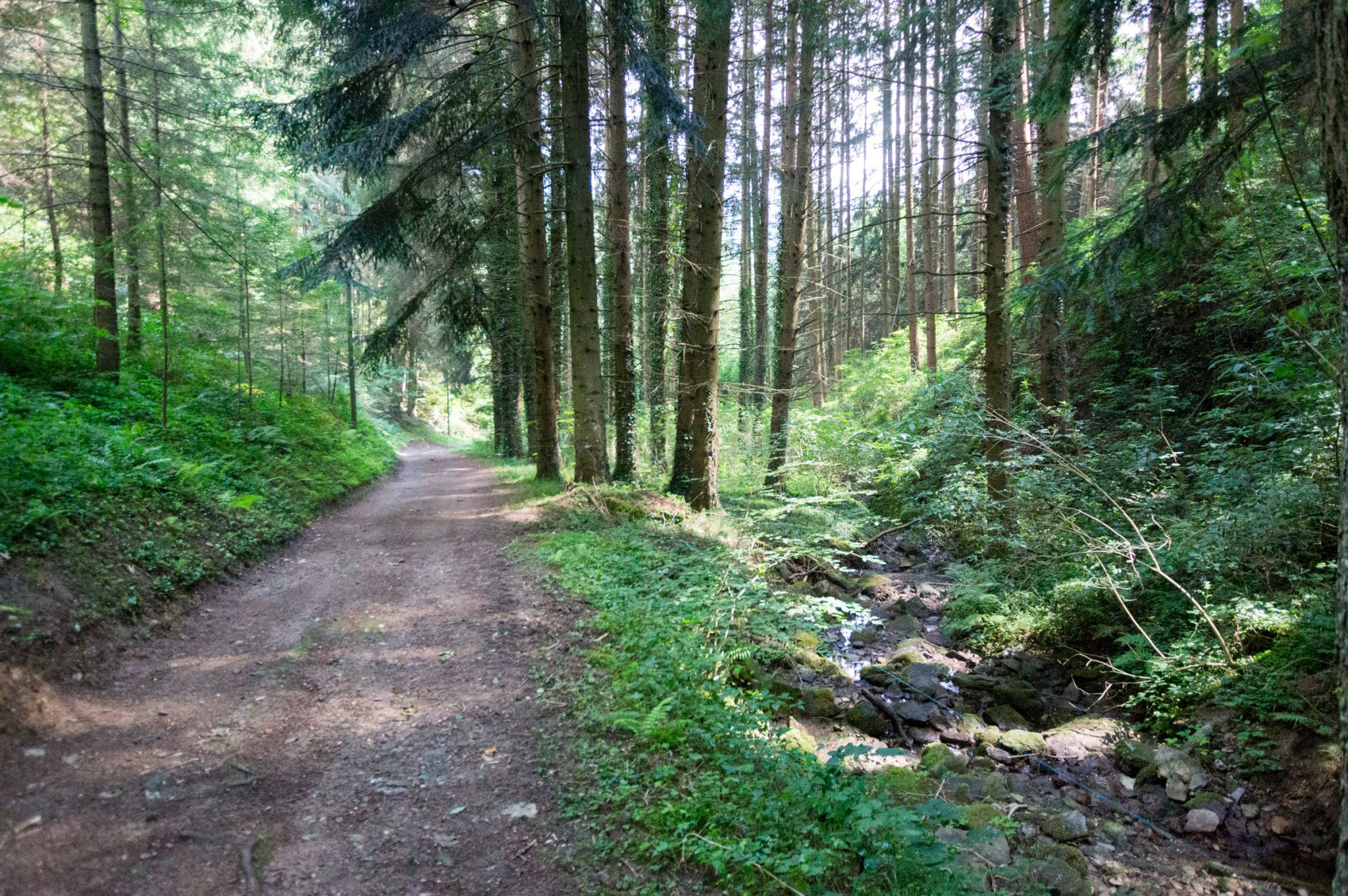
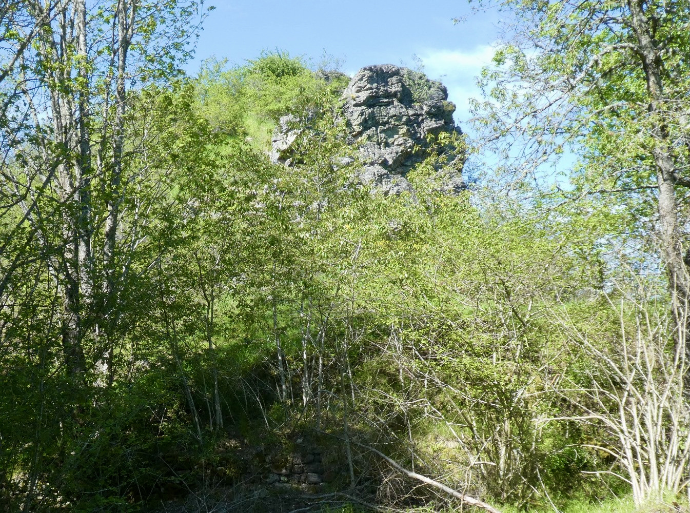
From the hamlet of Plateau de la Barbanche, this hike takes place in the forest with a beautiful passage through the ruins of the castle of Thoil. The path then runs along the Ban towards the hamlet of Laval, before returning to the starting point.

Already more than 200,000 users!
Uphill
439m
Highest point
1042m
Downhill
439m
Lowest point
733m
Route type
Loop
Download the map on your smartphone to save battery and rest assured to always keep access to the route, even without signal.
Includes IGN France and Swisstopo.
I indicate whether dogs are allowed or prohibited on this trail
Can be difficult in Winter
0 ratings
Also enjoy:

Already more than 200,000 users!